NAWM
The National Association of Wetland Managers is a nonprofit membership organization established in 1983 to promote and enhance protection and management of wetland resources, to promote application of sound science to wetland management efforts and to provide training and education for our members and the public. Membership is open to anyone who is involved with wetland resources.
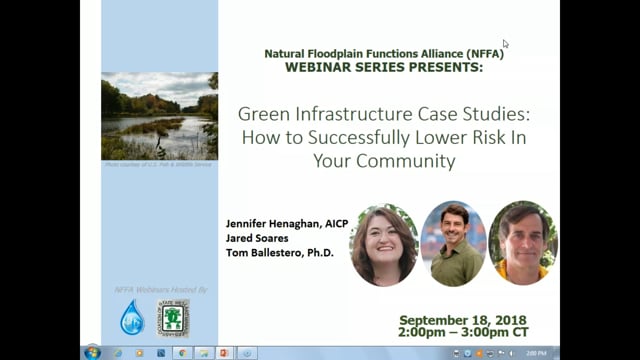
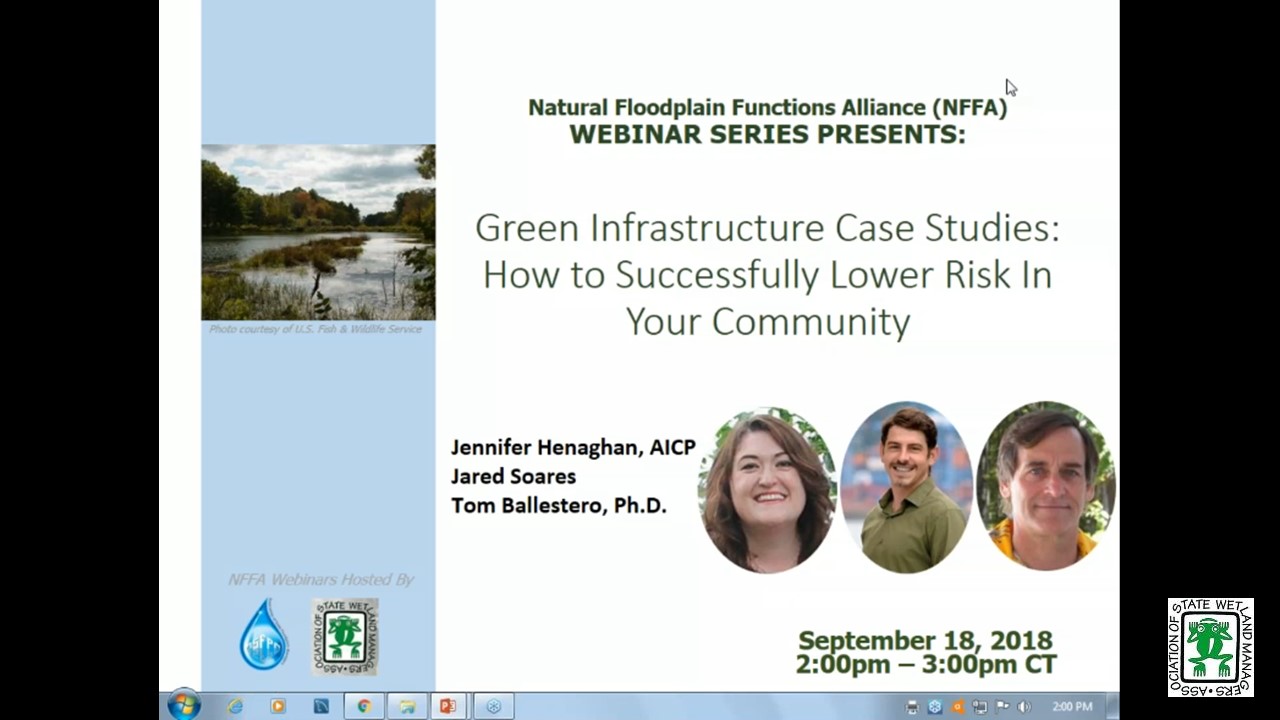
Green Infrastructure Case Studies: How to Successfully Lower Risk in Your Community
Held Tuesday, September 18, 2018 - 3:00 p.m. ET
HOST
Association of State Floodplain Managers
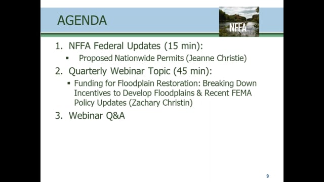
This presentation began with a federal updates by Maria Honeycutt, Ph.D., CFM, Coastal Hazards Specialist at NOAA and Jeanne Christie, Senior Policy Advisor at the Association of State Wetland Managers, followed by a brief Q&A period. This was followed by the updates with our featured webinar presentation entitled “Green Infrastructure Case Studies: How to Successfully Lower Risk in Your Community.” Speakers included: Jennifer Henaghan, AICP, Deputy Research Director and Manager of the Green Communities Center at the American Planning Association; Dr. Tom Ballestero, Associate Professor of Civil and Environmental Engineering at the University of New Hampshire (UNH) and Director of the UNH Stormwater Center; and Jared Soares, Research Analyst at Earth Economics. More information about the presentation can be found below.
PRESENTERS
- Jennifer Henaghan, AICP, , Deputy Research Director and Manager of the Green Communities Center at the American Planning Association
- Dr. Tom Ballestero, Associate Professor of Civil and Environmental Engineering, University of New Hampshire (UNH) and Director of the UNH Stormwater Center
- Jared Soares, Research Analyst, Earth Economics
ABSTRACT
During this webinar, our presenters broke down the anatomy of green infrastructure projects from the design process to cost-benefit analysis to community partnerships. Participants learned about green infrastructure projects for watershed restoration, stream restoration, and integration of stormwater green infrastructure into parks and park systems. The presentation also included a report on the highlights from the September U.S. Army Corps of Engineers Silver Jackets national support team meeting including brief overviews of Federal agency green infrastructure programs.
Please click only once on each video recording to view in this window.
Green Infrastructure Case Studies: How to Successfully Lower Risk in Your Communit
![]()
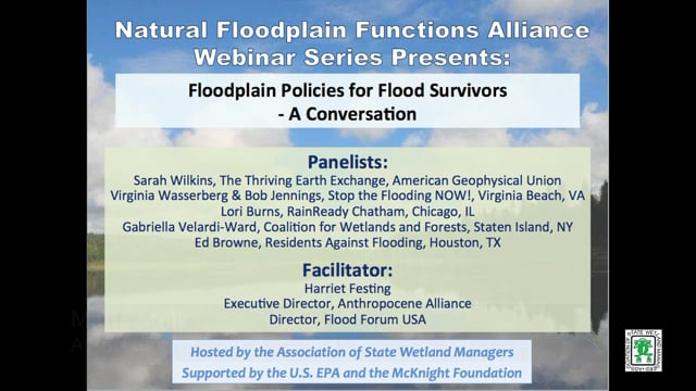
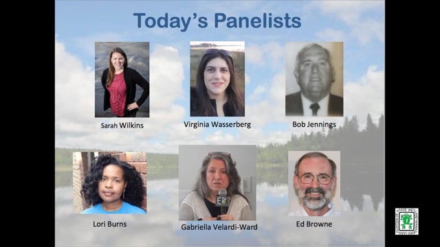
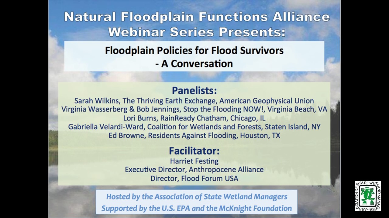
Floodplain Policies for Flood Survivors - A Conversation
Held Tuesday, July 10, 2018 - 3:00 p.m. ET
INTRODUCTION
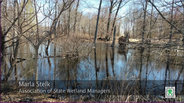
- Marla Stelk, Policy Analyst, Association of State Wetland Managers [PRESENTATION PDF]
FACILITATOR
- Harriet Festing, Executive Director of Anthropocene Alliance and Director of Flood Forum [PRESENTATION PDF]
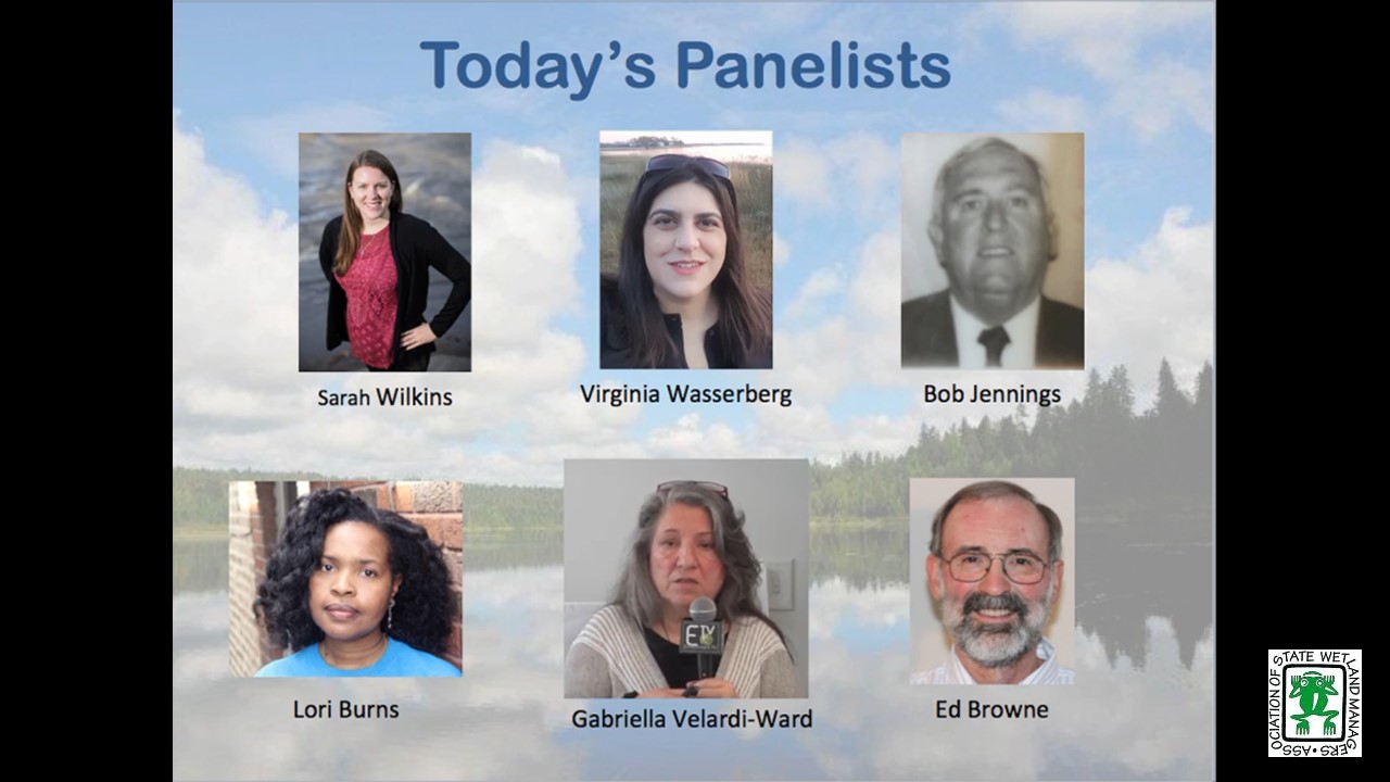
PRESENTER
- Sarah Wilkins, Thriving Earth Exchange, American Geophysical Union
- Virginia Wasserberg, Stop the Flooding NOW!, Virginia Beach, VA
- Bob Jennings, Stop the Flooding Now, Virginia Beach, VA
- Lori Burns, RainReady Chatham, Chicago, IL
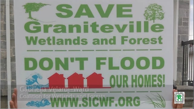
- Gabriella Velardi-Ward, Coalition for Wetlands and Forests, Staten Island, NY
- Ed Browne, Residents Against Flooding, Houston, TX
ABSTRACT
Recent research indicates that by 2050 more than 60 million may be vulnerable to “1-in-100-year” floods. Flood Forum USA is building a national, grassroots movement of communities affected by flooding. We are currently working with 25 flood advocacy group leaders from a dozen states, representing approximately 25,000 residents. Through our partnership with the American Geophysical Union, we have matched many of the groups with expert scientists from academia and federal agencies who are now working alongside them.
This webinar convenes flood group leaders to prompt a discussion on the state and national policies that flood survivors should be advocating for.
Please click only once on each video recording to view in this window.
Part 1: Introduction: Marla Stelk, Policy Analyst, Association of State Wetland Managers
Presenter: Sarah Wilkins, Thriving Earth Exchange, American Geophysical Union
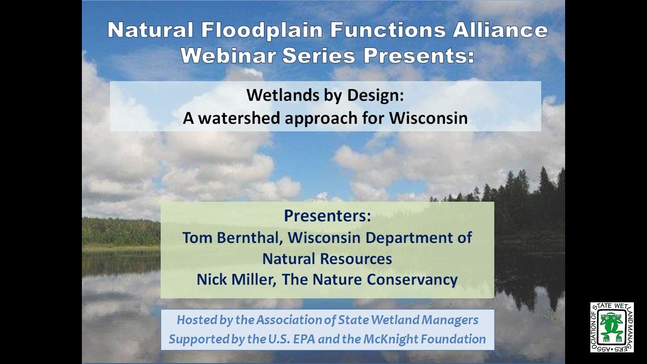
Wetlands by Design: A watershed approach for Wisconsin
Held Tuesday, May 15, 2018 - 3:00 p.m. - 4:30 p.m. EST
INTRODUCTION
- Marla Stelk, Policy Analyst, Association of State Wetland Managers [PRESENTATION PDF]
PRESENTERS
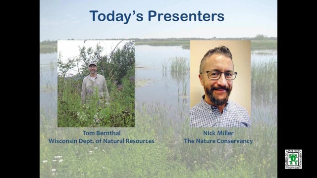
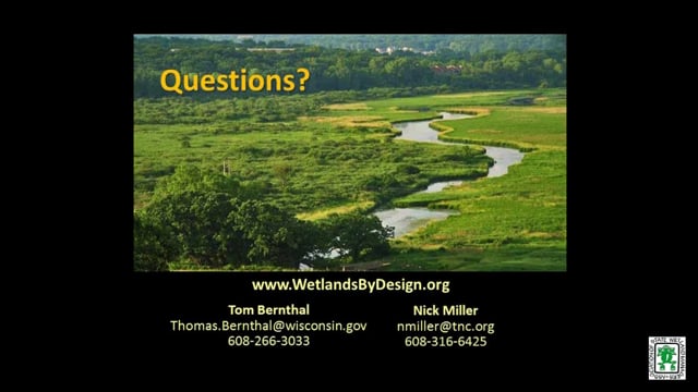
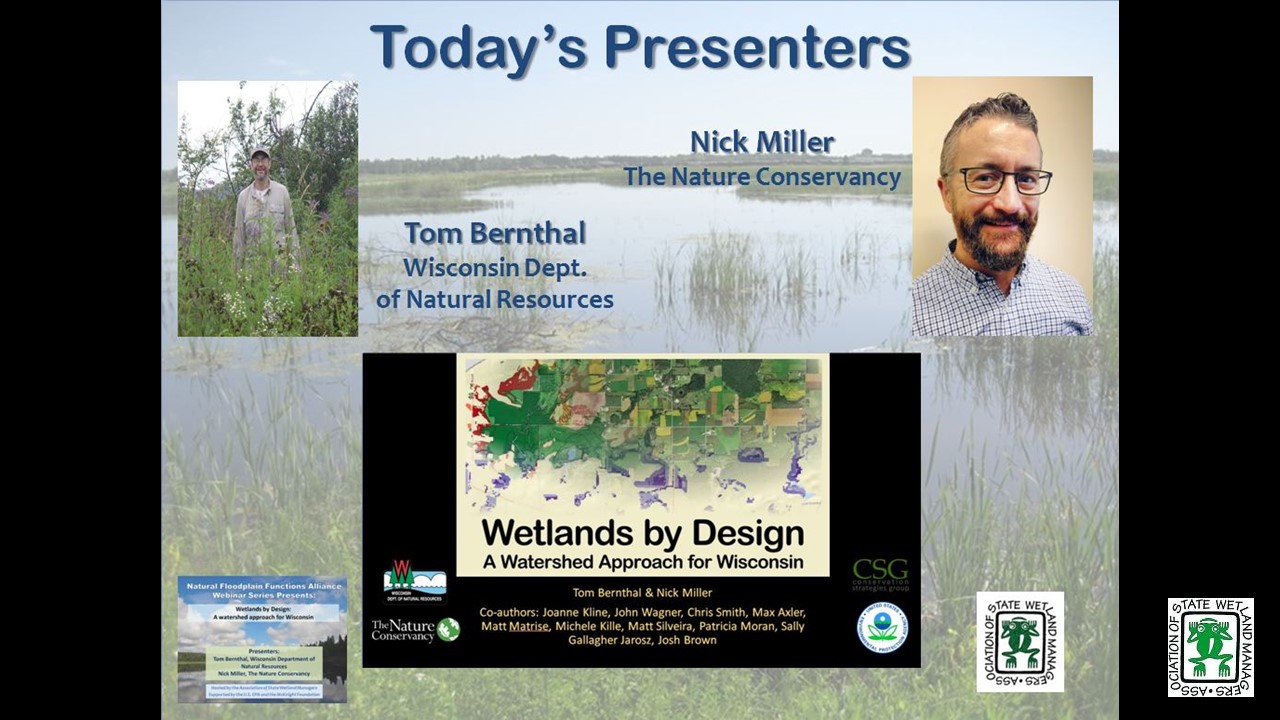
- Tom Bernthal, Wisconsin Department of Natural Resources [PRESENTATION PDF]
- Nick Miller, The Nature Conservancy [PRESENTATION PDF]
ABSTRACT
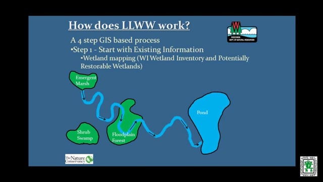
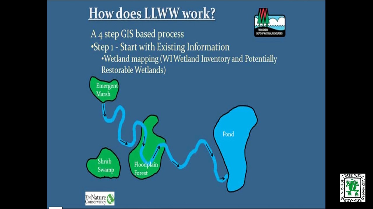
Wisconsin Department of Natural Resources and The Nature Conservancy created a decision support tool that ranks wetland preservation and restoration opportunities for all of Wisconsin’s watersheds based on potential to abate floods, purify water, protect shorelines, maintain streamflow, store carbon, and provide habitat. Wetlands by Design provides a Level 1 GIS analysis, was field validated in the Milwaukee River Basin, and aims to support many users with diverse goals (regulatory/mitigation programs, outdoor enthusiasts, municipalities working to abate floods, etc.). We discussed context and approach, show online mapping tool results, and look forward to a great conversation and feedback.
Please click only once on each video recording to view in this window.
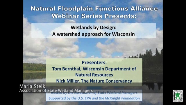
Part 1: Introduction: Marla Stelk, Policy Analyst, Association of State Wetland Managers
Presenter: Nick Miller, The Nature Conservancy
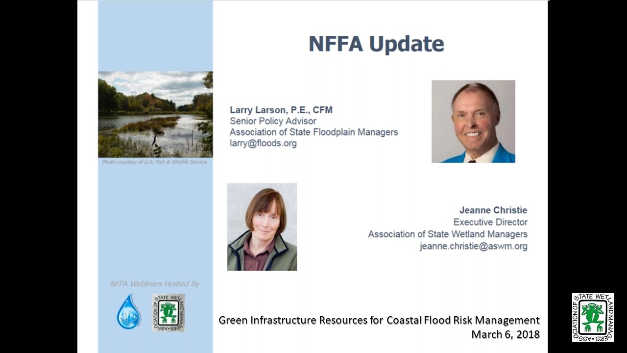
Green Infrastructure Resources for Coastal Flood Risk Management
Held Tuesday, March 6, 2018 - 3:00 p.m. - 4:30 p.m. EST
HOST
Association of State Floodplain Managers
FEDERAL UPDATE
- Larry Larson, Association of State Floodplain Managers
- Jeanne Christie, Association of State Wetland Managers
PRESENTERS [PRESENTATION PDF]
- Maria Honeycutt, Ph.D., NOAA’s Office for Coastal Management
- Lauren Long, The Baldwin Group, NOAA’s Office of Coastal Management
- Tashya Allen, The Baldwin Group, NOAA’s Office of Coastal Management
ABSTRACT
Green infrastructure is gaining popularity as a strategy for protecting communities from coastal hazards, including coastal flooding and erosion. NOAA has developed a suite of products to help coastal managers and planners consider natural approaches to reduce coastal flooding associated with storms and sea level rise and protect coastal ecosystems.
During this webinar, participants learned about resources to help visualize their exposure to coastal flood hazards, explore green infrastructure techniques to reduce impacts, and identify open space to gain credit through FEMA’s Community Rating System. Participants also learned how their peers have tackled coastal flooding challenges using green infrastructure.
Please click only once on each video recording to view in this window.
Green Infrastructure Resources for Coastal Flood Risk Management
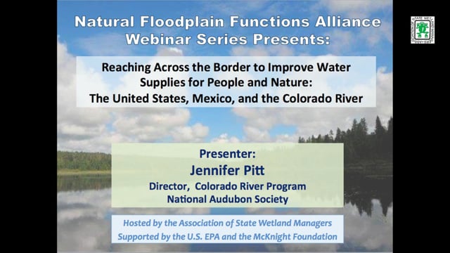
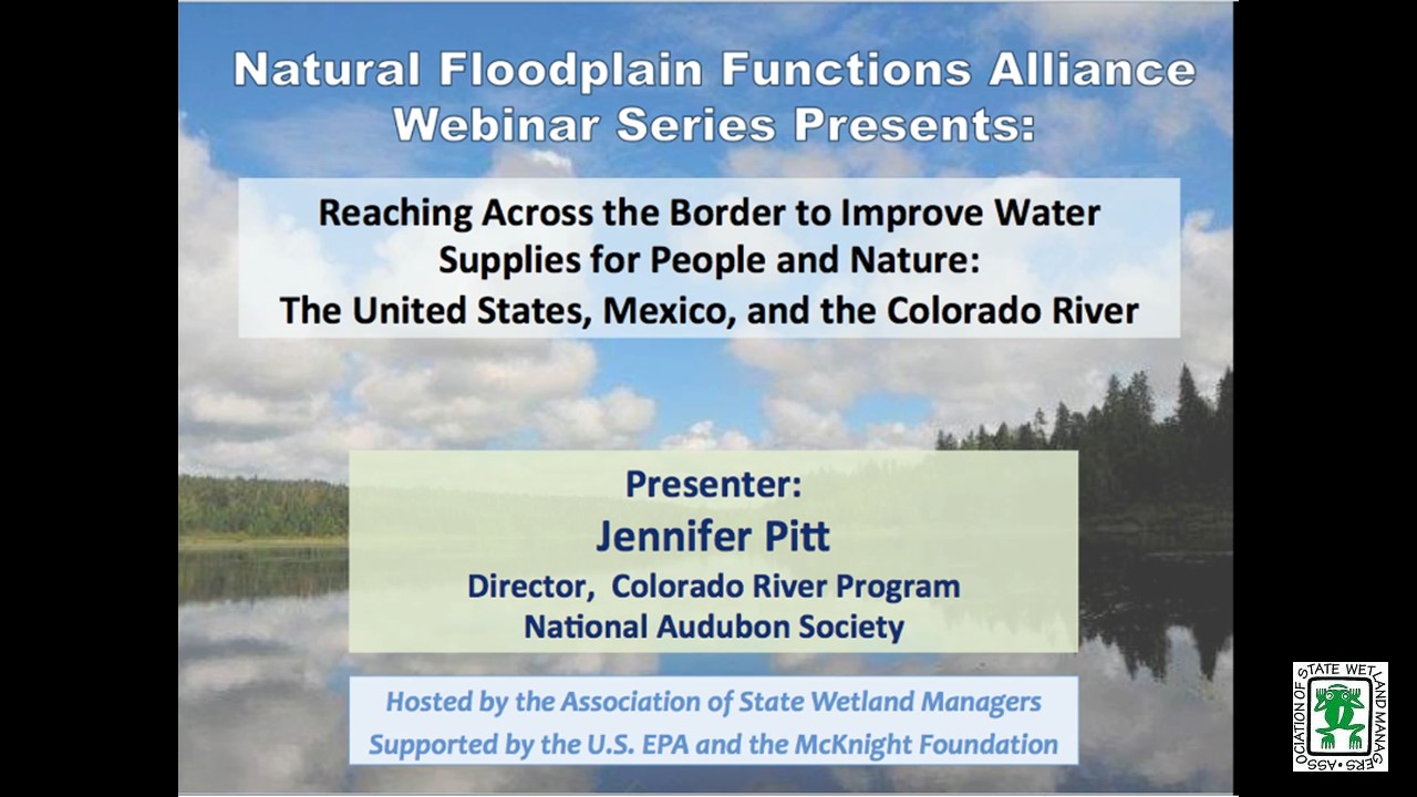
Held Tuesday, January 9, 2018 - 3:00 p.m. Eastern
INTRODUCTION
- Marla Stelk, Policy Analyst, Association of State Wetland Managers [PRESENTATION PDF]
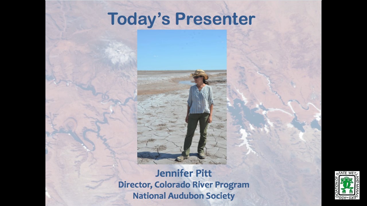
PRESENTER
- Jennifer Pitt, Audubon [PRESENTATION PDF]
ABSTRACT
The Colorado River Delta has long been desiccated, due to over-allocation of water supplies and persistent drought. In a series of recent agreements, the United States and Mexico have begun a collaborative effort with non-governmental organizations to restore water to this ecosystem for the purpose of re-creating riparian and estuarine habitat, in the context of agreements that improve the two countries’ ability to manage a diminishing water supply.
Please click only once on each video recording to view in this window.
Part 1: Introduction: Marla Stelk, Policy Analyst, Association of State Wetland Managers Presenter: Jennifer Pitt, Audubon
View Past Natural Floodplain Functions Alliance Webinars
PDF List of Past Natural Floodplain Functions Alliance Webinar Recordings
Mid-Atlantic Wetlands Workgroup 2023 Annual Meeting:
Sharing Research, Best Practices and Lessons Learned in
Wetland Management
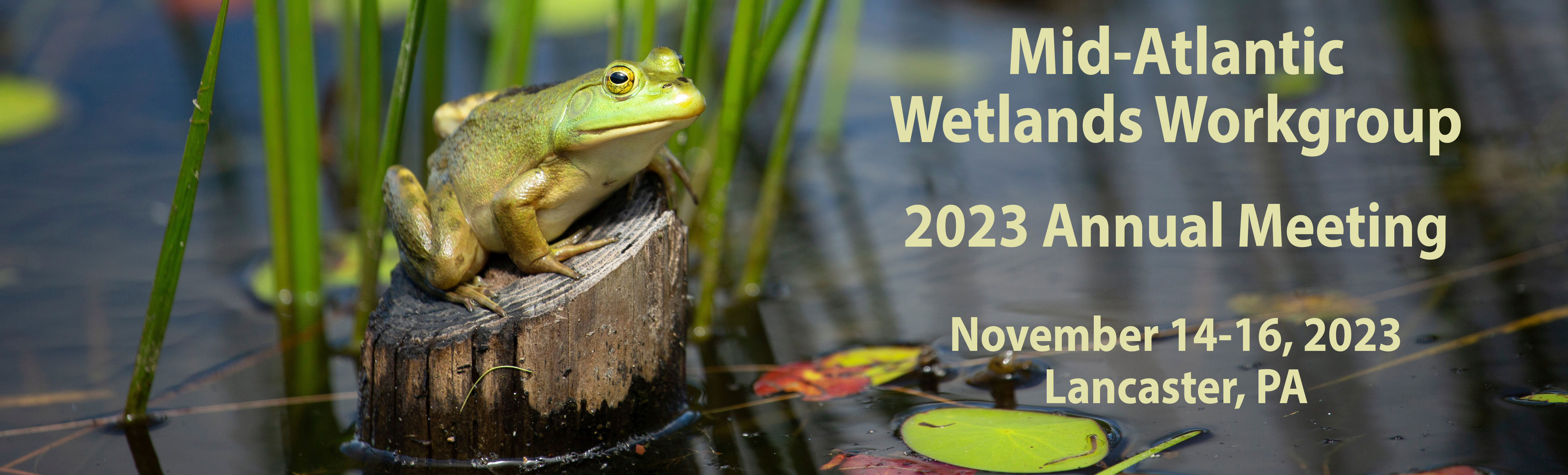
Thank you for joining us for the Mid-Atlantic Wetlands Workgroup’s (MAWWG) 2023 meeting to spur new projects, partnerships, and collaborative efforts to strengthen management of aquatic resources across the region.
Dates
Tuesday, November 14-16, 2023
Location
Lancaster Marriott Penn Square, 25 South Queen Street, Lancaster, PA 17603
Host Organizations
The National Association of Wetland Managers
MAWWG Purpose:
The Mid-Atlantic Wetland Workgroup (MAWWG) facilitates a community of practice among scientists and regulators to improve the quality and quantity of wetlands and inform resource management, including sharing strategies to monitor, assess, conserve and restore tidal and non-tidal wetlands in a scientifically sound and implementable manner with a focus on state, tribal and federal programs.
Agenda
Agenda provided below with links to presentation slides. See Resources below.
| TUESDAY, NOVEMBER 14TH | |
| Day 1 Morning | |
| 8:30am – 8:45am |
Opening Announcements
|
| 8:45am – 10:15am | Introductions and Icebreaker |
|
|
| 10:15am – 10:30am | BREAK |
| 10:30am – 12:00pm | State Share-Outs |
|
|
| Day 1 Afternoon | |
| 1:00pm – 2:30pm | Climate Change, Sea Level Rise, and Coastal Wetlands |
|
|
| 2:30pm – 2:45pm | BREAK | ||||
| 2:45pm – 4:15pm |
Wetland Restoration Targeting Panel
|
||||
| 4:15pm – 4:45pm | Day 1 Debrief | ||||
| WEDNESDAY, NOVEMBER 15th | |||||
| Day 2 Morning | |||||
| 8:30am – 8:45am | Opening Remarks | ||||
|
|||||
| 8:45am – 10:15am |
State Share-Outs
|
|||
| 10:15am – 10:30am | BREAK | |||
| 10:30am – 11:15pm |
Understanding Legacy Sediment Restoration Perspective
|
| Day 2 Afternoon | ||
| 11:30am – 4:15pm | Field Visit
|
|
| 4:15pm – 4:45pm | Day 2 Debrief | |
| THURSDAY, NOVEMBER 16TH | ||
| Day 3 Morning | ||
| 8:30am – 8:45am | Recap and Announcements | |
| 8:45am – 10:15am | Wetland Mapping, Monitoring, and Metric | |
|
||
| 10:15am – 10:30am | BREAK | |
| 10:30am – 12:00pm |
Common Metrics and Closing Discussion
|
|
More Than Dirt: Soil Health Needs to Be Emphasized in Stream and Floodplain Restorations
Natural Streams and the Legacy of Water-Powered Mills
Contact Information
Agenda
Ian Grosfelt
Environmental Analyst
National Association of Wetland Managers
(207) 892-3399; ian@nawm.org
Marla Stelk, Executive Director
National Association of Wetland Managers
(207) 892-3399; marla@nawm.org
General Information
Laura Burchill, Office Manager
National Association of Wetland Managers
500 Washington Avenue, Suite 201
Portland, ME 04103
(207) 892-3399; Fax: (207) 894-7992
laura@nawm.org
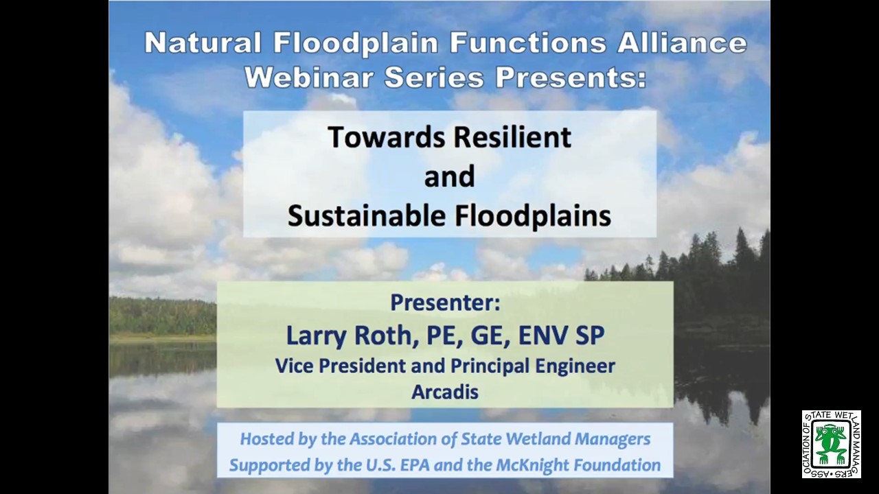
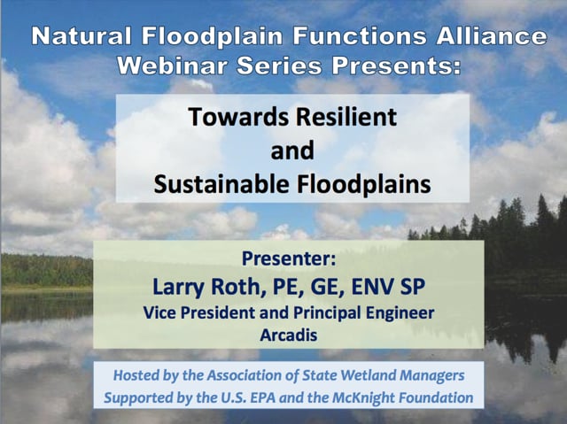
Towards Resilient and Sustainable Floodplains
Held Tuesday, December 19, 2017 - 3:00 p.m. Eastern
![]()
INTRODUCTION
- Marla Stelk, Policy Analyst, Association of State Wetland Managers [PRESENTATION PDF]
PRESENTER
- Larry Roth, Arcadis [PRESENTATION PDF]
ABSTRACT
People like to live and work near water. When that means occupying the floodplains of rivers and streams, they accept flood risk as the price for the benefits that being near water brings. Too often, however, they fail to understand or appreciate what the threat of flooding means. In the past century, the dominant strategy for reducing the risk of riverine flooding is building levees. This strategy, which has resulted in nearly 30,000 miles of levees bordering our rivers and streams, is neither resilient nor sustainable, especially considering climate change. Levee systems choke floodplains, stifle natural processes, and damage the ecosystem. Levees also create a false sense of security and stimulate development behind them putting even more people, property, and infrastructure at risk. This recognition has led the Dutch to adopt “make room for the rivers,” a strategy designed to improve resiliency and sustainability by moving people and property out of harm’s way and returning natural functions to floodplains. The Dutch flood risk reduction strategy is not new; the Chinese implemented it in the Chengdu Plain over 2,000 years ago.
Flood risk management and levee design over the past century has focused on level-of-protection (LOP); for example, there has been widespread use of the one-percent LOP methodology, which is the basis of the National Flood Insurance Program. A major limitation of LOP methodology, however, is that risk is not quantified because consequences are not considered. When risk is not quantified, we cannot measure cost-effectiveness of options to reduce risk, and we too often make decisions regarding flood risk reduction based on judgment and stakeholder preferences, not on considerations of resilience and sustainability, and not on efficient use of resources. When we quantify flood risk using probability and consequences, we can also quantify risk reduction afforded by structural options (e.g., levees) as well as non-structural means, which enables consideration of solutions that are more resilient and sustainable.
LOP methodology ignores residual risk; as risk cannot be eliminated, tolerable risk guidelines (TRG) can be effective in quantifying the residual risk that society may be willing to accept to receive certain benefits, for example living near water. An improved understanding of risk supports policy formulation, informs risk management decisions, enables evaluation of trade-offs, promotes transparent risk communications, and opens the door for resilient and sustainable flood risk reduction. TRG is also useful in allocating scarce resources, achieving equity, and promoting efficiency. History as shown that use of LOP tends to favor levees over non-structural risk reduction measures, and too often evaluation of non-structural measures is performed to “check the box” rather than to search for more efficient means. Using TRG, we can measure the cost effectiveness of non-structural mitigation and application of strategies to take advantage of natural floodplain functions. TRG enables us to monetize risk reduction benefits for the triple bottom line – social, environmental, and financial – leading to more resilient and sustainable flood risk reduction systems. Part 1: Introduction: Marla Stelk, Policy Analyst, Association of State Wetland Managers
Please click only once on each video recording to view in this window.
![]()
Presenter: Larry Roth, Arcadis![]()
![]()

![]()
![]()

Minnesota’s Overall and Watershed Approach to Flood Risk Reduction & Protection of Lakes & Streams
Held Thursday, November 30, 2017 3:00 p.m.–4:30 p.m. Eastern
![]()
HOST
Association of State Floodplain Managers
PRESENTER
- Ceil Strauss, State Floodplain Manager, Minnesota Department of Natural Resource [PRESENTATION PDF]
ABSTRACT
Minnesota has had a multi-faceted approach to reducing the risk of flood damage. Preservation of open spaces, higher regulatory standards, active watershed districts and a partnership of state and local funding for flood risk reduction projects mitigation projects has helped Minnesotans to reduce and avoid flood damages. Minnesota is also investing heavily in clean water, with funds generated by a constitutional amendment that dedicates sales tax to the effort. Minnesota's Watershed Approach framework has evolved from this opportunity to efficiently address waterbody restoration (TMDLs) and protection. Statewide efforts, like the governor's buffer law and water summit, and “One Watershed One Plan” pilots, also play a key role in achieving clean water goals. Still, widespread changes in the status quo of land and water management are needed for Minnesota to achieve success. Minnesota’s Overall and Watershed Approach to Flood Risk Reduction & Protection of Lakes & Streams
Please click only once on each video recording to view in this window.
![]()
![]()
![]()
![]()
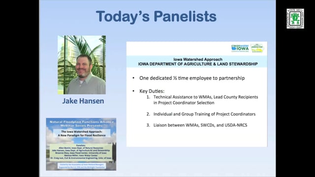
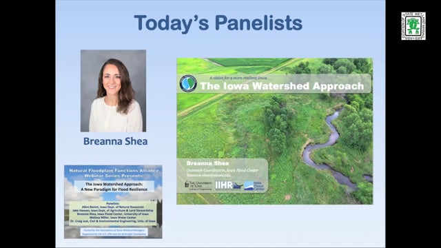
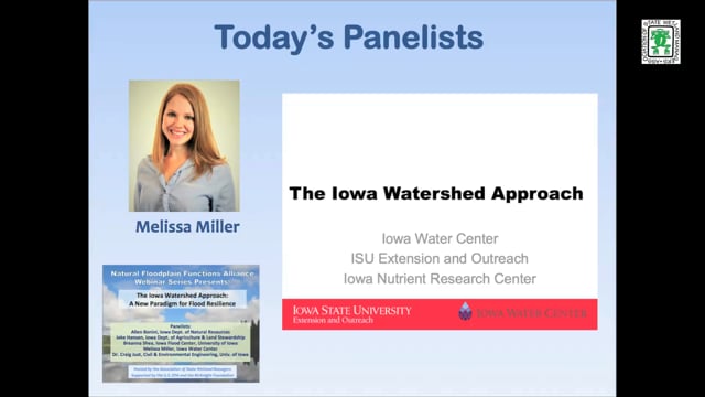
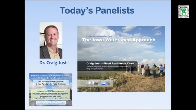
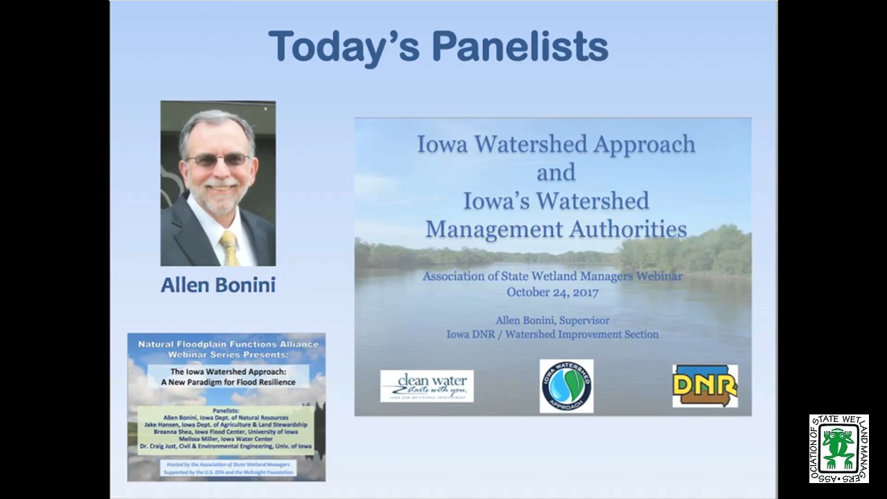
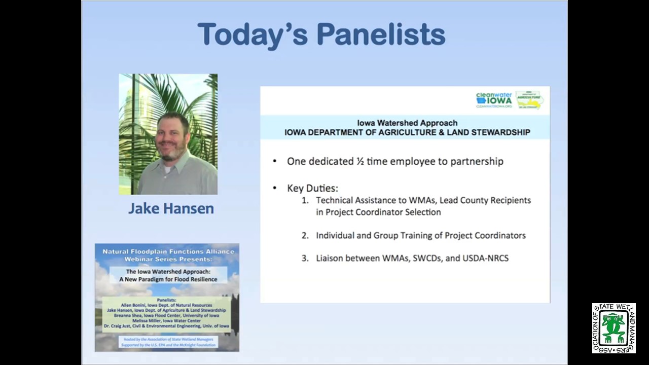
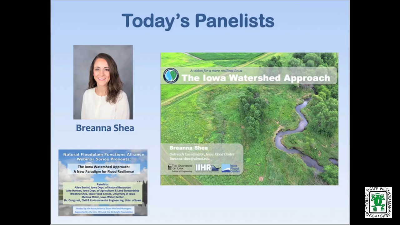
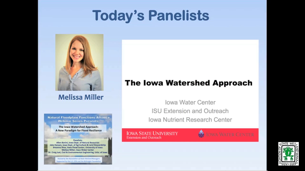
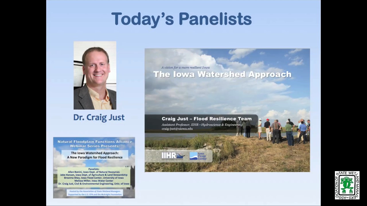
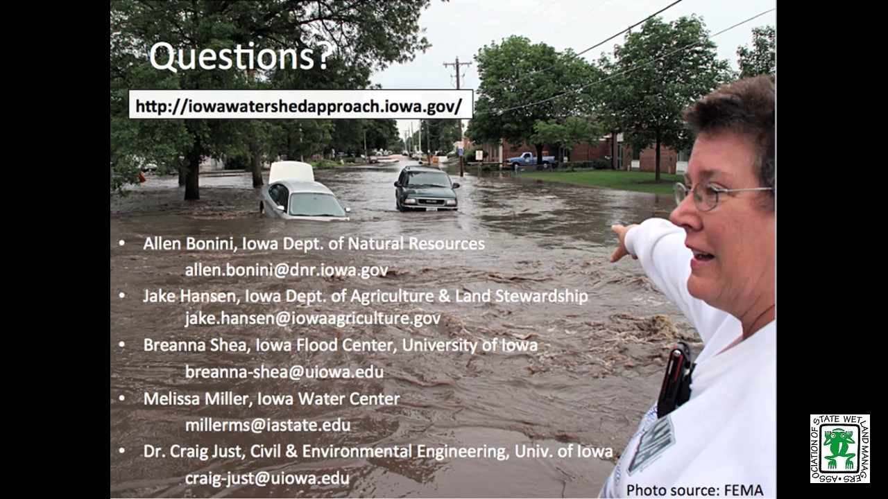
The Iowa Watershed Approach: A New Paradigm for Flood Resilience
 Held Tuesday, October 24, 2017 - 3:00 p.m. Eastern
![]()
INTRODUCTION
- Marla Stelk, Policy Analyst, Association of State Wetland Managers
[PRESENTATION-PDF]
PRESENTERS
- Allen Bonini, Iowa Department of Natural Resources
[PRESENTATION PDF] - Dr. Craig Just, University of Iowa
[PRESENTATION PDF] - Melissa Miller, Iowa Water Center
[PRESENTATION PDF] - Breanna Shea, Iowa Flood Center, University of Iowa
[PRESENTATION PDF] - Jake Hansen, Iowa Department of Agriculture and Land Stewardship- Division of Soil Conservation and Water Quality
[PRESENTATION PDF] - Jessica Turba, Disaster Recovery Operations Bureau of Iowa Homeland Security and Emergency Management
ABSTRACT
From 2011-2013, Iowa suffered eight Presidential Disaster Declarations, encompassing 73 counties and more than 70% of the state. Devastating as these events were, 2011-2013 do not represent Iowa’s worst flood years. Long-term data show that heavy precipitation and flooding events are increasing in frequency across the Midwest. Under these circumstances, a new paradigm for flood resilience is needed—one that decreases flood risk, improves water quality, and increases community flood resilience.
The Iowa Watershed Approach (IWA) is a watershed –scale program based on a holistic approach recognizing that 1) heavy precipitation and flooding events are increasing in frequency; 2) upstream activities impact downstream communities; 3) upstream and downstream communities need to voluntarily work together; 4) when possible, flooding should be addressed at its source, using science-based, reasonable, cost-effective practices; 5) improving community resilience to floods requires risk mitigation and community directed initiatives and planning; and 6) program strategies must also respect, protect, and sustain Iowa’s valuable agricultural economy, which provides food, fuel, and fiber for the world and sustains family incomes for many Iowans.
The IWA panelists discussed the program objectives, their specific role in the process, and the progress made in the first year of implementation.
Please click only once on each video recording to view in this window.
Part 1: Introduction: Marla Stelk, Policy Analyst, Association of State Wetland Managers


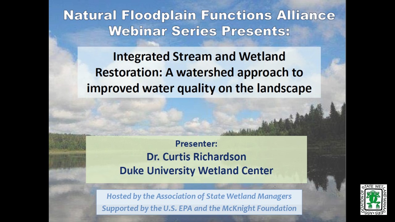
Integrated Stream and Wetland Restoration: A watershed approach to improved water quality on the landscape
Held July 25, 2017 - 3:00 p.m. ET![]()
INTRODUCTION
- Marla Stelk, Policy Analyst, Association of State Wetland Managers [PRESENTATION PDF]
PRESENTER
Dr. Curtis Richardson, Duke University Wetland Center [PRESENTATION PDF]
ABSTRACT
ABSTRACT
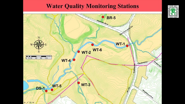
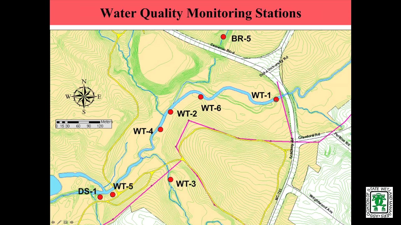
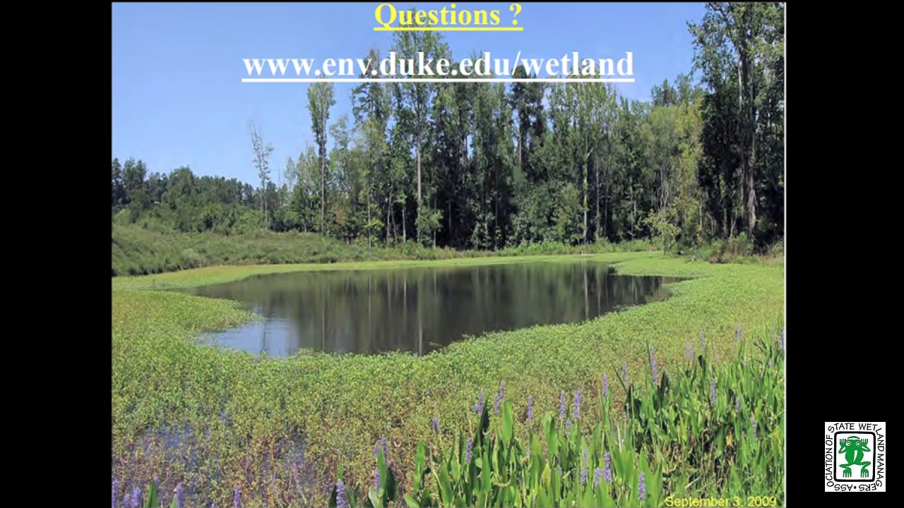
The Stream and Wetland Assessment Management Park (SWAMP)—a project of the Duke University Wetland Center—created over five acres of bottomland wetland floodplain and restored over 6,000 feet of degraded streambed near Duke’s West Campus. The University and government sponsors worked together on the project to improve regional water quality. SWAMP is a model system for nutrient and sediment retention, resulting in the University receiving nutrient credits from the City of Durham, North Carolina. Scientists from around the country study aspects of integrated stream and wetland restoration at SWAMP, and over 500 students each year use the site for classroom and research purposes.
Please click only once on each video recording to view in this window.
Part 1: Marla Stelk, Policy Analyst, Association of State Wetland Managers
Presenter: Dr. Curtis Richardson, Duke University Wetland Center
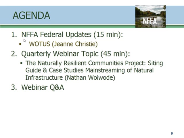
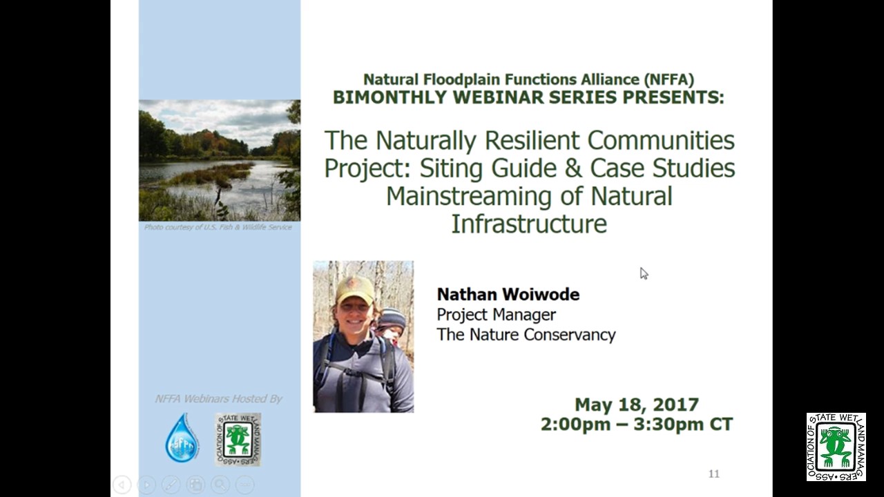
The Naturally Resilient Communities Project: Siting Guide and Case Studies Mainstreaming of Natural Infrastructure to Address Coastal and Riverine Flooding
Held Thursday, May 18, 2017 - 3:00 p.m.ET
HOST
Association of State Floodplain Managers
PRESENTER [PRESENTATION PDF]
- Nathan Woiwode, Risk Reduction and Resilience Project Manager, The Nature Conservancy
ABSTRACT
Naturally Resilient Communities is a partnership of county governments, professional engineers, community planners, floodplain managers and conservationists who work with communities to improve their quality of life and economies. Supported by the Kresge Foundation, the effort includes the National Association of Counties, the American Planning Association, the Association of State Floodplain Managers, the American Society of Civil Engineers, Sasaki Associates, and The Nature Conservancy.
Drawing from thirty nature-based flood and erosion control strategies and a growing body of case studies, the guide, which can be accessed at www.nrcsolutions.org, is designed to help municipal leaders and their staff in communities across the country identify potential solutions that could address their specific flooding concerns. Webex participants will learn about:
1. The origins and purpose of the Naturally Resilient Community project.
2. The strategy typology and how and why it was developed
3. Select case studies
4. A tour of the interactive siting guide.
Please click only once on each video recording to view in this window.
Presenters: Jeanne Christie, Association of State Wetland Managers and Nathan Woiwode, Risk Reduction and Resilience Project Manager, The Nature Conservancy
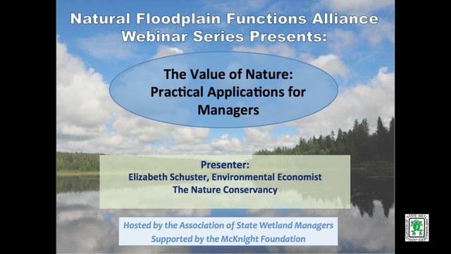
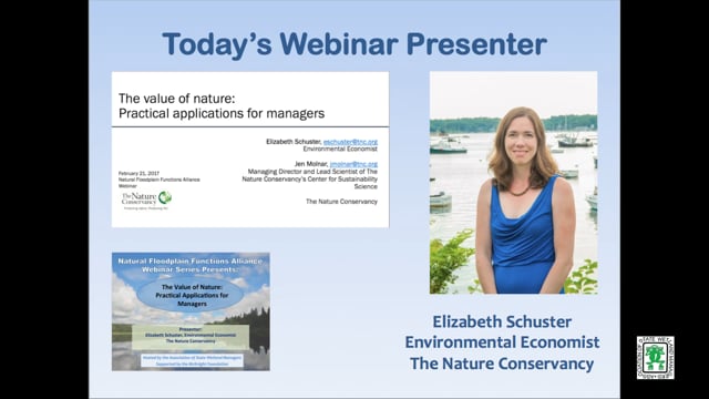
The Value of Nature: Practical Applications for Managers
Held Tuesday, February 21, 2017 - 3:00 p.m. EST
![]()
INTRODUCTION
Marla Stelk, Policy Analyst, Association of State Wetland Managers and Jeanne Christie, Association of State Wetland Managers [PRESENTATION PDF]
PRESENTER
- Elizabeth Schuster, Environmental Economist, The Nature Conservancy [PRESENTATION PDF]
ABSTRACT
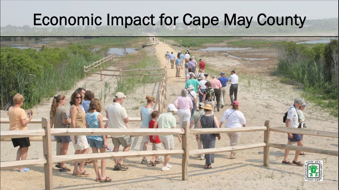
Coastal and freshwater systems – especially floodplains and wetlands - provide tangible economic value to communities, yet managers often do not incorporate the value of nature into decision making. This presentation has three components: 1) An overview of The Nature Conservancy (TNC) and partners’ guidebook, A guide for incorporating ecosystem service valuation into coastal restoration projects, 2) Practical examples of ecosystem service valuation from the field, 3) An introduction to the ESII tool to assess the value of nature in decision making, developed through a collaboration between TNC and Dow Chemical Company.
Please click only once on each video recording to view in this window.
Part 1: Marla Stelk, Policy Analyst, ASWM and Jeanne Christie, ASWM
Presenter: Elizabeth Schuster, Environmental Economist, The Nature Conservancy


View Past Natural Floodplain Functions Alliance Webinars
PDF List of Past Natural Floodplain Functions Alliance Webinar Recordings
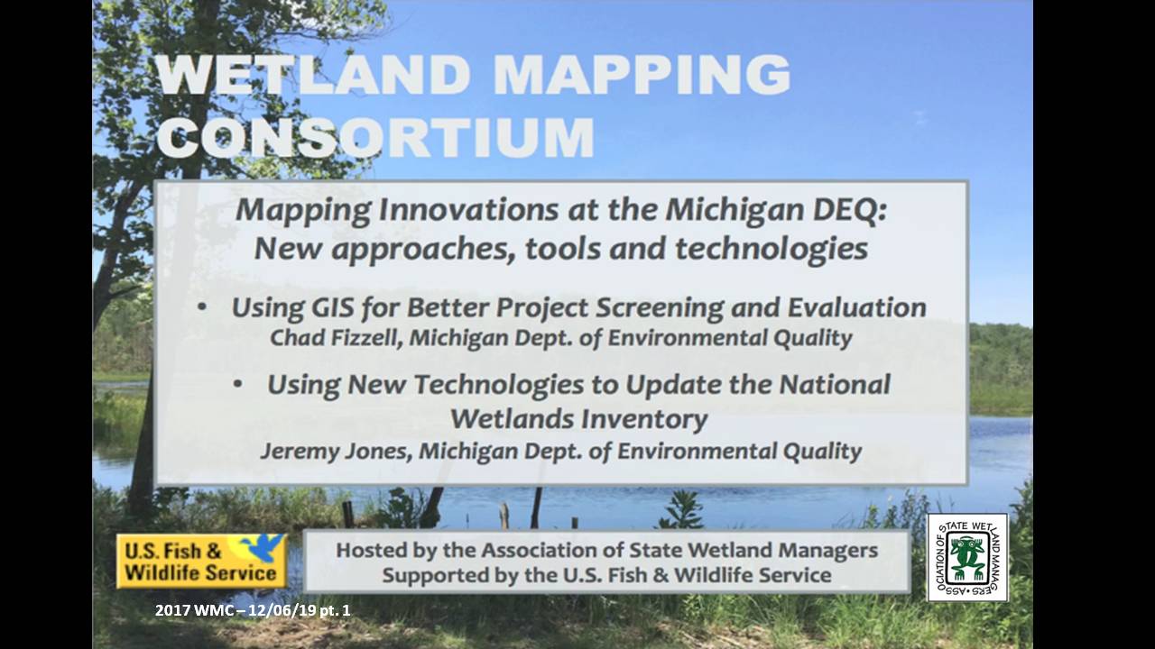
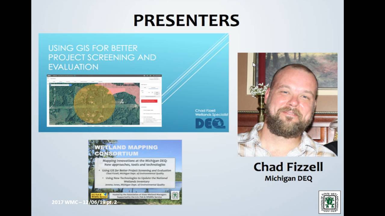
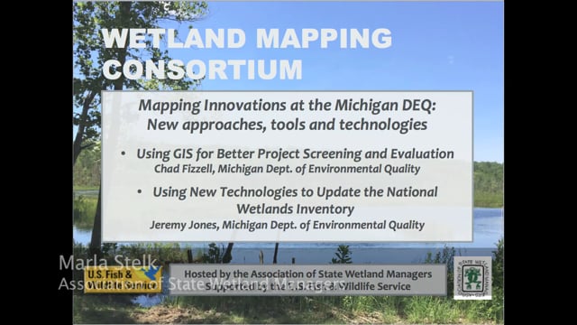
Mapping Innovations at the Michigan DEQ: New approaches, tools and technologies
Held Wednesday, December 6, 2017 - 3:00 p.m. Eastern
INTRODUCTION
- Marla Stelk, Policy Analyst, Association of State Wetland Managers [PRESENTATION PDF]
PRESENTERS
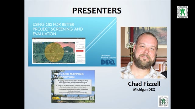
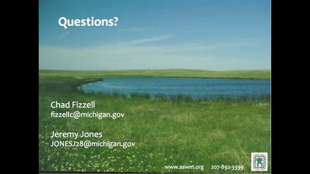
- Chad Fizzell, Michigan Department of Environmental Quality [PRESENTATION PDF]
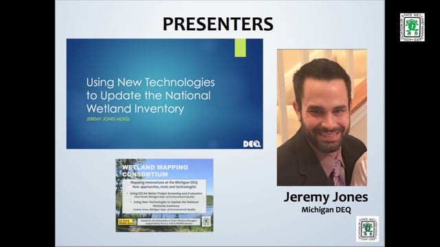
- Jeremy Jones, Michigan Department of Environmental Quality [PRESENTATION PDF]
ABSTRACTS
Chad Fizzell
Using GIS for Better Project Screening and Evaluation
With the release of MiWaters, Water Resources Division staff from the MDEQ are now relying on a GIS based screening tool to ensure coordination with all relevant state and federal partners and programs. This talk addressed the methodology, GIS layers utilized, and overall approach to screening projects spatially, introduced as part of the MIWaters rollout.
Jeremy Jones
Using New Technologies to Update the National Wetland Inventory
This portion of the webinar focused on the pilot project completed in conjunction with Ducks Unlimited. This pilot project utilized a semi-automated, object-based image analysis and segmentation process combined with head-up digitization and photo interpretation to produce an updated National Wetlands Inventory (NWI) for Kent and Washtenaw Counties in Michigan. This process utilizes high resolution 4-band imagery, high resolution lidar, and other ancillary datasets to create the new polygon areas.
BIOS
 Chad Fizzell works as a GIS Specialist in the Wetlands, Lakes, and Streams Unit within the Michigan Department of Environmental Quality. Chad has a degree in Environmental Science from Michigan State University, where he specialized in Spatial Information Processing. Chad has worked in the Wetlands program for 15 years and is the Department expert in the Landscape Level Assessment of Wetlands, Wetland Inventory, and Remote Sensing. Chad was also the lead in developing and adapting the NWI+ methodology and Landscape Level Wetland Functional Assessment process in Michigan and applying these concepts to watershed management in the State.
 Jeremy Jones has worked with geospatial technologies since 2006 and holds a Master’s Degree from Eastern Michigan University in Geographic Information Systems. As an employee for the Michigan Department of Environmental Quality Jeremy works on various projects including Enhanced NWI, coastal zone projects, enforcement cases, conservation easements and various aerial photo interpretation requests. Jeremy has worked with the National Wetland Inventory Data for over 10 years and is excited to share the improvements made to the data using the improved technologies available today.
Please click only once on each video recording to view in this window.
Part 1: Introduction: Marl Stelk, Policy Analyst, Association of State Wetland Managers
![]()
![]()
![]()
![]()
![]()
![]()
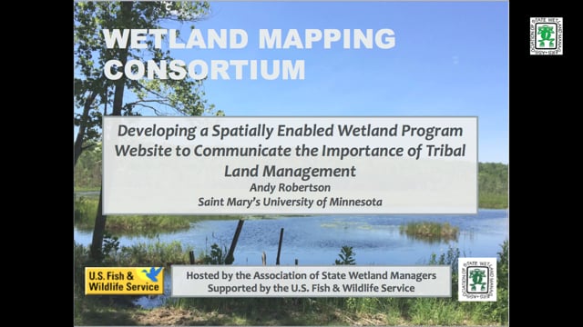
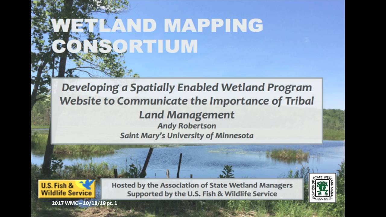
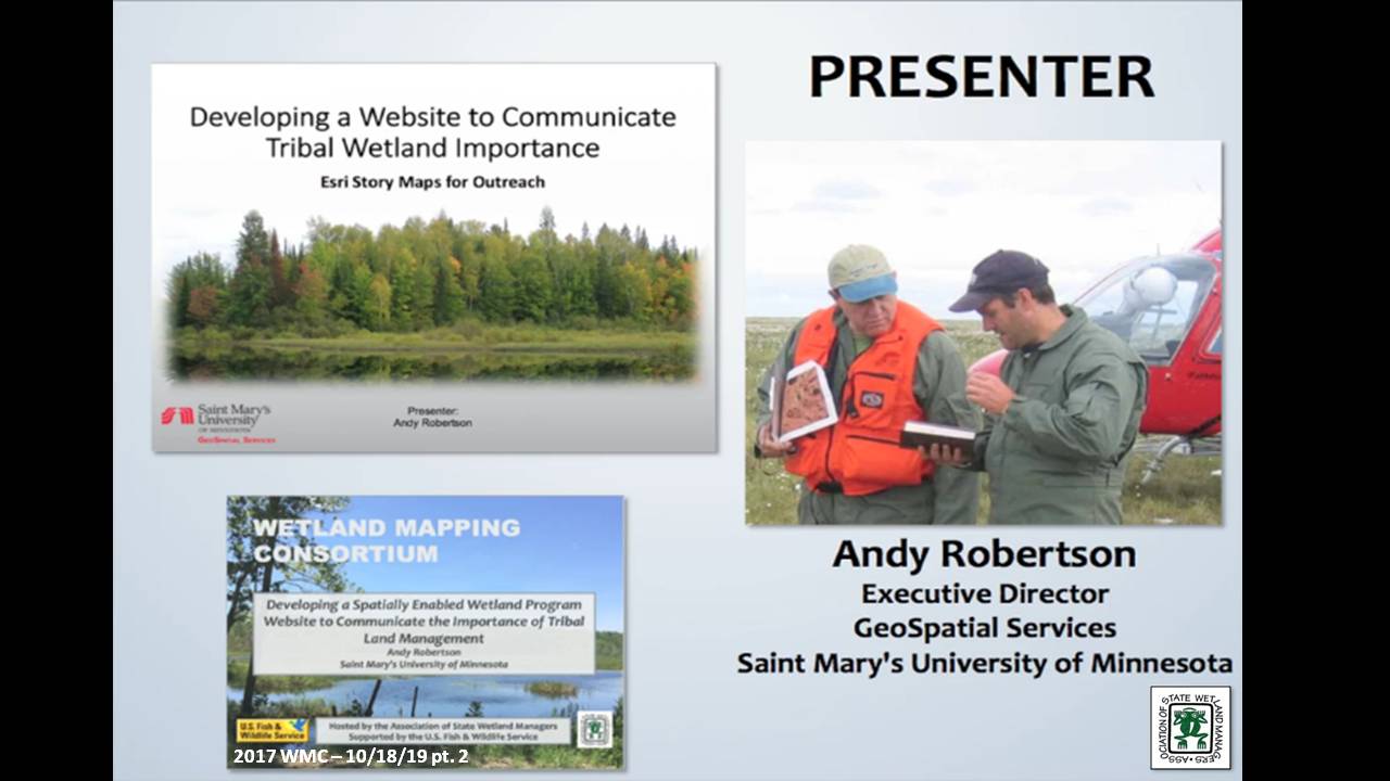
Developing a Spatially Enabled Wetland Program Website to Communicate the Importance of Tribal Land Management
Held Wednesday, October 18, 2017 - 3:00 p.m. Eastern
INTRODUCTION
- Marla Stelk, Policy Analyst, Association of State Wetland Managers[PRESENTATION PDF]
PRESENTER
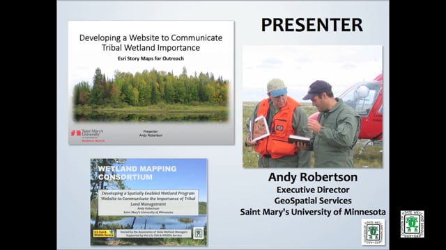
- Andy Robertson, Executive Director, GeoSpatial Services, Saint Mary's University of Minnesota [PRESENTATION PDF]
ABSTRACT
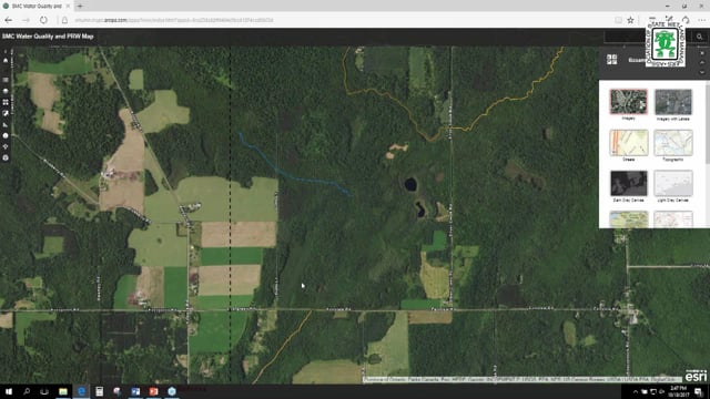
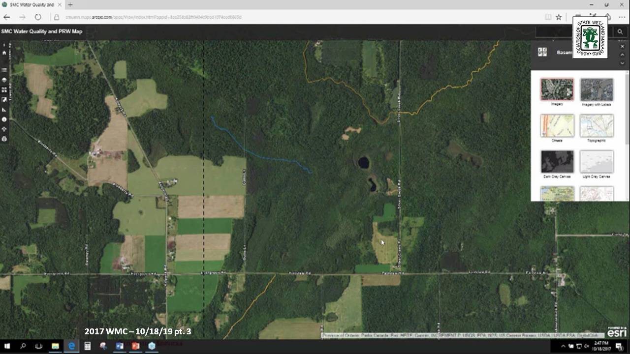
The Stockbridge-Munsee Mohican Community in Wisconsin is in the process of creating a web presence to share wetland program accomplishments and allow stakeholders and the public access to local wetland GIS data. A website with interactive map functions is being developed to communicate the wetland program’s goals, progress, and demonstration projects and provide interactive use and visualization of wetland and summary water quality data, educating tribal members and the public on the importance of wetlands. Once fully functional, this website will also be used to communicate water quality reporting data to EPA for ongoing monitoring. Technologies in use for this project include: ArcGIS Server, ESRI Story Maps, ArcGIS Online, ArcGIS Portal and ArcGIS Enterprise.
BIO
 Andy Robertson is currently Executive Director of GeoSpatial Services at Saint Mary’s University of Minnesota. In this role, Andy is responsible for oversight and management of all GeoSpatial Services projects, activities and staff. GeoSpatial Services is engaged in a wide variety of projects across the Lower 48 and Alaska including: wetland inventory; National Hydrography Dataset updates; spatial data development; and, natural resource condition assessments. Andy earned a Forest Technology Diploma from Sault College of Applied Technology in Ontario, Canada, a B.Sc. in Environmental Science from the University of Waterloo and completed postgraduate work in forest management at the University of Toronto. GeoSpatial Services has been a key partner of the USFWS and has been working for over 15 years to update legacy National Wetland Inventory data across the nation. Andy is a steering committee member for the ASWM Wetland Mapping Consortium and is co-chair of the Alaska GeoSpatial Council Wetland Technical Working Group.
Please click only once on each video recording to view in this window.
Part 1: Introduction: Marl Stelk, Policy Analyst, Association of State Wetland Managers
Presenter: Andy Robertson, Executive Director, GeoSpatial Services, Saint Mary's University of Minnesota
![]()
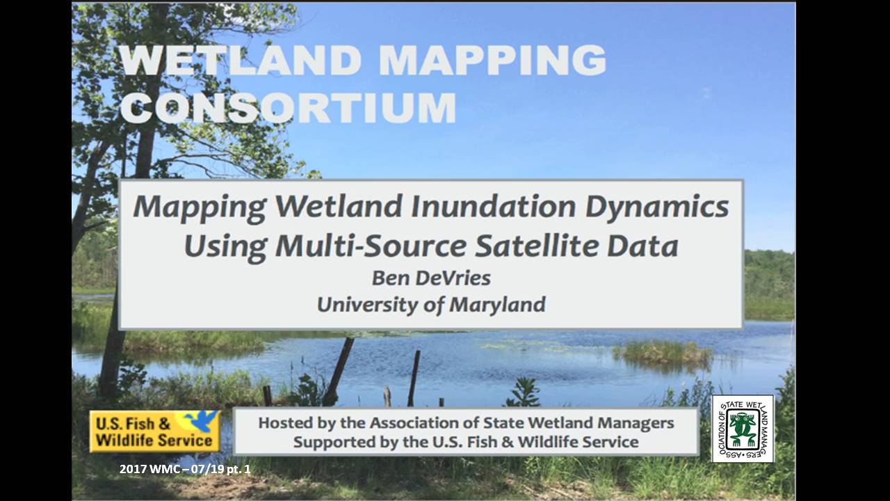
Mapping Wetland Inundation Dynamics Using Multi-Source Satellite Data
Held Wednesday, July 19, 2017 - 3 pm ET
INTRODUCTION
- Marla Stelk, Policy Analyst, Association of State Wetland Managers [PRESENTATION PDF]
PRESENTER
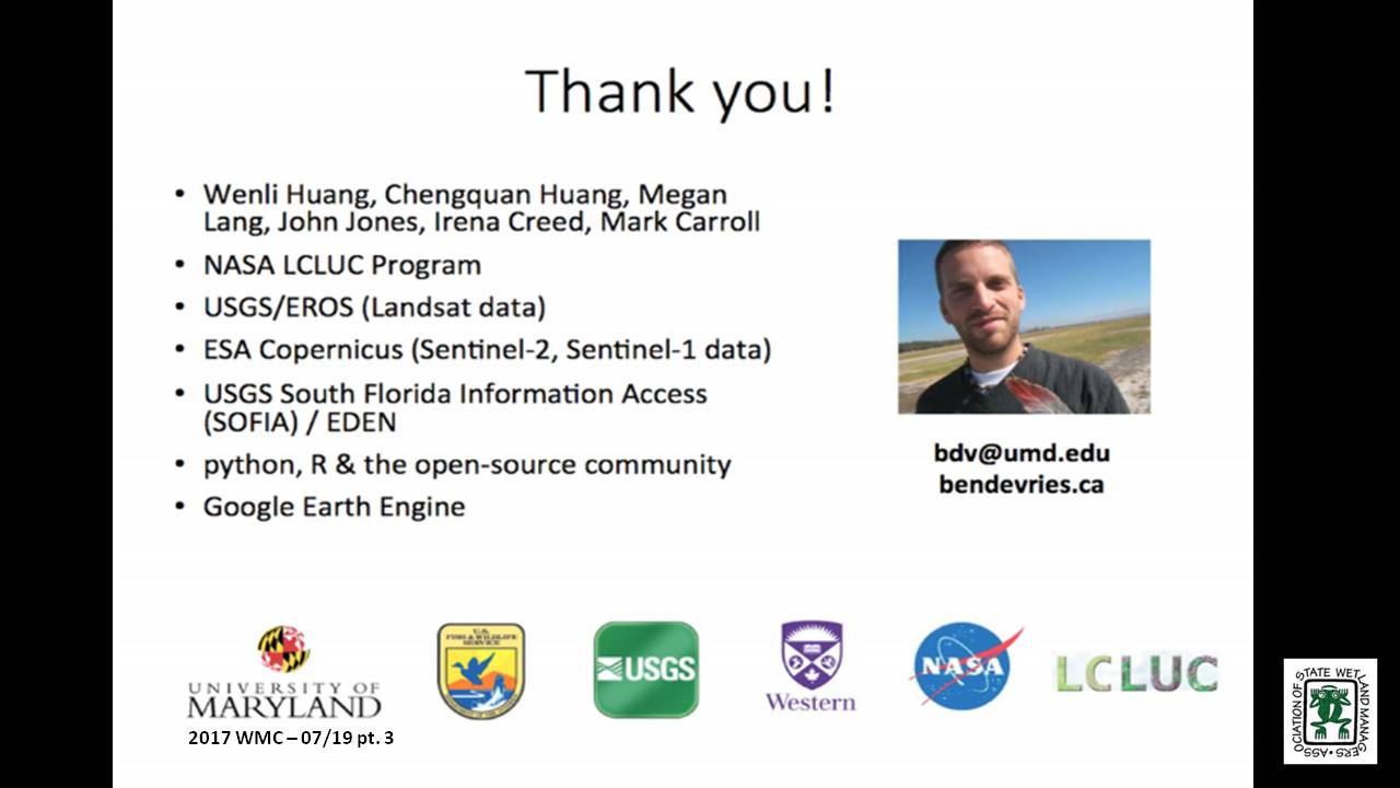
- Ben DeVries, Post-Doctoral Research Associate, Department of Geographical Sciences, University of Maryland [PRESENTATION PDF]
ABSTRACT
While the increasing availability of Earth observation has led to impressive advances in automated land cover mapping algorithms and products, wetlands often remain insufficiently or inconsistently represented in land cover products. On the other hand, while wetland inventories are able to provide significantly more thematic detail than general land cover products, their production usually relies on highly manual, static and expensive mapping methods. Surface inundation in wetlands is particularly difficult to quantify, given the complexity of the mixed water-vegetation-soil reflectance signatures as well as the highly dynamic nature of inundation in most wetland ecosystems. Optical data, such as those from the Landsat and Sentinel-2 satellite constellations, have been shown to be capable of detecting surface inundation at medium spatial resolution (~30m), allowing for the mapping of long-term trends. On the other hand, radar data are increasingly used to track surface inundation at regular time intervals, owing to the ability of radar energy to penetrate clouds. Despite these advantages, the temporal resolution of any single satellite sensor is often insufficient to adequately monitor surface inundation in wetlands, given the dynamic and often ephemeral nature of surface hydrology. New mapping approaches based on the fusion of optical and radar data streams shows promise in establishing regular fine-temporal-resolution records of wetland inundation. Multi-source data products related to wetland inundation are expected to support the ongoing development and updating of national and regional wetland inventories, support greenhouse gas modelling studies and the identification and quantification of wetland ecosystems.
BIO
 Ben DeVries is a Post-Doctoral Research Associate at the Department of Geographical Sciences, University of Maryland. He has a background in Remote Sensing and is currently developing algorithms for detecting and quantifying surface water inundation at fine spatial and temporal resolutions using multi-source satellite data. Ben earned his Ph.D. at Wageningen University in the Netherlands, where he studied forest dynamics in the tropics and developed novel methods using temporally dense Landsat time series data. He also earned his M.Sc. at Wageningen University, focussing on the role of surface and sub-surface hydrology on carbon emissions in degraded tropical peatlands.
Please click only once on each video recording to view in this window.
Part 1: Introduction: Marl Stelk, Policy Analyst, Association of State Wetland Managers
![]()
Presenter: Ben DeVries, Post-Doctoral Research Associate, Department of Geographical Sciences, University of Maryland![]()
![]()
![]()
![]()

![]()
Wetland Mapping Consortium Workshop Webinars
The Wetland Mapping Consortium concurrent session below were held at the Association of State Wetland Managers annual meeting on April 12th.
Moving Wetland Restoration into Recommendations into Action: New Mapping/Monitoring Program Tends
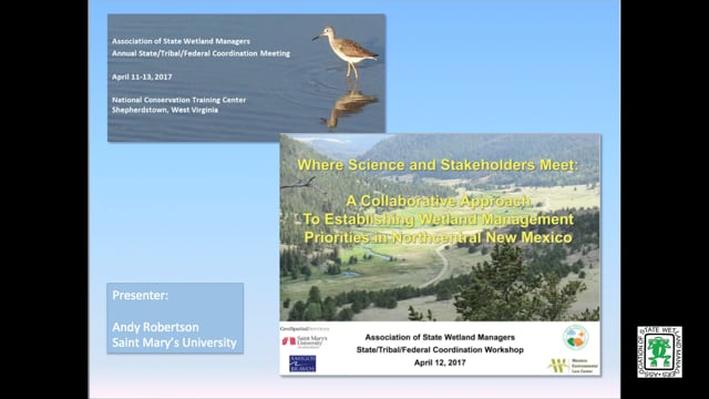
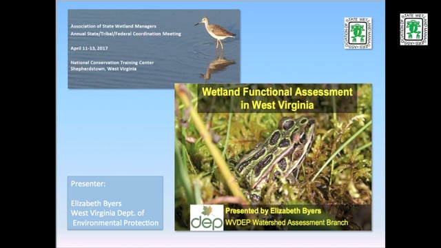
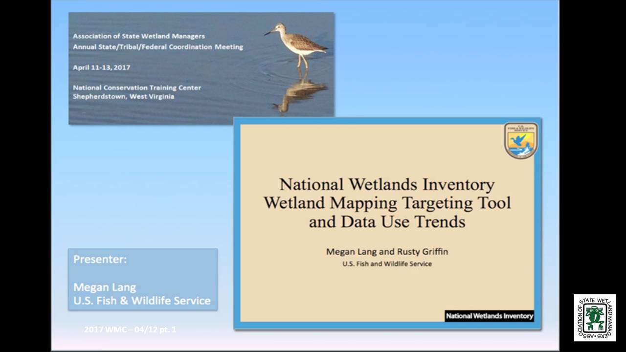
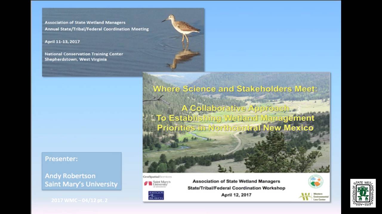
Held Wednesday, April 12, 2017
PRESENTERS
- National Wetlands Inventory Wetland Mapping Targeting Tool and Data Use Trends - Megan Lang, U.S. Fish and Wildlife Service
- A Collaborative Approach to Establishing Wetland Management Priorities in Northcentral New Mexico - Andy Robertson, Saint Mary's University
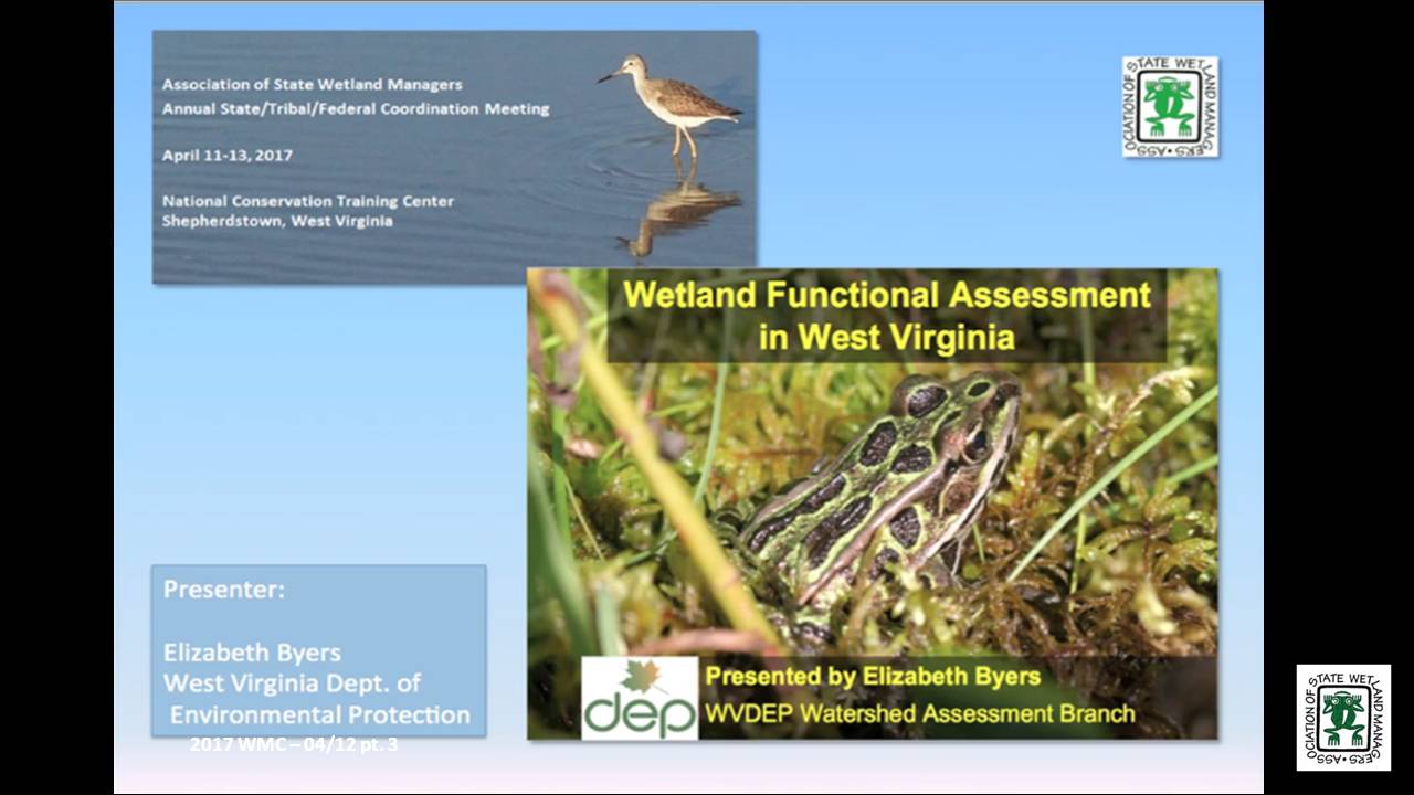
- Wetland Functional Assessment in West Virginia - Elizabeth Byers, West Virginia Department of Environmental Protection
BIOS
Megan Lang is Chief Scientist for the U.S. Fish and Wildlife Service National Wetland Inventory Program and Project Lead for the Service’s Wetlands Status and Trends effort. Dr. Lang is an adjunct professor at the University of Maryland Department of Geographical Sciences and the Virginia Tech Department of Crop and Soil Environmental Sciences. She earned her undergraduate degree from the College of Charleston Departments of Geology and Biology, and her graduate degrees from the University of Maryland Department of Geographical Sciences. She serves as an Associate Editor for the journal Wetlands, and has published over 50 scientific articles and book chapters. Dr. Lang has been working to improve the assessment of aquatic ecosystems through field and remote sensing studies for over two decades. Before working for the U.S. Fish and Wildlife Service, Dr. Lang led the U.S. Department of Agricultural Mid-Atlantic Regional Wetland Conservation Effects Assessment Project.
Andy Robertson is currently Executive Director of GeoSpatial Services at Saint Mary’s University of Minnesota. In this role, Andy is responsible for oversight and management of all GeoSpatial Services projects, activities and staff. GeoSpatial Services is engaged in a wide variety of projects across the Lower 48 and Alaska including: wetland inventory; National Hydrography Dataset updates; spatial data development; and, natural resource condition assessments. Andy earned a Forest Technology Diploma from Sault College of Applied Technology in Ontario, Canada, a B.Sc. in Environmental Science from the University of Waterloo and completed postgraduate work in forest management at the University of Toronto. GeoSpatial Services has been a key partner of the USFWS and has been working for over 15 years to update legacy National Wetland Inventory data across the nation. Andy is a steering committee member for the ASWM Wetland Mapping Consortium and is co-chair of the Alaska GeoSpatial Council Wetland Technical Working Group.
Elizabeth Byers, M.S. is a Senior Wetland Scientist with the West Virginia Department of Environmental Protection. With an undergraduate degree in geology (Brown University) and graduate studies in hydrology (New Mexico Tech) and ecology (Oregon State University), she likes to explore the relationships between native plants, their environments, and the wildlife habitat they provide. Her current project at WVDEP is developing a field and GIS python-automated protocol for wetland functional assessment for mitigation and conservation purposes. Ms. Byers has recently completed conservation assessments of wetlands and red spruce forests in West Virginia for the National Vegetation Classification, and climate change vulnerability assessment of rare species and wetland communities. Prior to joining state government, Ms. Byers worked for 20 years with non-profits as an ecologist and conservationist in the Himalayas, East African rift, Rocky Mountains, and Appalachians. Her current passionate hobby is writing a field guide to the flora and ethnobotany of Mount Everest National Park.
Please click only once on each video recording to view in this window.
Part 1: Presenter: Megan Lang, U.S. Fish and Wildlife Service
![]()
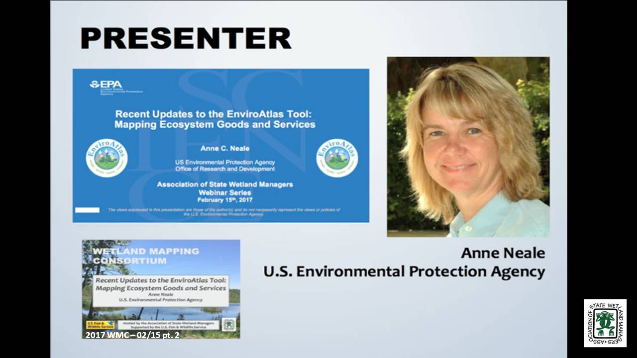
Recent Updates to the EnviroAtlas Tool: Mapping Ecosystem Goods and Services
Held Wednesday, February 15, 2017 - 3:00 pm ET
INTRODUCTION
- Marla Stelk, Policy Analyst, Association of State Wetland Managers [PRESENTATION PDF]
PRESENTER
- Anne Neale, EnviroAtlas Project Lead, U.S. Environmental Protection Agency [PRESENTATION PDF]
ABSTRACT
EnviroAtlas is a multi-organization effort led by the U.S. Environmental Protection Agency to develop, host and display a large suite of nation-wide geospatial indicators of ecosystem goods and services. EnviroAtlas includes an Interactive Map which makes it easy for non-GIS users to view and analyze geospatial data including resources that could be particularly useful for wetland conservation, management, and research. An example of the many data layers available in EnviroAtlas is a nationwide 30-meter resolution data layer depicting suitability for wetland restoration which has been based on existing soils, land cover, and topography. Other data layers describe the land cover composition of water body buffers and connectivity to nutrient sources. Additional data layers relate to ecosystem markets and provide information about wetland mitigation banks. Other examples relate to biodiversity. More than 160 national indicators of ecosystem service supply, demand, and drivers of change provide a framework to inform decisions and policies at multiple spatial scales, educate a range of audiences, and supply data for research. A higher resolution component based on a one-meter land cover classification is also available, providing over 100 data layers for finer-scale analyses for selected communities across the US.
BIO
 Anne Neale is the Project Lead for EnviroAtlas, a web-based interactive tool that integrates over 300 mapped data layers and helps users understand the implications of planning and policy decisions on the benefits humans derive from ecosystems. Anne has a background in landscape ecology and ecosystem services and has been with EPA since 1991. She currently co-chairs a Working Group on Ecosystem Services housed within the White House Committee on Environment, Natural Resources and Sustainability, Subcommittee on Ecological Systems. She received a Bachelor of Science Degree in Environmental Studies from Utah State University in 1986. One of her primary research foci has been examining relationships between spatial patterns of landscape characteristics and conditions of and risks to ecological resources and the societal benefits they provide.
Please click only once on each video recording to view in this window.
Part 1: Introduction: Marl Stelk, Policy Analyst, Association of State Wetland Managers
![]()
Presenter: Anne Neale, EnviroAtlas Project Lead,U.S. Environmental Protection Agency![]()
![]()
![]()
![]()
![]()
View Past Wetland Mapping Consortium Webinars
PDF List of Past Wetland Mapping Consortium Webinar Recordings
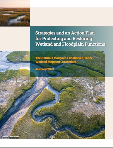 The Natural Floodplain Functions Alliance (NFFA) and the Wetland Mapping Consortium (WMC) are pleased to announce the release of their jointly developed report, “Strategies and an Action Plan for Protecting and Restoring Wetland and Floodplain Functions.” This report is the result of a multi-year initiative and a series of workshops that were developed to identify barriers to greater integration of wetland and floodplain management efforts and strategies for overcoming those barriers for nature-based solutions. The overall goal of the initiative was to support greater climate resiliency and, in turn, safer and healthier communities for all Americans.
The report is organized based on four pillar topics that were identified during workshops as being central to developing a path forward: policy, data, funding, and communication. The report documents workshop findings, policy recommendations, and suggested next steps.
The loss of functioning floodplains is contributing to water-resources management challenges across the nation, including increased flooding and erosion, poor water quality, drought, and loss of biodiversity. Functioning floodplains are a necessary solution to address the climate change and biodiversity crises that we face today. The strategies and recommendations included in the report are intended to provide a launching pad to reignite federal leadership and support for a unified national program and action plan for protecting and restoring the natural and beneficial functions of wetlands and floodplains.
The link below will ask for your email address to download the Strategies and an Action Plan for Protecting and Restoring Wetland and Floodplain Functions report. If you do not want to enter your email address, please contact Sharon (sharon@nawm.org) for the link to the report.
![]()
Thank you to our Generous Sponsors!
| Host Sponsor |
 The mission of the Nebraska Game and Parks Commission is stewardship of the state’s fish, wildlife, park, and outdoor recreation resources in the best long-term interests of the people and those resources. The mission of the Nebraska Game and Parks Commission is stewardship of the state’s fish, wildlife, park, and outdoor recreation resources in the best long-term interests of the people and those resources. |
Kingfisher Sponsors
 Ducks Unlimited is dedicated to conserving North America's waterfowl habitats and has conserved more than 15 million acres. Ducks Unlimited is dedicated to conserving North America's waterfowl habitats and has conserved more than 15 million acres. |
||
 Cattails Environmental is a consulting company working primarily in Arkansas, Oklahoma, Missouri, and Kansas providing clients with services related to the Clean Water Act, National Environmental Policy Act and Endangered Species Act Cattails Environmental is a consulting company working primarily in Arkansas, Oklahoma, Missouri, and Kansas providing clients with services related to the Clean Water Act, National Environmental Policy Act and Endangered Species Act |
||
|
|
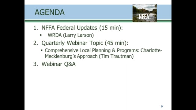
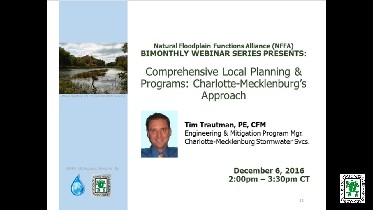
Comprehensive Local Planning and Programs: Charlotte-Mecklenburg’s Approach
Tuesday, December 6, 2016 - 3:00 p.m. ET
![]()
DESCRIPTION
Comprehensive planning and visioning for floodplains can only be done on the local level. Many communities lack a vision or don’t know where to begin. This webinar will demonstrate how Charlotte-Mecklenburg developed and implemented a local resilience vision, and created plans and programs to implement it over the past 20 years. It takes a whole lot more than just funding to truly become more resilient.
This webinar provided ideas and examples that can be implemented to varying degrees in any community. Some of the topics in this webinar included; community visions for managing flood risk that promote long term resilience, communities acceptable risk level, adapt to flood risk changes, incentivizing and implementing mitigation at the local level, making your mitigation planning more useful, communicating risk that will lead to actions, showing results.
Flood Risk Assessment and Risk Reduction Plan (January 2012)
PRESENTER
- Tim Trautman, PE, CFM, Charlotte-Mecklenburg Storm Water Services, Engineering & Mitigation Program Manager [PRESENTATION PDF]
Please click only once on each video recording to view in this window.
Presenter: Tim Trautman, PE, CFM, Charlotte-Mecklenburg Storm Water Services
![]()
October Federal Update: The FEMA Proposed Rule for FFRMS and Update on WRDA
Tuesday, October 4, 2016 - 3:00 p.m. EDT
- Larry Larson, Senior Policy Advisor, Association of State Floodplain Managers
![]()
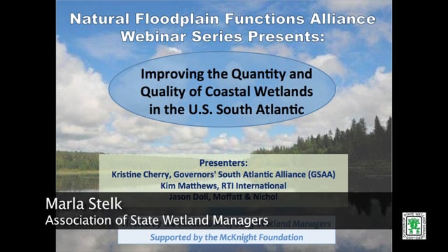
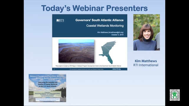
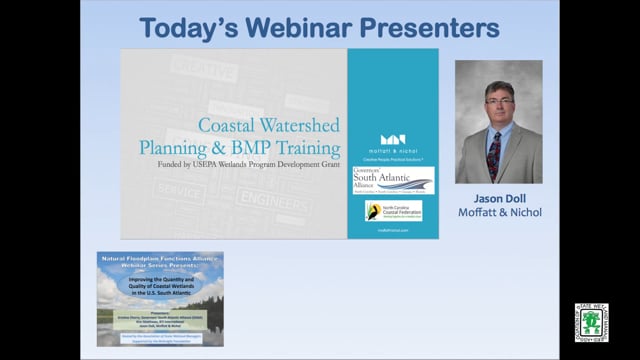
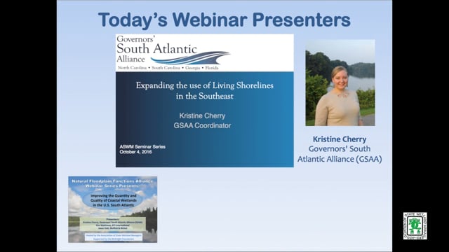
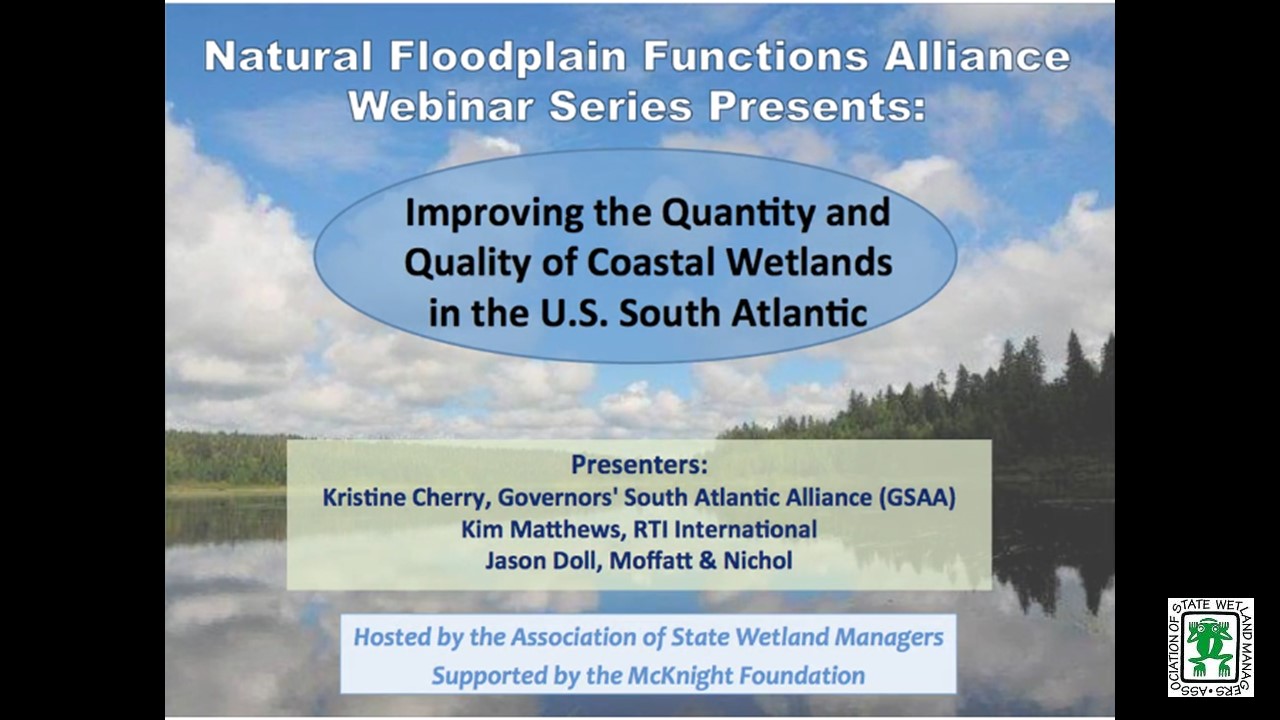
Improving the Quantity and Quality of Coastal Wetlands in the U.S. South Atlantic
INTRODUCTION
- Marla Stelk, Policy Analyst, ASWM and Jeanne Christie, ASWM [PRESENTATION PDF]
PRESENTERS
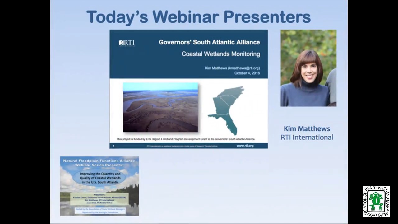
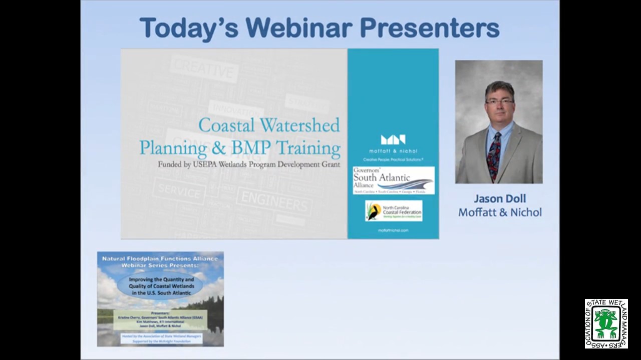
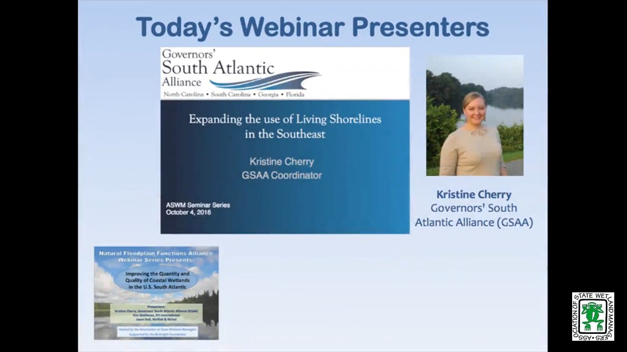
- Kristine Cherry, Governors' South Atlantic Alliance (GSAA) [INTRODUCTION PDF] [PRESENTATION PDF]
- Kim Matthews, RTI International [PRESENTATION PDF]
- Jason Doll, Moffatt & Nichol [PRESENTATION PDF]
ABSTRACT
The USFWS and NOAA report that coastal wetlands in the US are being lost at a rate six times faster than wetlands in the rest of the country. Impacts to coastal wetlands are a challenge for every level of government and governance, and while many regulatory authorities fall within the jurisdiction of national and state government agencies, there are knowledge gaps at the regional level in understanding trends and environmental, physical, and anthropogenic factors that impact wetlands. State, federal, and non-profit partners have come together through the Governors’ South Atlantic Alliance to address the regional-scale needs of coastal wetlands conservation efforts. The webinar will review the objectives and the approaches of three main components of the GSAA coastal wetlands program, and the progress to date from each.
Project #1 Coastal Wetlands Monitoring
Objectives
- Improve coordination of fragmented monitoring programs
- Improve comparability of monitoring programs
- Improve data awareness and information sharing
Project #2 Coastal Watershed Management
Objectives
- Increase local capacity for development of watershed restoration plans
- Facilitate implementation of Coastal Water Quality BMPs
Project #3 Living Shorelines
Objectives
- Develop a network of living shorelines practitioners in the Southeast
- Build awareness of the scope of living shorelines activities in the region
- Identify gaps in knowledge and capacity that, if filled, would expand the appropriate use of living shorelines
Please click only once on each video recording to view in this window.
Part 1: Introduction: Marla Stelk, Policy Analyst, ASWM
Presenter: Kristine Cherry, Governors' South Atlantic Alliance (GSAA)
![]()
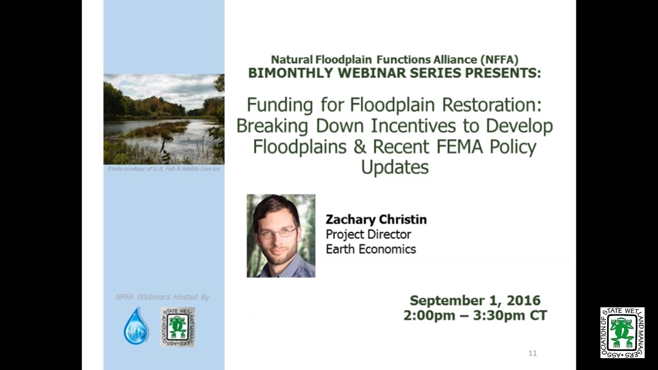
Funding for Floodplain Restoration: Breaking Down Incentives to Develop Floodplains & Recent FEMA Policy Updates
September 1, 2016 - 3:00 p.m. ET
![]()
HOST
Association of State Floodplain Managers
PRESENTER
- Zachary Christin, Project Director, Earth Economics
ABSTRACT
Last May, FEMA released a memorandum that outlined how the agency is broadening authorization of natural solutions for flood mitigation projects. Under the new policy, FEMA expanded eligibility of pre-mitigation project types for drought and wildfire disasters, which include groundwater recharge and reforestation. The agency is also allowing ecosystem service values to be applied to benefit-cost analysis of these pre-mitigation activities. The takeaway message: FEMA now funds restoration projects that mitigate the effects of disasters.
FEMA’s recent policy update marks their second major milestone as a leader in addressing a future under a changing climate. With programs in nearly $24 billion of debt, FEMA’s change was imminent, and further reform may be necessary. Other federal agencies must follow suit as we continue to experience the development of floodplains that exacerbate flood damages and inhibit ecological functions.
This presentation will begin with a discussion of U.S. regulatory policy related to floodplain management and the disincentives that allow development of floodplains to persist. The discussion will follow with a path moving forward: Highlighting success cases at the federal level and offering solutions to existing policy.
Please click only once on each video recording to view in this window.
NFFA Federal Updates: Jeanne Christie, Executive Director, ASWM
Presenter: Zachary Christin, Project Director, Earth Economics
![]()
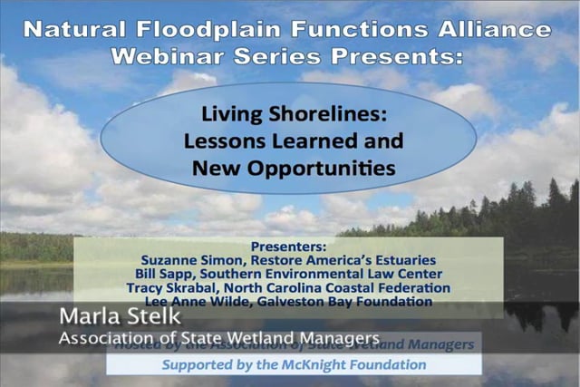
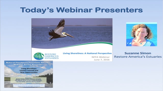
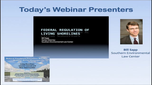
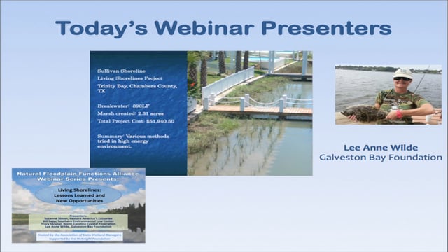
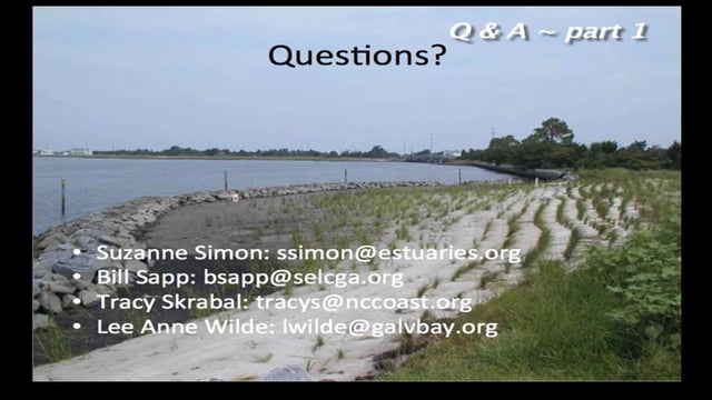
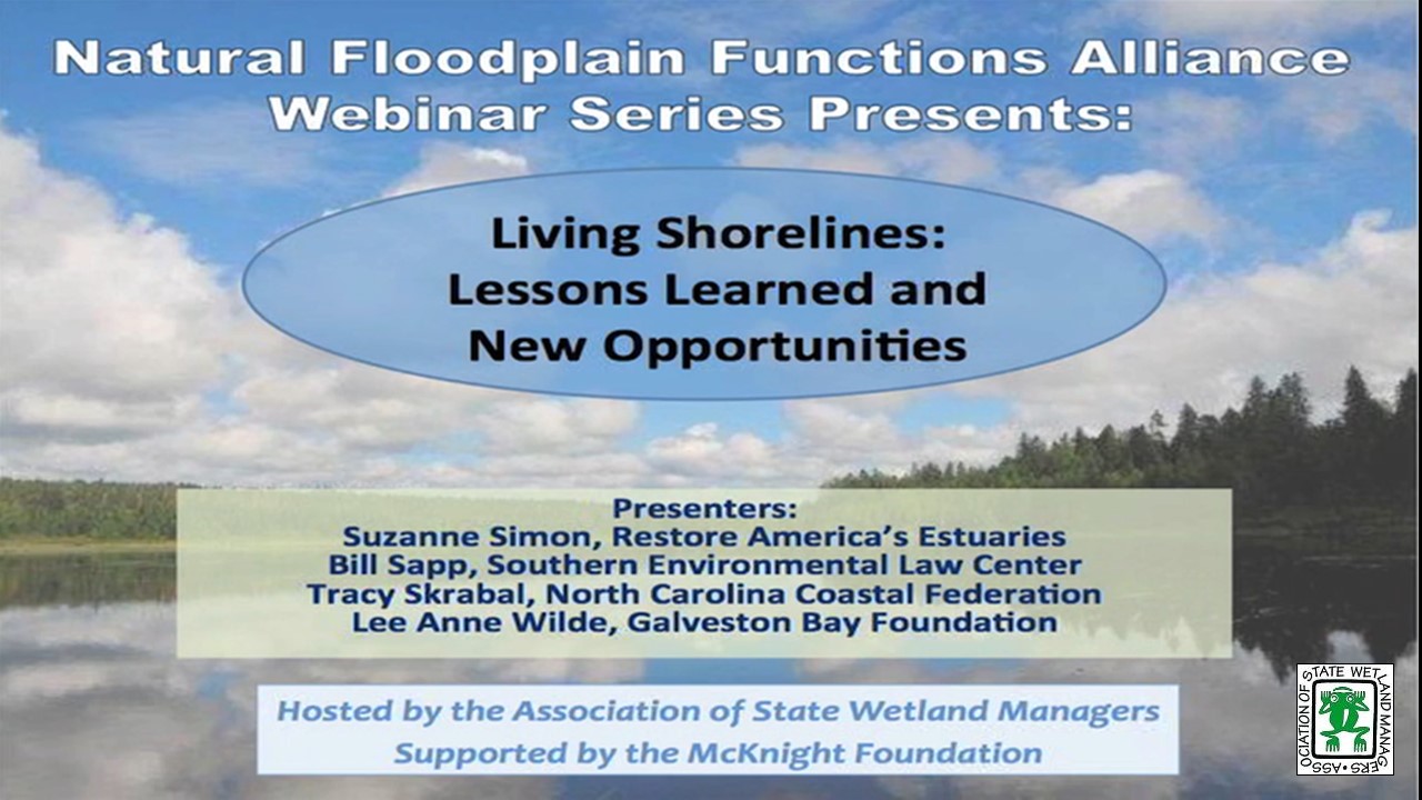
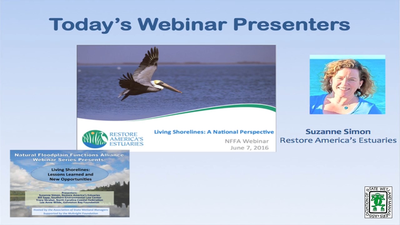
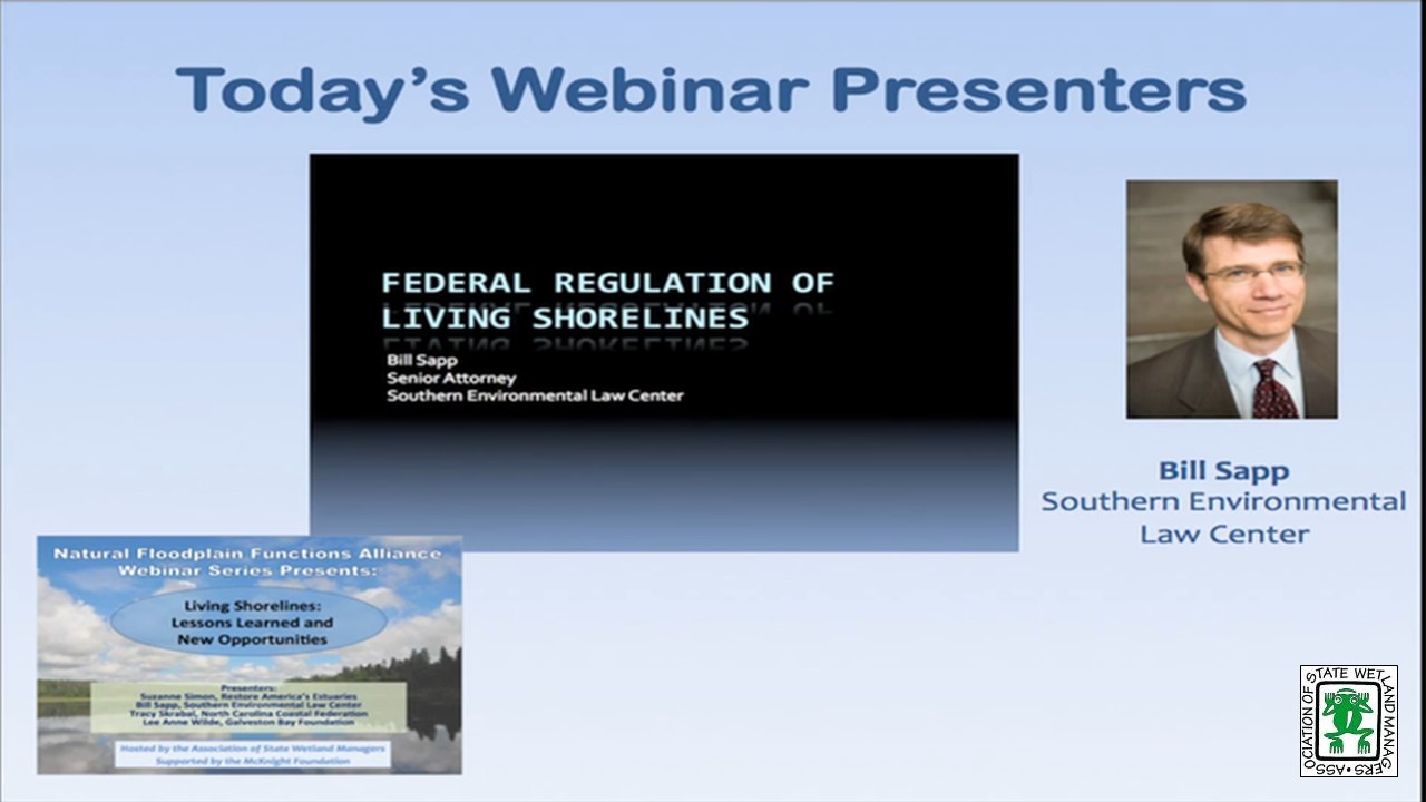
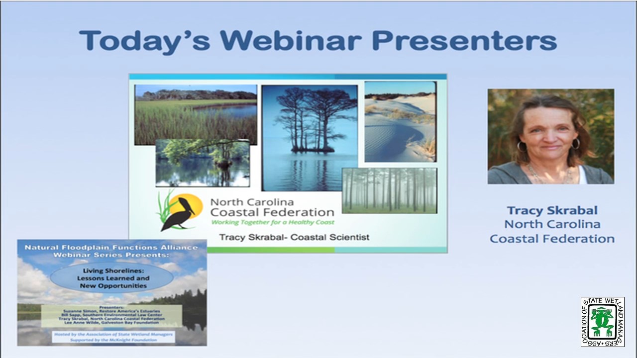
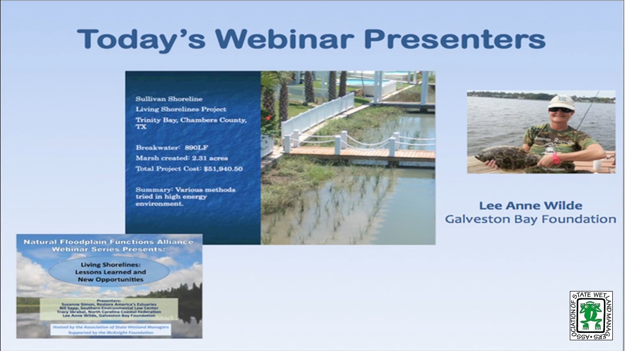
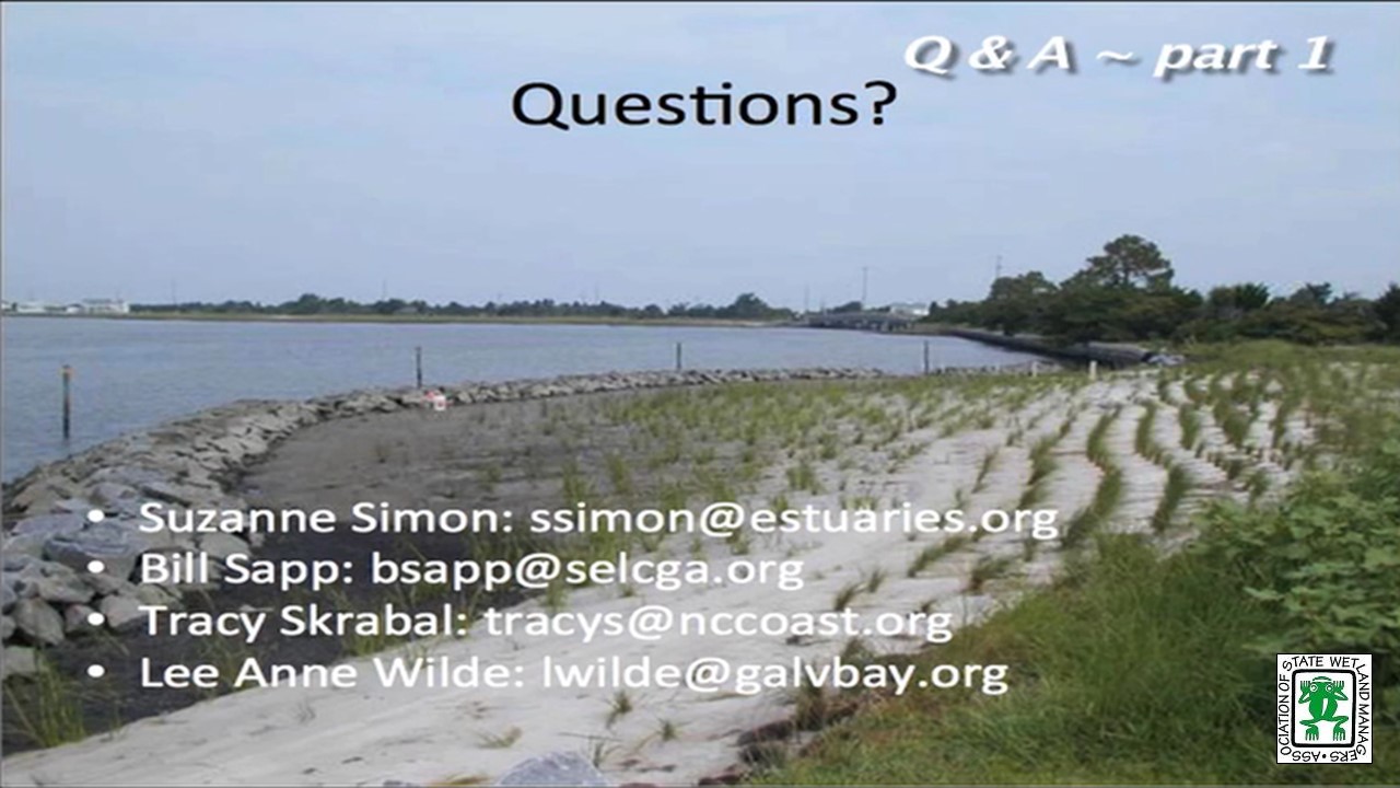
Living Shorelines: Lessons Learned and New Opportunities
June 7, 2016 - 3:00 p.m. ET
![]()
INTRODUCTION
- Marla Stelk, Policy Analyst, ASWM and Jeanne Christie, ASWM [PRESENTATION PDF]
PRESENTERS
- Suzanne Simon, Strategic Programs Manager, Restore America’s Estuaries [PRESENTATION PDF]
- Bill Sapp, Senior Attorney, Southern Environmental Law Center [POWERPOINT PRESENTATION]
- Tracy Skrabal, Southeast Regional Manager and Coastal Scientist, North Carolina Coastal Federation [PRESENTATION PDF]
- Lee Anne Wilde, Living Shorelines Program Managers, Galveston Bay Foundation [PRESENTATION PDF]
ABSTRACTS
Suzanne Simon, Restore America’s Estuaries
Whether known as living shorelines, soft stabilization, soft armoring, or green shores, this suite of techniques provides an opportunity for property owners to address shoreline erosion while also providing ecosystem and habitat benefits. Ms. Simon will provide an overview from a national perspective regarding these approaches. She will also highlight findings, tools, opportunities, and resources for people wanting information, either for themselves or property owners.
Bill Sapp, Southern Environmental Law Center
The proposed nationwide permits have finally hit the streets. As predicted there is a NWP 13, as well as a new NWP for living shorelines. I will be discussing the good, the bad, and the ugly in each of these permits. I will also be discussing the importance of commenting on these permits during the 60 day comment window. It is critical that the Corps gets these permits right because we need to head off the growing epidemic of shoreline hardening facing our coasts and rivers.
Tracy Skrabal, North Carolina Coastal Federation
This presentation will provide information and “lessons learned” for living shorelines projects in and around North Carolina. With decades of experience as a backdrop, Ms. Skrabal will discuss challenges and opportunities for living shorelines projects. In addition, the presentation will provide Ms. Skrabal’s perspective and experience in advocating for permitting changes for these efforts.
Lee Anne Wilde, Galveston Bay Foundation
This presentation will use as a case study a living shoreline site on Trinity Bay near Anahuac, TX. Galveston Bay Foundation and the landowner have been working for many years to find ways to control the erosion of his shoreline in ways that enhance habitat and water quality. Several methods have been tried in this high energy environment. This presentation will look at what has worked and what hasn’t discussing lessons learned along the way. In addition, the presentation will address why GBF sought a Nationwide 27 permit for habitat creation as opposed to a Nationwide 13 for bank stabilization in this instance as well as many others.
Please click only once on each video recording to view in this window.
Part 1: Introduction: Marla Stelk, Policy Analyst, ASWM


The Nature Conservancy's Emiquon: Restoring Functional Floodplain for Nature & People
April 28, 2016 - 3:00 p.m.-4:30 p.m. ET
![]()
HOST
Association of State Floodplain Managers
PRESENTER
- K. Douglas Blodgett, Director of River Conservation, Illinois Chapter of The Nature Conservancy [PRESENTATION PDF]
ABSTRACT
In large-floodplain river systems, such as the Illinois River, the dynamic connection between the river and its floodplain contributes to important ecological processes and habitats that provide a wide variety of ecosystem services and support diversity and abundance. Most of these services were minimized or even lost completely when fertile floodplains were isolated by levees and drained for agriculture nearly a century ago. At The Nature Conservancy’s 6700-acre Emiquon Preserve along the Illinois River, we are working with partners on restoration and management of a formerly leveed, draied, and intensively farmed floodplain to reestablish many of the ecosystem services it formerly provided. Restoration began in 2007 and results to date have been impressive. Over 265 bird species have been documented and peak one-day densities of water birds are approaching 200,000. In 2016, a managed connection between the restored floodplain and the river is being completed to provide water control needed for restoring a more natural hydrology to sustain the high-quality habitats and to facilitate movements of aquatic organisms. Through effectual partnerships with agencies, universities and other NGOs, research and monitoring at Emiquon is advancing our understanding, restoration, and management of floodplains and the many benefits they provide for nature and people.
Please click only once on each video recording to view in this window.
Presenter: K. Douglas Blodgett, Director of River Conservation, Illinois Chapter of The Nature Conservancy
![]()
![]()
![]()
![]()
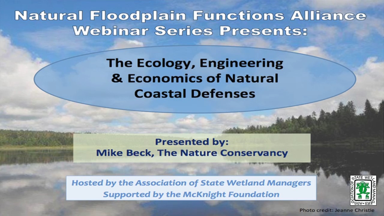
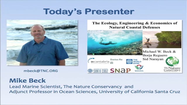
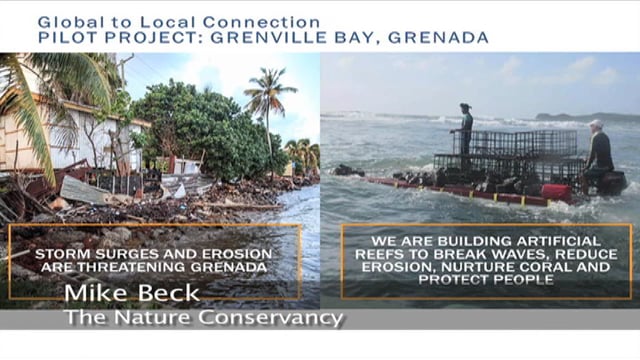
The Ecology, Engineering & Economics of Natural Coastal Defenses
Tuesday, March 1, 2016 - 3:00 p.m. - 4:30pm ET
![]()
INTRODUCTION
- Marla Stelk, Policy Analyst, ASWM and Jeanne Christie, ASWM [PRESENTATION PDF]
PRESENTER
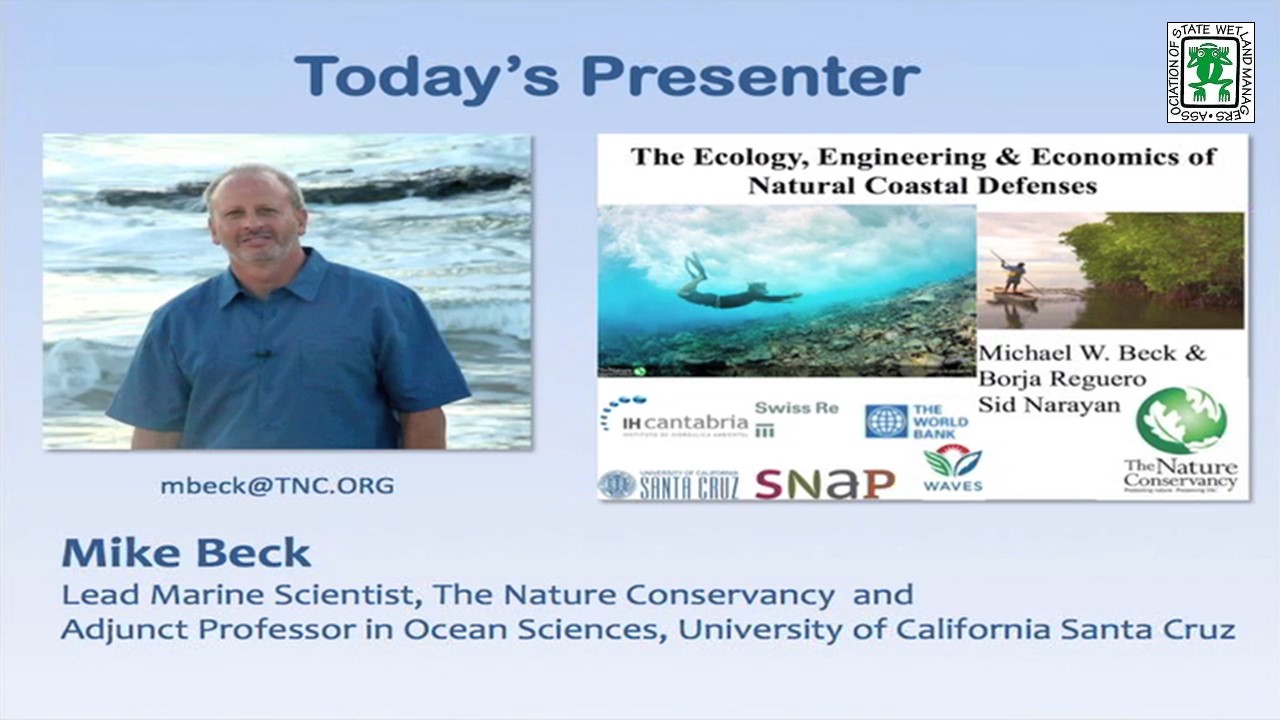
- Mike Beck, The Nature Conservancy and Adjunct Professor in Ocean Sciences, University of California Santa Cruz [PRESENTATION PDF]
ABSTRACT
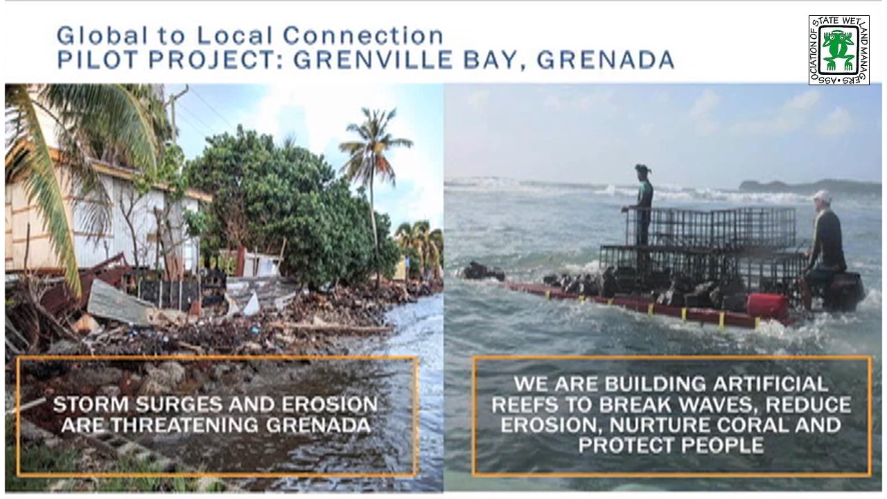
The risks and the costs associated with coastal hazards are increasing both from coastal development and climate change. Coastal and marine habitats, particularly reefs and wetlands can substantially reduce exposure and vulnerability to coastal hazards, providing natural protection from risk. Yet the value of these systems as natural and nature-based defenses is still not fully recognized, and they continue to be lost and degraded. This webinar session will provide participants with: (a) a synopsis from a new World Bank Guidance Note on the coastal protection role of reefs and mangroves and the recommended approaches for valuing these benefits; (b) results from a global analysis that uses the recommended approaches to quantify the costs of flooding from coral reef loss; and (c) Results from cost:benefit analyses with TNC and Swiss Re that quantitatively compare natural and artificial defenses across the entire the Gulf of Mexico.
Please click only once on each video recording to view in this window.
Part 1: Introduction: Marla Stelk, Policy Analyst, ASWM and Jeanne Christie, ASWM
![]()
![]()
![]()
![]()
![]()

View Past Natural Floodplain Functions Alliance Webinars
PDF List of Past Natural Floodplain Functions Alliance Webinar Recordings
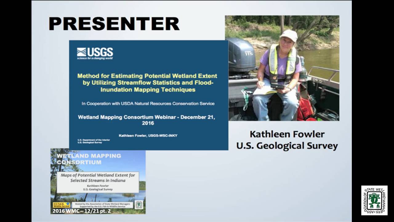
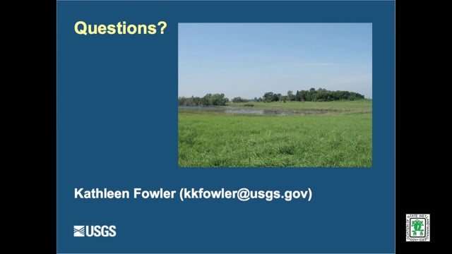
Maps of Potential Wetland Extent for Selected Streams in Indiana
Held Wednesday, December 21, 2016 - 3:00 pm Eastern
INTRODUCTION
- Marla Stelk, Policy Analyst, Association of State Wetland Managers
PRESENTER
- Kathleen Fowler, U.S. Geological Survey [PRESENTATION PDF]
ABSTRACT
Project in cooperation with U.S. Department of Agriculture, Natural Resources Conservation Service, Indianapolis, Indiana
Wetlands serve many ecological and hydrological functions. The NRCS Wetland Reserve Program planning criteria state for a site to be a wetland eligible for a restoration in agricultural land, it needs be in a zone with sustained or frequent flooding for a period of 7 consecutive days on average at least once every 2 years (a recurrence interval called the 7MQ2).
The objectives of this project are to expand the library of 7QM2 potential wetland extent maps in Indiana; to make existing and new maps in the library available through an on-line public map viewer; to document software for 7QM2 map preparation; and to publish results of field verification of the maps, along with new maps by USGS.
BIO
 Kathleen Fowler has a Bachelor’s Degree in Geology from Indiana University. Her first major work experience was in the oil fields of Texas and Louisiana as a mud logging geologist. She began her career with the USGS as a field technician and then a hydrologist.
Kathleen has experience in both ground-water and surface-water hydrology. She has created GIS databases for military bases within Indiana. She has applied GIS techniques to classify hydrogeologic data for use in the ground-water model, MODFLOW. She led projects to compile hydrogeologic and water-quality data for the St. Joseph Aquifer System and sediment transport along a stream in that area. For Indiana’s Source Water Assessment, Kathleen surveyed and described intakes at most of Indiana’s surface-water suppliers. She has participated in mercury studies in litterfall, precipitation, and streams. Her most recent work has involved flood inundation mapping, low-flow characteristics estimation, and regional regression analysis for low-flow estimation at ungagged sites. She is an active member in Indiana Water Resources Association and is a Licensed Professional Geologist.
Please click only once on each video recording to view in this window.
Part 1: Introduction: Marla Stelk, Policy Analyst, Association of State Wetland Managers
![]()
Presenter: Kathleen Fowler, U.S. Geological Survey![]()
![]()
![]()
![]()

![]()
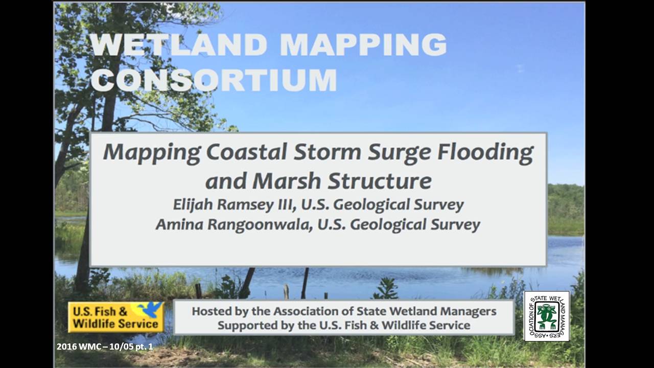
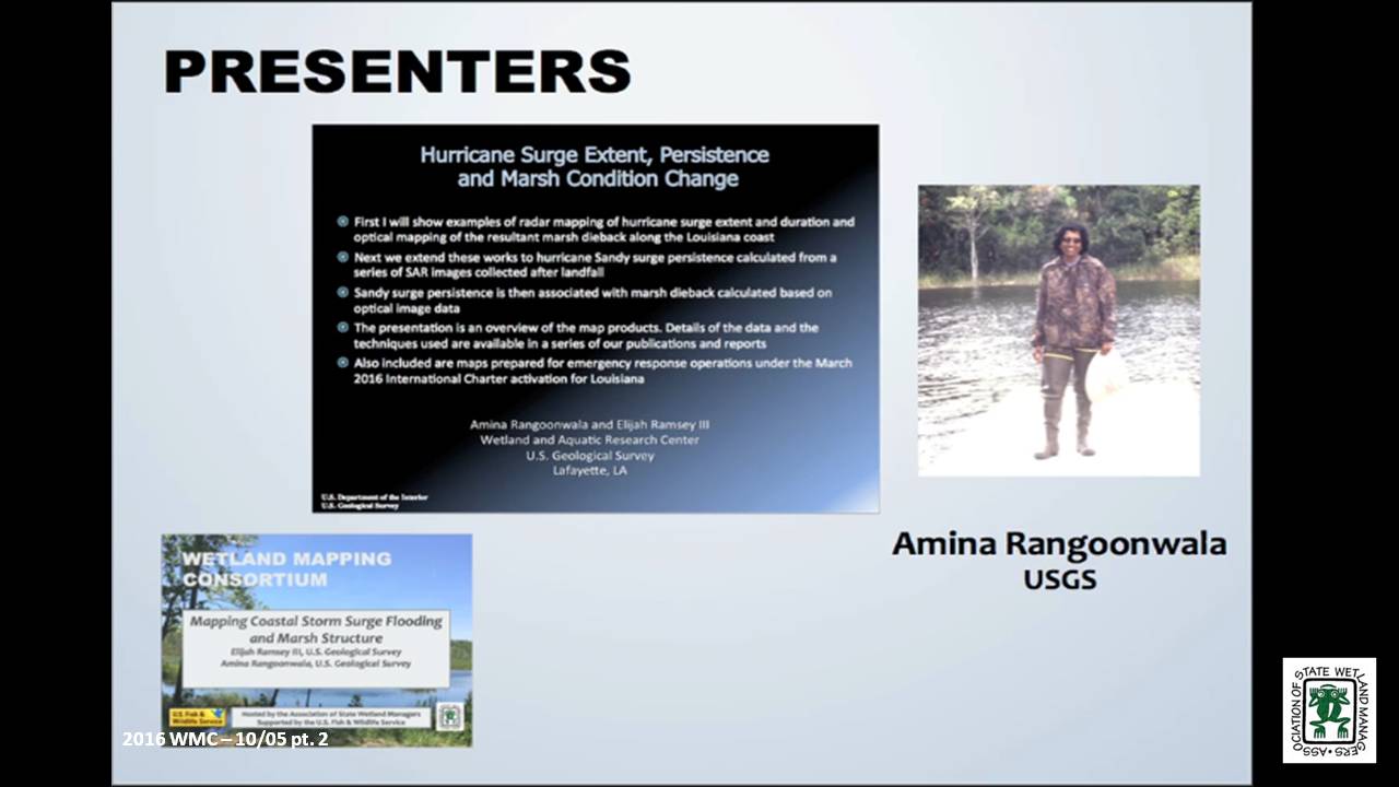
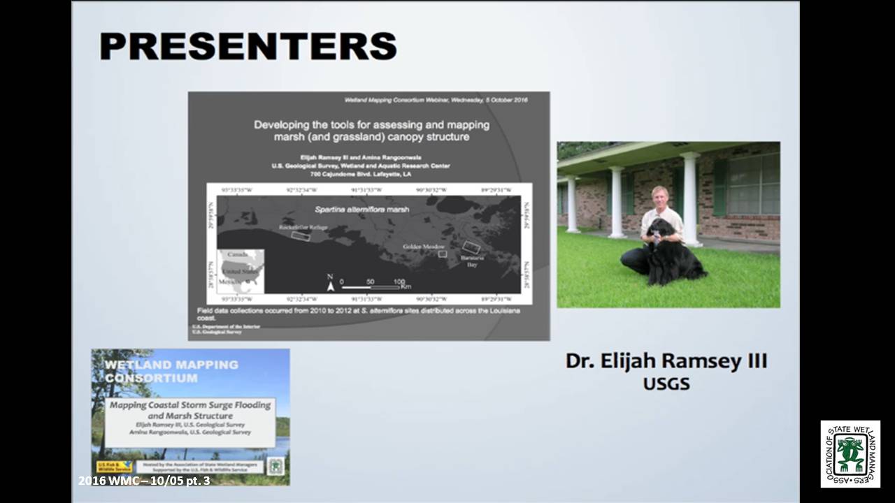
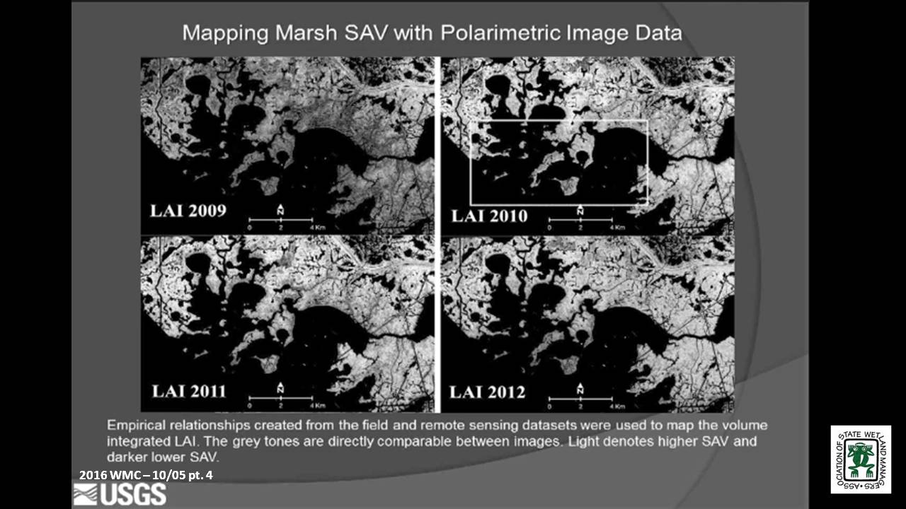
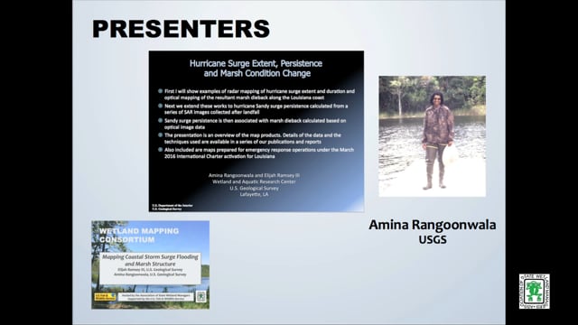
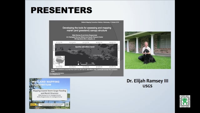
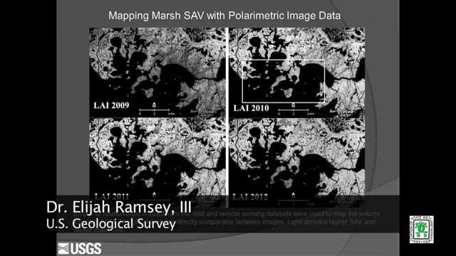
Mapping Coastal Storm Surge Flooding and Marsh Structure
Held Wednesday, October 5, 2016 - 3:00 pm Eastern
PRESENTERS
- Elijah Ramsey III, U.S. Geological Survey
- Amina Rangoonwala, U.S. Geological Survey
ABSTRACTS
Developing the tools for assessing and mapping marsh (and grassland) canopy structure – Elijah Ramsey III, U.S. Geological Survey
The capability to map marsh structure started with developing field methods that provided quantitative and reproducible 3-dimentional representations of marsh canopy structure. Methods of field collection were standardized over numerous studies and conversion of those standardized field measurements to vertical profiles of leaf area index (LAI) and average leaf angle distribution (LAD) was accomplished without user supplied estimates. LAI integrated to a volume metric and LAD were combined with polarimetric SAR data to create empirical relationships that were then used to create maps of marsh structure.
Hurricane Surge Extent, Persistence and Marsh Condition Change – Amina Rangoonwala, U.S. Geological Survey
Working to support coastal resilience, our studies have focused on providing resource management with effective strategies for identifying latent impacts to coastal resources. Within that effort, we have studied the capabilities of radar to map subcanopy flooding and its persistence in coastal marshes. We have also used optical to show how surge can cause widespread fresh and saline marsh dieback. Here we use a sequence of post landfall radar based surge extents to calculate surge persistence and link that to optical based pre to post landfall marsh live biomass change.
BIOS
 Elijah Ramsey III is a principal investigator of terrestrial and coastal ocean remote sensing and image processing in the U. S. Geological Survey, Wetland and Aquatic Research Center (formerly NWRC), Lafayette, Louisiana. He received his B.S. in Chemistry at the University of Oregon, his M.S. in Geophysics from the Georgia Institute of Technology in Atlanta, Georgia, and his Ph.D. from the Department of Geography at the University of South Carolina. His applied research is focused on producing consistent biophysical information directly relevant to sustaining critical natural resources that support the well-being of human and wildlife populations. As part of this focus, his work integrates data from passive to active and optical to radar systems that advance the response and strategic monitoring of natural resources and the human populations and facilities that occupy these environments.
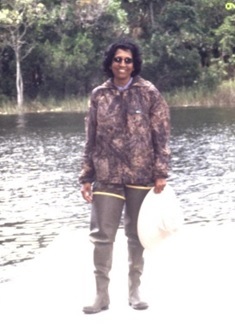 Amina Rangoonwala received her M.Sc degree in Physics from the University of Karachi, Pakistan in 1984. After immigrating to the United States in 2000, she worked as a remote sensing specialist contractor at USGS National Wetlands Research Center, Lafayette, Louisiana until becoming an employ of USGS as an Earth Science Remote Sensing Geophysicist in 2014. She has worked on projects applying hyperspectral image analysis to determine the onset and progression of vegetation decline, detection of the invasive species occurrences, and leaf optics measurements for ground base validation. Her work also involves the integration of optical and radar satellite data to map the relationship between flood inundation extent and duration and marsh condition and the development of polarimetric radar methods for mapping canopy structure. She is called to map river and storm flooding in the coastal region of the central Gulf of Mexico during emergency activations of the International Charter.
Please click only once on each video recording to view in this window.
Part 1: Introduction: Marla Stelk, Policy Analyst, ASWM
![]()
Presenter: Amina Rangoonwala, U.S. Geological Survey![]()
![]()
![]()
![]()
![]()
September 2016
Break![]()
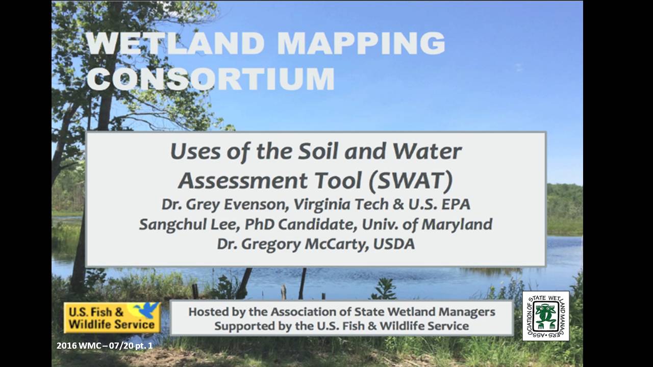
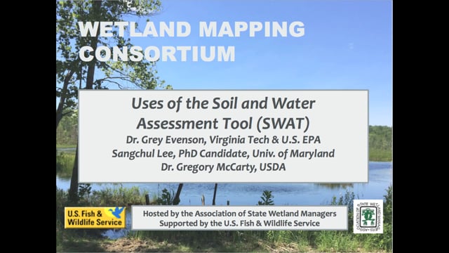
3 Part Webinar on the Soil and Water Assessment Tool (SWAT)
Held Wednesday, July 20, 2016 – 3:00pm Eastern
INTRODUCTION
- Marla Stelk, Policy Analyst, Association of State Wetland ManagerS [PRESENTATION PDF]
PRESENTERS
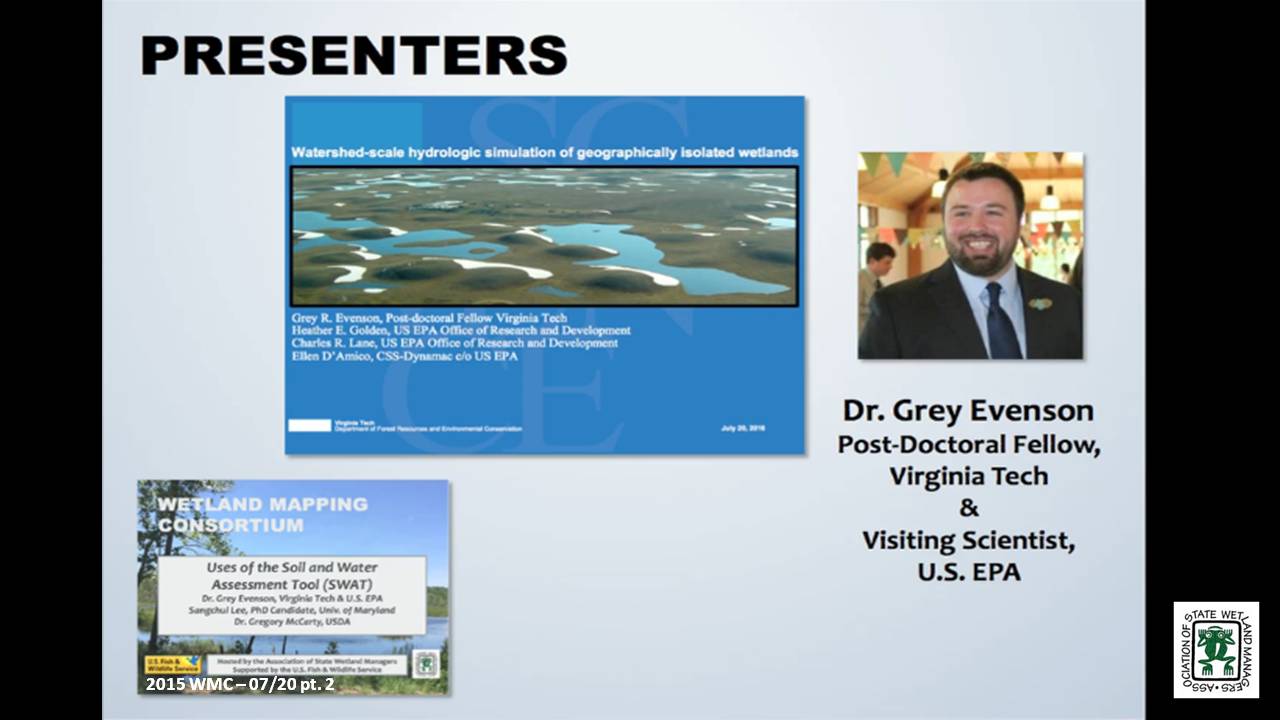
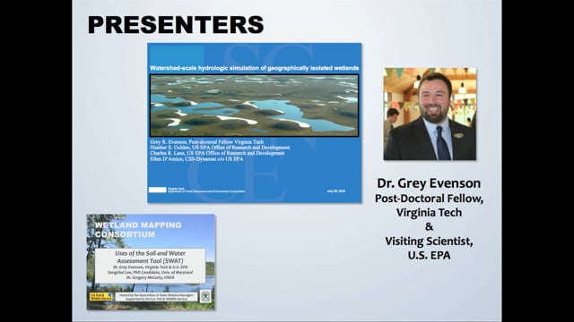
- Grey Evenson, PhD, Post-Doctoral Fellow, Virginia Tech and Visiting Scientist, U.S. EPA [PRESENTATION PDF]
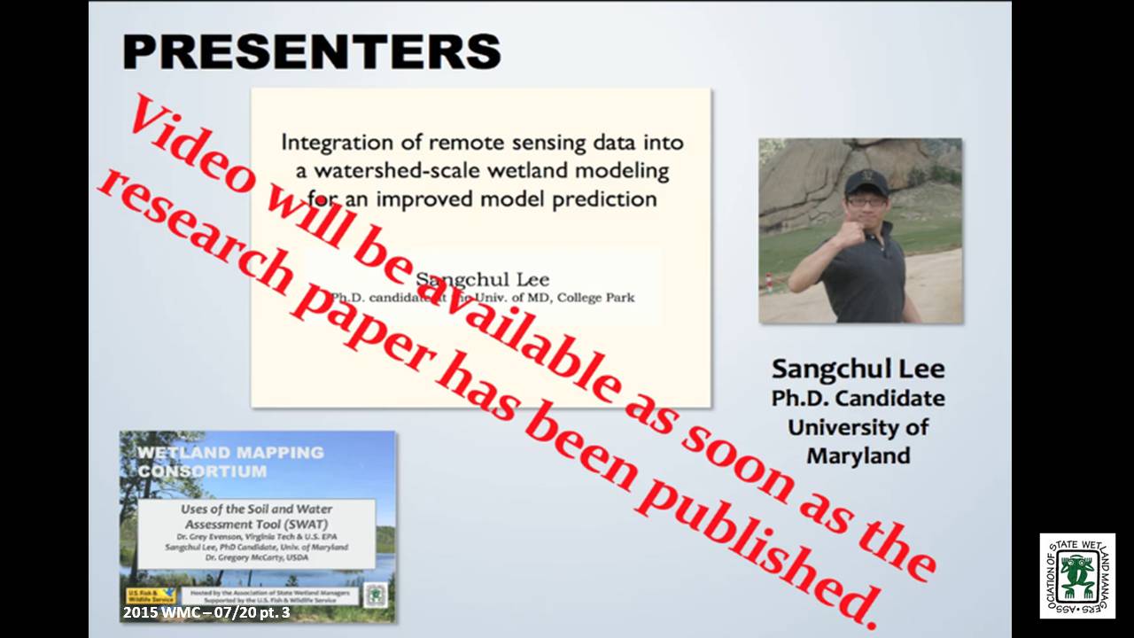
- Sangchul Lee, PhD Candidate, University of Maryland [PRESENTATION PDF]
- Greg McCarty, PhD, Research Soil Scientist, USDA [PRESENTATION PDF]
ABSTRACTS
Watershed-scale hydrologic simulation of geographically isolated wetlands: methods and preliminary results - Grey Evenson, PhD, Post-Doctoral Fellow, Virginia Tech and Visiting Scientist, U.S. EPA
Geographically isolated wetlands (GIWs), defined as wetlands surrounded by uplands, provide an array of ecosystem goods and services. Within the United States, federal regulatory protections for GIWs are contingent, in part, on the quantification of their singular or aggregate effects on the hydrological, biological, or chemical integrity of waterways regulated by the Clean Water Act (CWA). However, limited tools are available to assess the downgradient effects of GIWs. We modified the Soil and Water Assessment Tool (SWAT), a popular watershed-scale hydrologic model, to incorporate an improved representation of GIW hydrologic processes and thereby evaluate the watershed-scale hydrologic effects of GIWs on downgradient hydrology. This webinar will review (1) our approach to incorporating National Wetland Inventory (NWI) delineated GIWs into SWAT; (2) our method of re-defining SWAT Hydrologic Response Units (HRUs) boundaries to conform to the boundaries of NWI delineated GIWs while simulating fill-spill inter-GIW hydrologic flows; and (3) preliminary results from the application of our modeling approach in the ~1,700 km2 Pipestem watershed in the Prairie Pothole Region of North Dakota. Our approach to modifying SWAT may be replicated to evaluate the watershed-scale aggregate hydrologic effects of GIWs in different watersheds and physiographic regions.
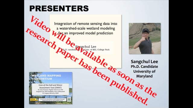
Integration of remote sensing data into a watershed-scale wetland modeling for an improved model prediction - Sangchul Lee, PhD, Candidate, University of Maryland
Wetlands provide important ecological benefits for biodiversity and water quality. This ecosystem functioning highly relies on the hydrological characteristics of wetlands (e.g., hydro-period) and their connectivity to the downstream waters. Soil and Water Assessment Tool (SWAT), one of widely used watershed models, has been applied to investigate catchment-scale wetland hydrological function. However, uncertainties associated with wetland parameterization and the prediction of inundated areas have not been thoroughly assessed due to the data unavailability. Remote sensing provides synoptic information on the spatial distribution of wetland, and recent studies demonstrated improved capability to characterize wetland inundation patterns at a high resolution (30-m) using time series Landsat records and LiDAR. This study integrated remote sensing data into Soil and Water Assessment Tool (SWAT) to improve the wetland parameterization and prediction on inundated area and to assess the cumulative hydrological impacts of wetlands on the downstream water. We adopted Riparian wetland module (RWM), a SWAT extension for riparian wetlands, to simulate interactions between RWs and nearby streams. We illustrated how inundation maps (derived from satellite remote sensing) can be used to set up spatially varying wetland parameters and to assess predicted inundation at the landscape scales, considering the assumptions and simplification of wetland processes represented in SWAT. Using the Choptank Watershed as a case study, we demonstrated the hydrological benefits of wetlands to stabilize overall flow pattern and reduce peak flow at the storm event.
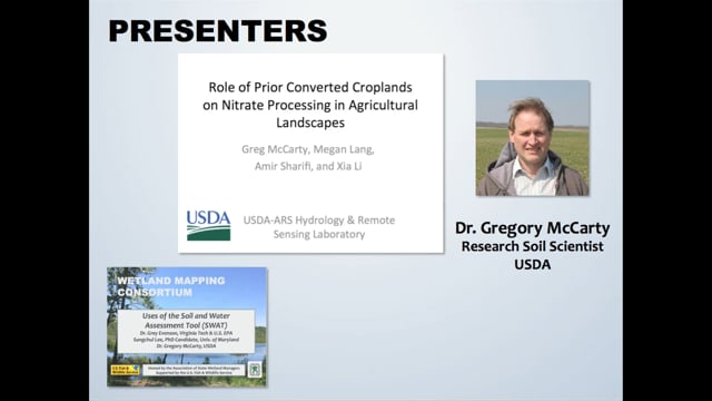
Role of Prior Converted Croplands on Nitrate Processing in Agricultural Landscapes - Gregory McCarty, PhD, Research Soil Scientist, USDA
Prior converted croplands (PCC) are wetlands that were drained for crop production prior to the Swampbuster provisions of the 1985 Food Security Act. Within the Swampbuster provisions, PCC’s will revert to wetlands if the land is not cropped for five years and as such they hold special status within agricultural ecosystems for conservation. Our research has found that although PCC’s are sufficiently drained for crop production, they still retain some of the biogeochemical characteristics of wetlands because of both intrinsic (soil) and extrinsic (landscape position) properties. We find evidence that the amount of nitrate exported from agricultural watersheds can be related to extent of crop production on hydric soils associated with PCCs. We hypothesize that this relationship is due to increased ability of PCC’s to process nitrate before leaching to groundwater. The SWAT model has now been successfully modified to better reflect the unique role PCC’s play in mitigating nitrate export for agricultural production systems. This work also emphasizes the need to better map the location of PCC’s in agricultural ecosystems both for conservation and for understanding the fate of agricultural nitrogen.
BIOS
 Grey R. Evenson, Ph.D. is a post-doctoral fellow with Virginia Tech’s Department of Forest Resources and Environmental Conservation and a Visiting Scientist with the US EPA’s Office of Research and Development. He specializes in the simulation of wetland hydrologic effects at larger spatial scales as well as wetland conservation and restoration planning methods. Grey completed his Ph.D. in Geography at Ohio State University in 2014. He lives with his wife and two fat cats in Columbus, Ohio.
Sangchul Lee earned his bachelor and master degree from South Korea and is working toward his PhD at the department of Geographical Sciences in the University of Maryland, College Park. He is interested in assessing the long-term impacts of winter cover crops and wetlands on agricultural watersheds using a watershed model. He integrated remote sensing data into a watershed model to better represent physical processes and improve model predictions.
Greg McCarty is a research soil scientist at the USDA ARS Hydrology and Remote Sensing Laboratory in Beltsville MD. Dr. McCarty is a recognized authority on movement and fate of carbon in agricultural landscapes. Dr. McCarty investigates biogeochemical processes affecting transformation of nitrogen and carbon in agricultural crop fields and adjacent ecosystems such as riparian buffer wetlands. He also leads the Choptank River Watershed project on the Eastern Shore of Maryland which is part of the USDA Long-term Agroecosystem Research network. With this project, conservation practices are being assessed at the watershed scale by use of a combination remote sensing and modeling.
Please click only once on each video recording to view in this window.
Part 1: Introduction: Marla Stelk, Policy Analyst, Association of State Wetland Managers
![]()
![]()
![]()
![]()
![]()
![]()
Defining Wetland Gems in North Central New Mexico
Held Tuesday, May 24, 2016 - 3:00pm Eastern
INTRODUCTION
- Marla Stelk, Policy Analyst, Association of State Wetland Managers [PRESENTATION PDF]
PRESENTERS
- Andy Robertson - Saint Mary’s University of Minnesota and Kevin Benck - Saint Mary’s University of Minnesota [PRESENTATION PDF]
ABSTRACT
Defining Wetland Gems in North Central New Mexico – Amigos Bravos and GeoSpatial Services
In a recent project, Amigos Bravos and the Western Environmental Law Center worked with GeoSpatial Services of Saint Mary’s University to identify important wetlands in the Carson National Forest of North Central New Mexico. This project utilized recently developed landscape level wetland mapping available from the New Mexico Environment Department (NMED), Surface Water Quality Bureau (SWQB). The purpose was to identify and characterize important wetland complexes in order to provide input to the U.S. Forest Service ten-year planning process and to help guide stakeholder opportunities for on-the-ground wetland management and restoration.
In order to facilitate this process, GeoSpatial Services conducted a GIS-based query and analysis exercise that resulted in the identification of key wetlands or wetland complexes within the National Forests that could be targeted for preservation, restoration and/or enhancement. These “Wetland Gems” were defined using a combination of NWI wetland boundaries, LLWW functional assessment criteria, HGM regional sub-classes and a variety of collateral spatial data layers such as SSURGO soils, NHD, cold and warm water fisheries and landcover.
Current efforts are focused on development of a methodology to quantify the total functional performance of a given wetland at three scales: the wetland mapping unit, the spatial context within a larger ecological unit (watershed), and wetland/watershed recovery priorities and management goals at some regional scale (county). While these three scales are qualitatively represented in the current Wetland Gems selection criteria, efforts are now focused on developing a scientifically credible and defensible quantitative approach.
BIOS
 Kevin Benck - Saint Mary’s University of Minnesota
Kevin joined GeoSpatial Services as a GIS Analyst in the fall of 2013. At GeoSpatial Services, Kevin fills a variety of roles on several projects ranging from project lead to conducting GIS analysis and data development in support of on-going projects. Prior to joining GeoSpatial Services, Kevin spent over 10 years working as part of a team in the development and application of analytical and geospatial tools for ecosystem services and environmental function analysis. Kevin has a B.A. in Environmental Studies and has continued his education with post graduate coursework in hydrology, hydrogeology, and environmental geography.
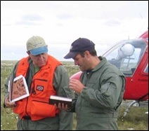 Andy Robertson - Saint Mary’s University of Minnesota
After serving as lead Project Manager for over 10 years, Andy Robertson assumed the position of GeoSpatial Services Director on June 01, 2015. In this role, Andy is responsible for oversight and management of all GeoSpatial Services projects, activities and staff. He continues to lead the management of project resources for a wide range of wetland mapping, spatial data development, and natural resource related projects as well as provide supervision and development for technical staff. Andy earned a Forest Technology Diploma from Sault College of Applied Technology in Ontario, Canada, a B.Sc. in Environmental Science from the University of Waterloo and completed post graduate work in forest management at the University of Toronto. GeoSpatial Services has been a key partner of the USFWS and has been working for over 15 years to update legacy National Wetland Inventory data nation-wide.
Please click only once on each video recording to view in this window.
Part 1: Introduction: Marla Stelk, Policy Analyst, Association of State Wetland Managers
![]()
Presenter: Andy Robertson, Saint Mary’s University of Minnesota ![]()
![]()
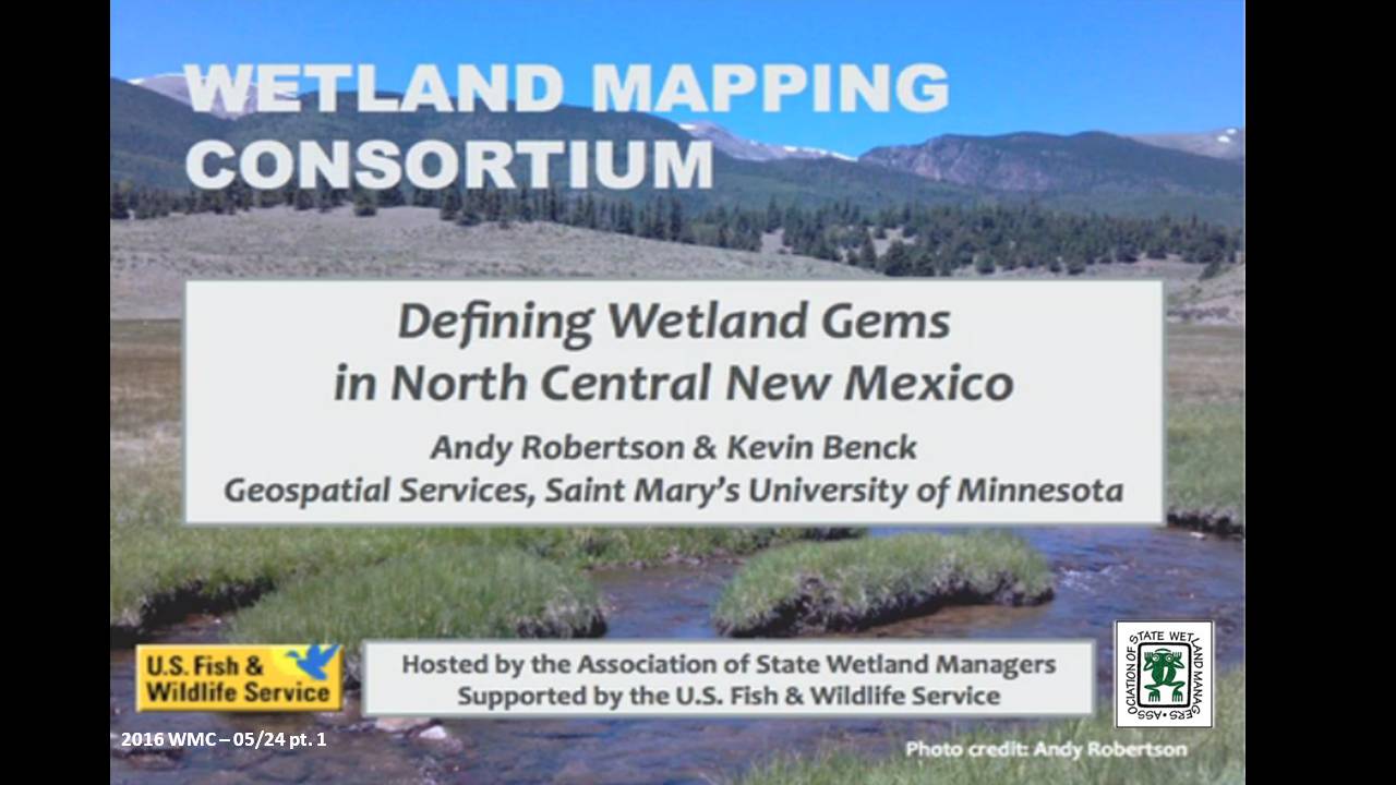
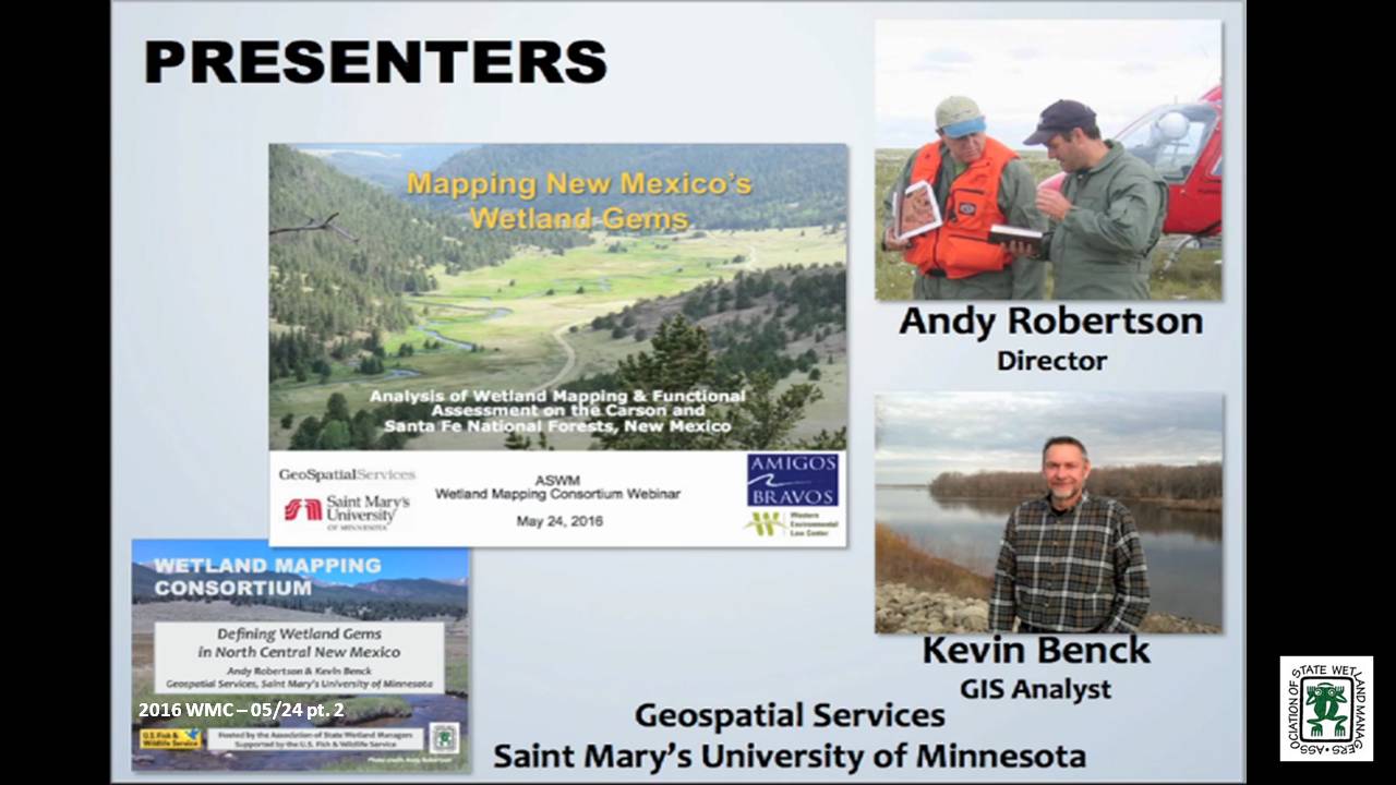
![]()
![]()
![]()
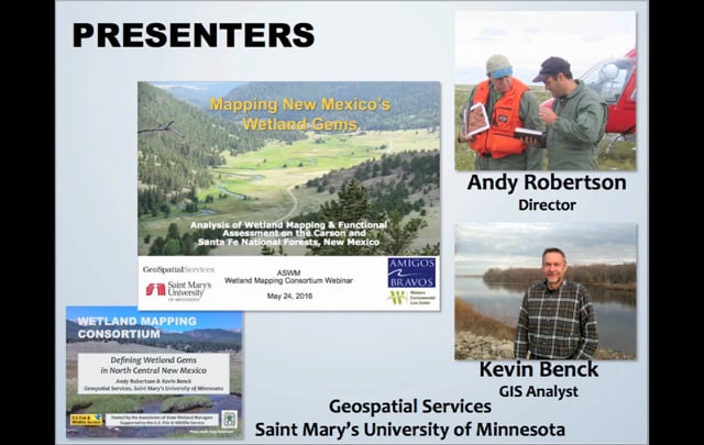

Wetland Mapping Consortium Workshop Webinars
The Wetland Mapping Consortium concurrent session below were held at the Association of State Wetland Managers annual meeting on March 30th.
Working towards an Automated Wetlands Mapping Process: Successes, Failures, and Potential for the Future
Held Wednesday, March 30, 2016 - 3:30 p.m.-4:00 p.m. Eastern
PRESENTER
- Robb McLeod, Ducks Unlimited
ABSTRACT
The U.S. Fish and Wildlife Service (FWS) started the operational phase of the National Wetlands Inventory (NWI) in 1979 with two main efforts: wetland mapping and wetlands status and trends. After 35 years and more than $220 million, the FWS completed the wetland mapping for the conterminous United States. Using current technology and today’s dollars, it would take approximately $260 million to remap the wetlands in the same geographic area. However, with emerging technologies and access to large amounts of remote sensing data (imagery, Lidar, Radar), there may be ways to drastically reduce the cost for mapping wetlands.
Ducks Unlimited and the Minnesota Department of Natural Resources have been utilizing semi-automated wetland mapping techniques for the Minnesota wetland mapping project. While we have made significant progress in automating some of the wetland mapping, there is still a long ways to go before a more fully automated system is developed. This presentation reviewed our system for semi-automated wetlands mapping and highlight some of the successes and failures. The presentation also looked at the potential for utilizing some of these techniques in future wetlands mapping projects.
BIO
 Robb Macleod is the National GIS Coordinator for Ducks Unlimited. He has been working for Ducks Unlimited in the GIS and Remote Sensing field for over 20 years. His current duties include corrdinating all of the geospatial activities for Ducks Unlimited. Robb has been active in mapping wetlands in the Great Lakes for over 10 years with previous experience mapping wetlands and land cover in Alaska.
Please click only once on each video recording to view in this window.
Part 1: Introduction: Marla Stelk, Policy Analyst, ASWM
![]()
Presenter: Robb McLeod, Ducks Unlimited ![]()
![]()
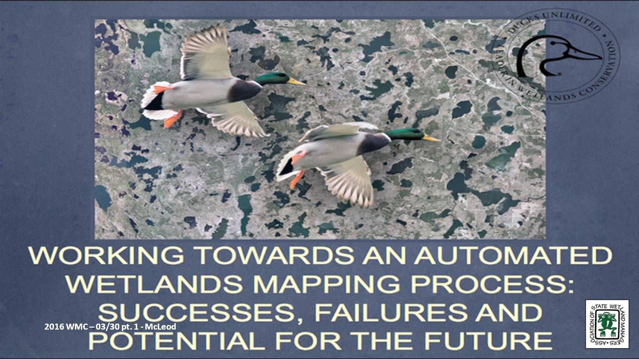
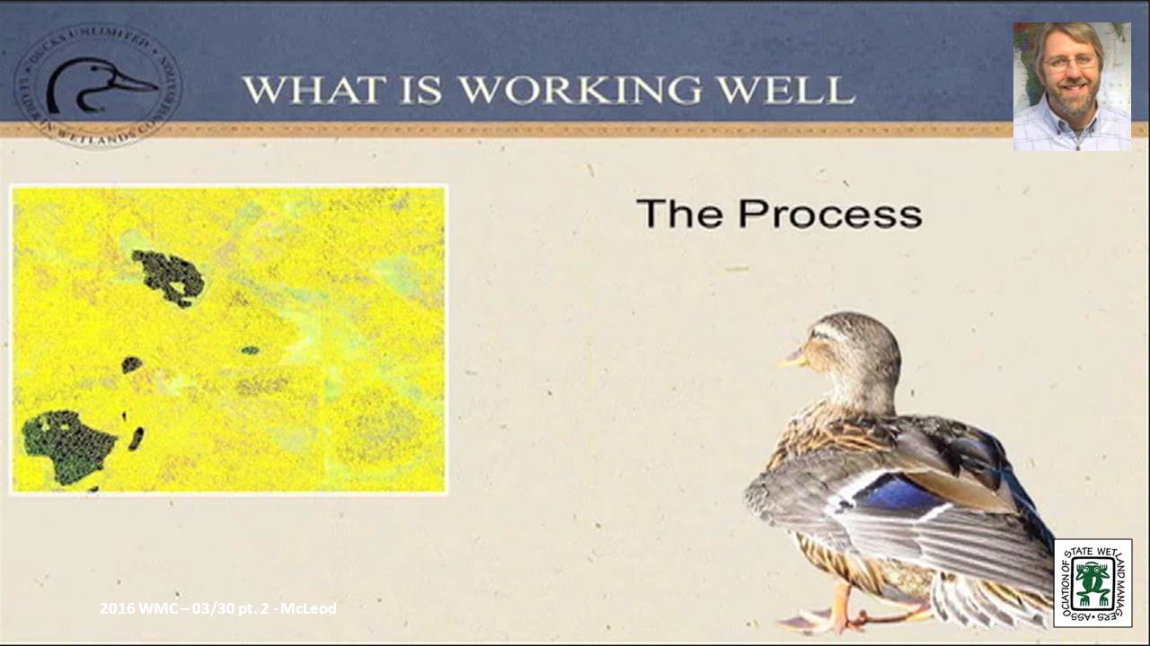
![]()
![]()
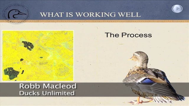
![]()
Multi-Criteria Restoration Prioritization: Applying Landscape Level Wetland Functional Assessments for Watershed Planning & Decision Support
Held Wednesday, March 30, 2016 - 4:00 p.m.-4:30 p.m. Eastern
PRESENTER
- Andy Robertson, Saint Mary's University of Minnesota
ABSTRACT
The Wisconsin Department of Natural Resources and Saint Mary’s University of Minnesota GeoSpatial Services (GSS) have recently started work on a detailed wetland functional assessment of the Marengo River Watershed within the Lake Superior Basin of Northern WI. The Marengo River has been identified as a key watershed for restoration efforts funded through the Great Lakes Restoration Initiative. Infrastructure and strong support for watershed conservation activities exists within the Lake Superior Basin Partnership, the Chequamegon Bay Partnership and the Bad River Watershed. However, some of the detailed current wetland information needed to prioritize wetland restoration and conservation is not available. This project is supplying the information needed to identify restoration opportunities at the parcel level and demonstrate how a functional assessment of existing wetlands can support prioritization of conservation opportunities. This webinar will summarize project activities to date.
Work includes development of a feasibility matrix for evaluating wetland restoration opportunities which defines characteristics for prioritizing and directing investments in wetland restoration activity based on such factors such as: watershed needs, funding, local planning, land ownership, historic and predicted climate patterns, and PRW location. This includes the development of a list of feasibility categories such as ecological, social and economic as well as a method for comparing historic distribution of wetlands (PRW) with current wetland locations dissected by current property ownership. This will permit the compilation of contact lists for distribution of educational materials and the communication of stakeholder engagement opportunities to land owners/wetland locations that have a real opportunity to impact watershed issues. It will also provide government decision makers with data to support planning, zoning and bylaw decisions.
BIO
After serving as lead Project Manager for over 10 years, Andy Robertson assumed the position of GeoSpatial Services Director in 2015. In this role, Andy is responsible for oversight and management of all GeoSpatial Services projects, activities and staff. He continues to lead the management of project resources for a wide range of wetland mapping, spatial data development, and natural resource related projects as well as provide supervision and development for technical staff. Andy earned a Forest Technology Diploma from Sault College of Applied Technology in Ontario, Canada, a B.Sc. in Environmental Science from the University of Waterloo and completed post graduate work in forest management at the University of Toronto. GeoSpatial Services has been a key partner of the USFWS and has been working for over 15 years to update legacy National Wetland Inventory data nation-wide.
Please click only once on each video recording to view in this window.
Part 3: Presenter: Andy Robertson, Saint Mary's University of Minnesota
![]()
![]()
![]()
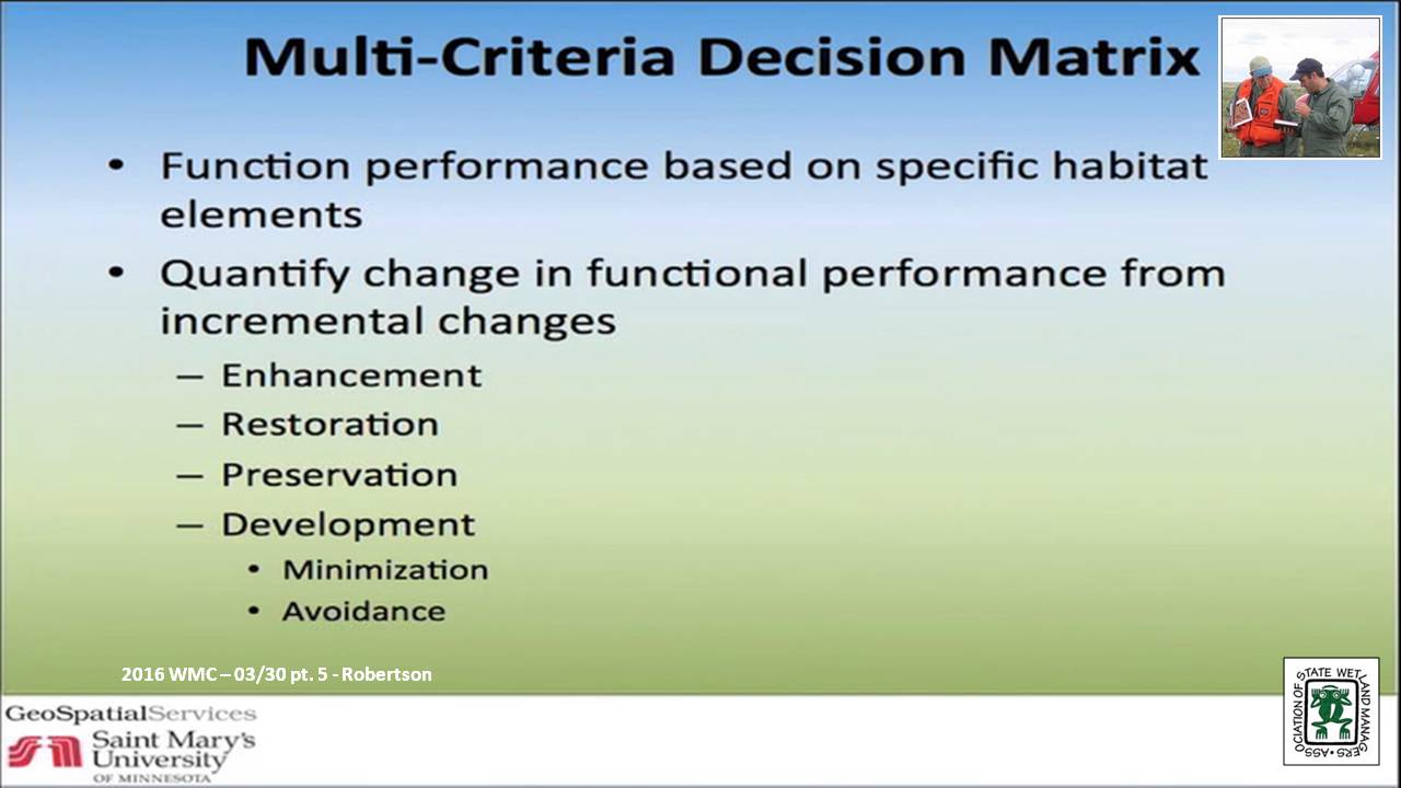
![]()
![]()
![]()
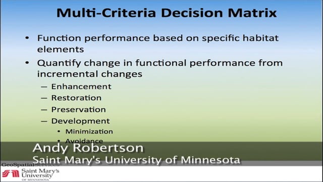
National Wetlands Inventory Version 2 – Surface Waters and Wetlands
Held Wednesday, March 30, 2016 - 4:30 p.m.-5:00 p.m. Eastern
PRESENTER
- Mitch Bergeson, U.S. Fish & Wildlife Service
ABSTRACT
The NWI 2.0 dataset is a more comprehensive characterization of all surface water features on the landscape. It stems from the need to represent all surface waters and wetlands as polygons in a single geospatial dataset to facilitate accurate area calculations and provide consistent, standardized ecological classification to allow for adaptive management, geospatial summaries, and modeling. The NWI 2.0 has been created by retaining the wetland and deepwater polygons that compose the NWI digital wetlands spatial data layer and reintroducing any linear wetland or surface water features that were orphaned from the original NWI hard copy maps by converting them to narrow polygonal features. Additionally, the data are supplemented with hydrography data, buffered to become polygonal features, as a secondary source for any single-line stream features not mapped by the NWI and to complete segmented connections.
Due in part to how wetlands were mapped in the past, coupled with improved geospatial processing techniques, the NWI 2.0 dataset is a departure from the legacy NWI data in several ways. The NWI 2.0 depicts all surface water and wetland features in a single database; it applies the FGDC Classification of Wetlands and Deepwater Habitats (Cowardin et al. (1979), system to provide consistent ecological descriptors intended to address wetlands and water bodies; and it imparts new and improved information about wetland extent and hydrologic connectivity.
There are many opportunities to apply NWI 2.0 data to assist in resource management, planning, and strategic habitat conservation efforts. Applications include various geospatial analyses, tracing contaminant pathways through aquatic systems, identifying and prioritizing habitat restoration opportunities, examining continuity or dissection of habitat corridors, quantifying aquatic and wetland resource types, and facilitating ecological modeling.
BIO
 Mitch Bergeson is the Project Lead for the US Fish and Wildlife Service's, National Standards and Support Team (NSST) in Madison WI, which manages the National Wetlands Inventory database, Wetlands Mapper and the Wetlands Status and Trends Projects. Mitch has over 20 years of experience in the natural resource and geospatial fields and holds a B.S. in Biology from the University of Wisconsin - Stevens Point and an M.S. in Wildlife Ecology and Certificate Degree in GIS, both from the University of Wisconsin – Madison.
Please click only once on each video recording to view in this window.
Part 5: Presenter: Mitch Bergeson, U.S. Fish & Wildlife Service
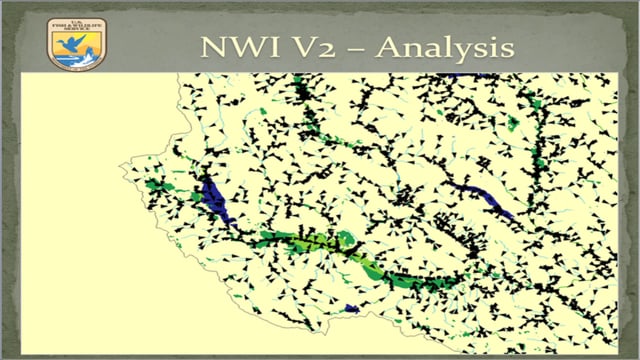
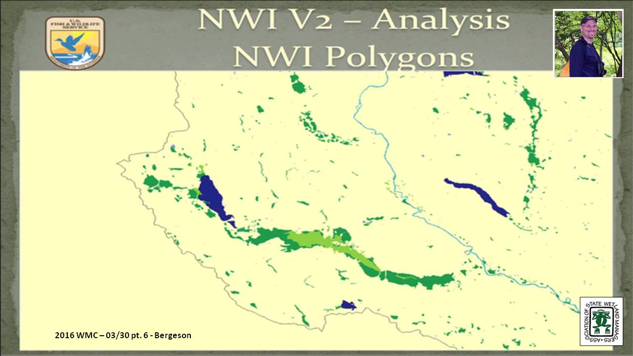
![]()
Updated Data Collection Procedures and Requirements for Meeting FGDC Wetland Mapping Standards
Held Wednesday, February 17, 2016 – 3:00 p.m. Eastern
INTRODUCTION
- Marla Stelk, Policy Analyst,Association of State Wetland Managers [PRESENTATION PDF]
PRESENTER
- Rusty Griffin, U.S. Fish and Wildlife Service's, National Standards and Support TeaM [PRESENTATION PDF]
ABSTRACT
In June 2015, the National Wetland Inventory updated their data collection procedures and requirements. This webinar explained the major changes to data collection and elaborates on the data requirements for submission to the national dataset. Specifically the webinar focused on new classification restrictions placed on water regimes and the updated quality control tools used to verify data consistency.
BIO
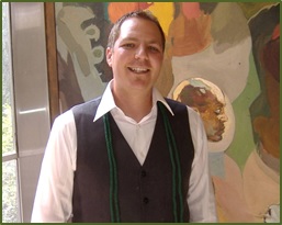 Rusty Griffin is a Physical Scientist for the U.S. Fish and Wildlife Service's, National Standards and Support Team in Madison Wisconsin. He is the National Wetlands Coordinator for the National Wetlands Inventory, responsible for quality assurance/quality control and national consistency for the wetlands layer of the National Spatial Data Infrastructure. Rusty has over 8 years of experience in wetland mapping – creating NWI maps as a private contractor and a federal employee, holds a B.S. in Geology from Portland State University, and is a member of the National Technical Committee for Hydric Soils.
Please click only once on each video recording to view in this window.
Part 1: Introduction: Marla Stelk, Policy Analyst, ASWM
Presenter: Rusty Griffin, U.S. Fish and Wildlife Service's, National Standards and Support Team
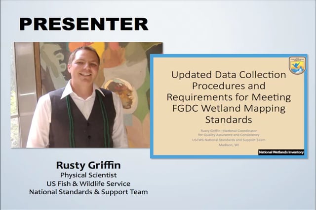
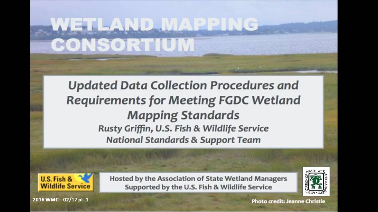
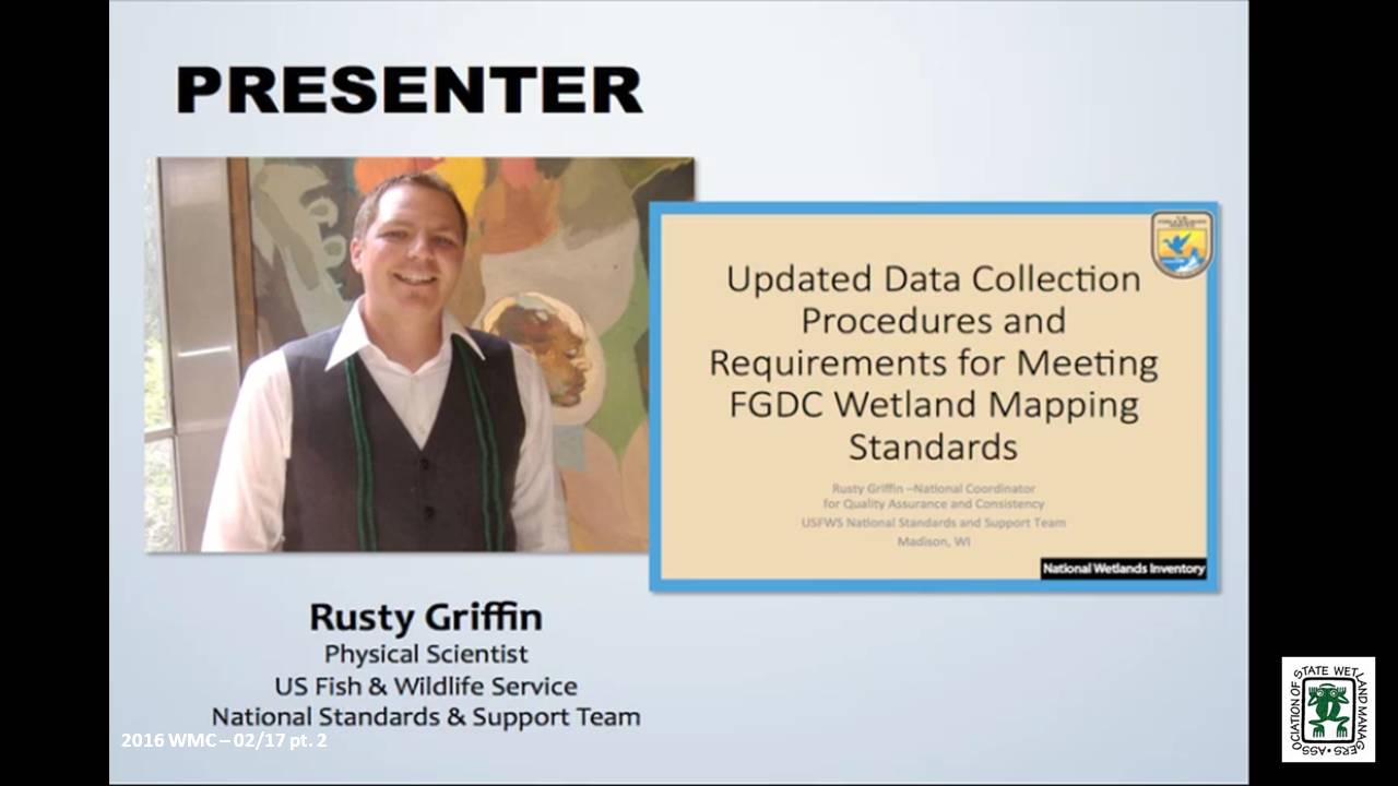
![]()
Changes in the FGDC Wetland Classification Standard – Cowardin 2.0
Held Thursday, January 28, 2016 – 3:00 p.m. Eastern
INTRODUCTION
- Marla Stelk, Policy Analyst, Association of State Wetland Managers [PRESENTATION PDF]
PRESENTER
- Rusty Griffin, U.S. Fish and Wildlife Service's, National Standards and Support Team [PRESENTATION PDF]
ABSTRACT
The second version of the Cowardin Classification system was adopted as the federal standard in 2013. This webinar provided an overview of the classification hierarchy and outlined the updates and revisions of this new standard. It clarifies classification breaks between systems, classes, and subclasses, specific to mapping wetlands using the FGDC’s wetland mapping standard; and also provides information regarding wetland data submission and inclusion in the national dataset.
BIO
Rusty Griffin is a Physical Scientist for the U.S. Fish and Wildlife Service's, National Standards and Support Team in Madison Wisconsin. He is the National Wetlands Coordinator for the National Wetlands Inventory, responsible for quality assurance/quality control and national consistency for the wetlands layer of the National Spatial Data Infrastructure. Rusty has over 8 years of experience in wetland mapping – creating NWI maps as a private contractor and a federal employee, holds a B.S. in Geology from Portland State University, and is a member of the National Technical Committee for Hydric Soils.
Please click only once on each video recording to view in this window.
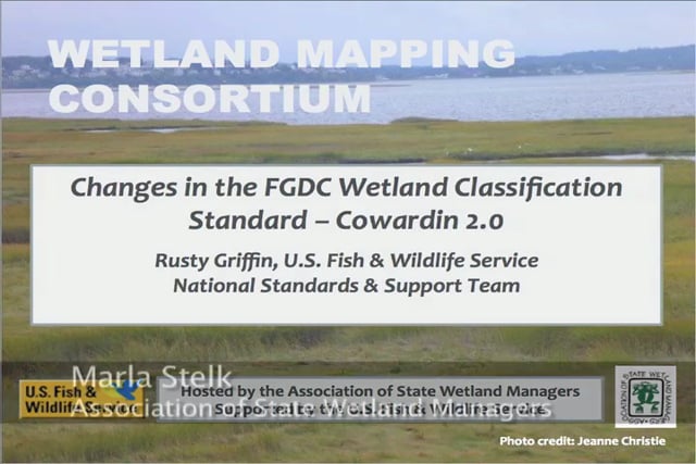
Part 1: Introduction: Marla Stelk, Policy Analyst, Association of State Wetland Managers
Presenter: Rusty Griffin, U.S. Fish and Wildlife Service's, National Standards and Support Team
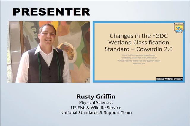
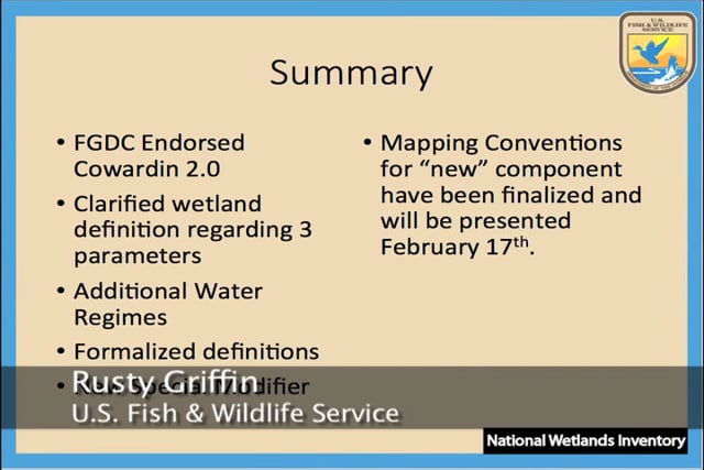
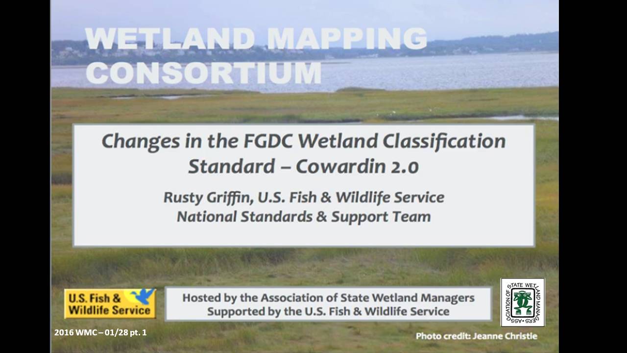
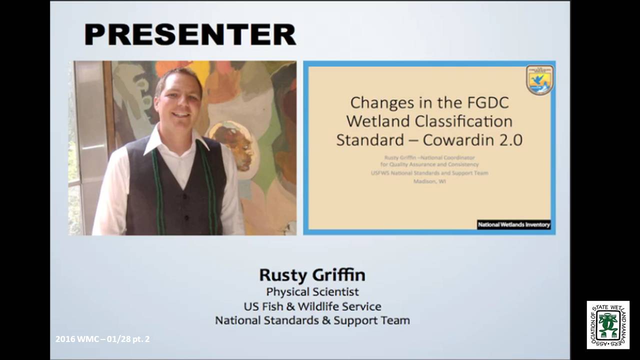
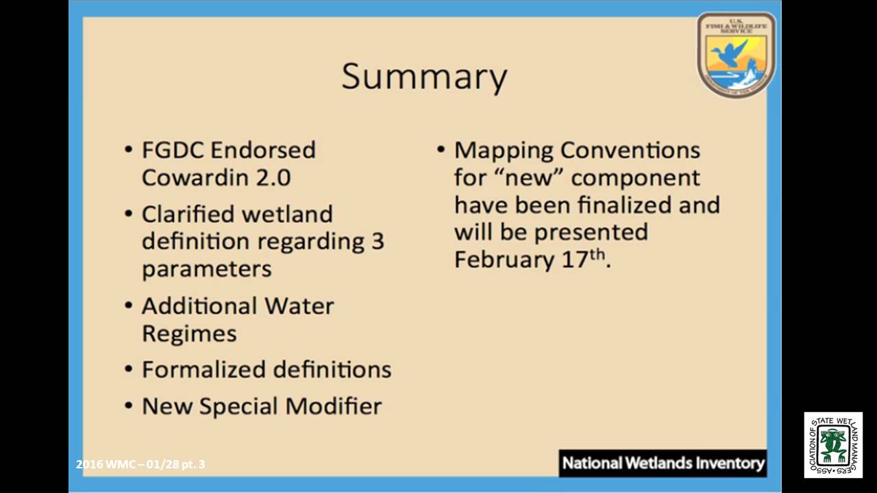
![]()
View Past Wetland Mapping Consortium Webinars
List of Past Wetland Mapping Consortium Webinar Recordings
View Upcoming Wetland Mapping Consortium Webinars
An Introduction to the Marsh Adaptation Strategy Tool (MAST)
Tuesday, November 3, 2015 – 3:00 p.m. EST
- Dr. Samuel Merrill, GEI Consultants, Inc.
ABSTRACT
Dr. Merrill will describe the Marsh Adaptation Strategy Tool (MAST) and show results from several case studies. The main principle behind the software is that as dry parcels become inundated by rising sea levels, some will convert to wetlands and may create a range of monetary and non-monetary ecosystem services. With results from online Delphi surveys where local participants assign values to candidate parcels, MAST then uses depth-benefit functions reflecting how these services will change over time on each candidate parcel, and through topographic analysis calculates cumulative benefits over time. The benefits can then be compared between parcels to help identify the best option for acquisition, restoration, or development.
Part 1: Introduction: Jeanne Christie, ASWM
Presenter: Dr. Samuel Merrill, GEI Consultants, Inc.
INTRODUCTION
- Marla Stelk, Policy Analyst, ASWM and Jeanne Christie, ASWM [PRESENTATIONS-PDF]
PRESENTERS
- Will Harman, Owner, Stream Mechanics
- Matt Daniels, Principal Engineer/Project Manager, River Design Group, Inc.
ABSTRACTS
Will Harman
Determining Functional Lift of Stream/Wetland Restoration Projects
As compensatory stream mitigation increases, a recognized need for debit/credit determination methods for stream/wetland combinations is also increasing. Most mitigation guidelines account for wetland and stream debits/credits separately. However, Interagency Review Teams and practitioners realize that there is value in restoring valley corridors that support riverine and wetland functions together. This presentation will illustrate how the Stream Functions Pyramid Framework can be used as one tool for describing functional lift of stream/wetland complexes. Case studies will be provided to show metrics and performance standards for showing functional lift, along with lessons learned from implementing these types of projects.
Matt Daniels
Use of an Ecosystem-based Approach for Stream and Wetland Restoration
The need for stream and wetland restoration projects in the western U.S., in particular the Northern Rockies and Columbia River Basin, is often driven by different mitigation objectives than those in the eastern U.S. The effects of large hydropower dams, extensive mining in headwater streams and grazing of riparian floodplains have altered migration corridors and aquatic habitat used by native fish populations, thus contributing to the listing of several threatened and endangered fish species. Extensive research has been undertaken to improve our understanding of these species' life history needs and the ecosystems in which they exist. This presentation will describe some of the restoration challenges that are unique to the western U.S in the context of addressing stream and wetland mitigation. Example projects will be used to illustrate the use of an ecosystem-based restoration approach and to highlight some of the lessons learned.
Part 1: Introduction: Marla Stelk, Policy Analyst, ASWM and Jeanne Christie, ASWM
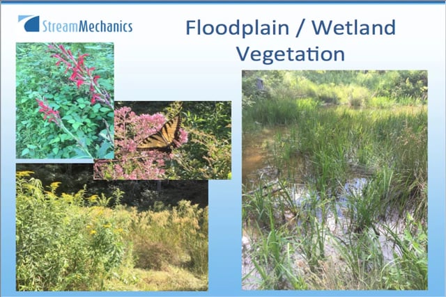


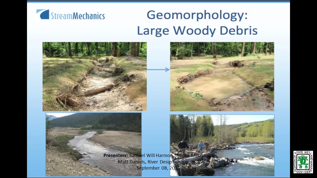
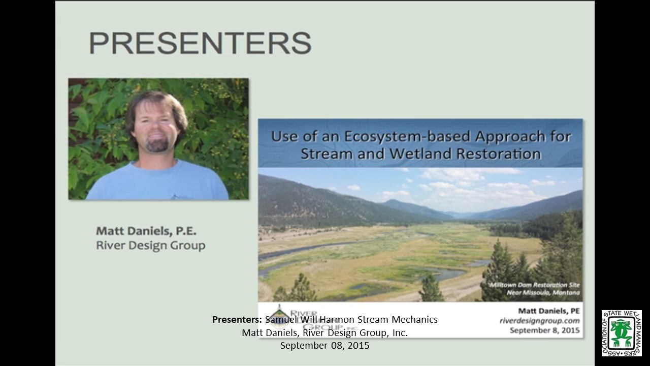
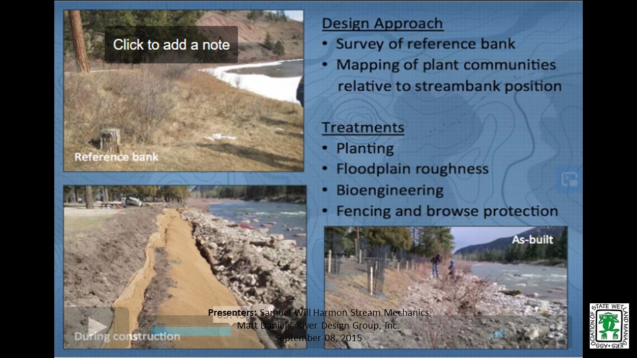


Managing Water Where It Falls: Green Infrastructure in Milwaukee, Wisconsin
Tuesday, July 21, 2015 – 3:00 p.m. ET
INTRODUCTION
- Marla Stelk, Policy Analyst, ASWM [PRESENTATION-PDF]
PRESENTER
- Kevin L. Shafer, Milwaukee Metropolitan Sewerage District (MMSD), Executive Director
ABSTRACT
Rainfall patterns are changing. Population and land use are changing. To keep up with this change, urban water management must adapt. Water can no longer only be managed by building bigger pipes and treatment facilities. Urban water management must evolve to an approach of managing water where it falls and consider the entire drainage area regardless of political boundaries. Green infrastructure provides an approach for managing water in our urban headwaters. Milwaukee, Wisconsin started using these approaches in 2002 and is integrating these efforts into the infrastructure fabric of the region.
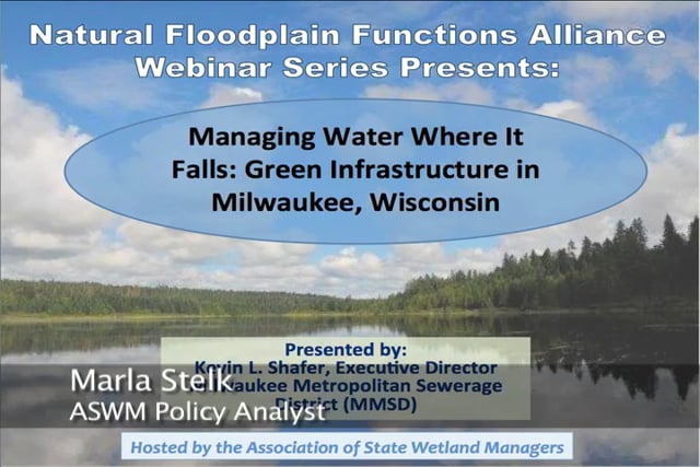
Part 1: Introduction: Marla, Stelk, Policy Analyst, ASWM
Presenter: Kevin L. Shafer, Milwaukee Metropolitan Sewerage District (MMSD)
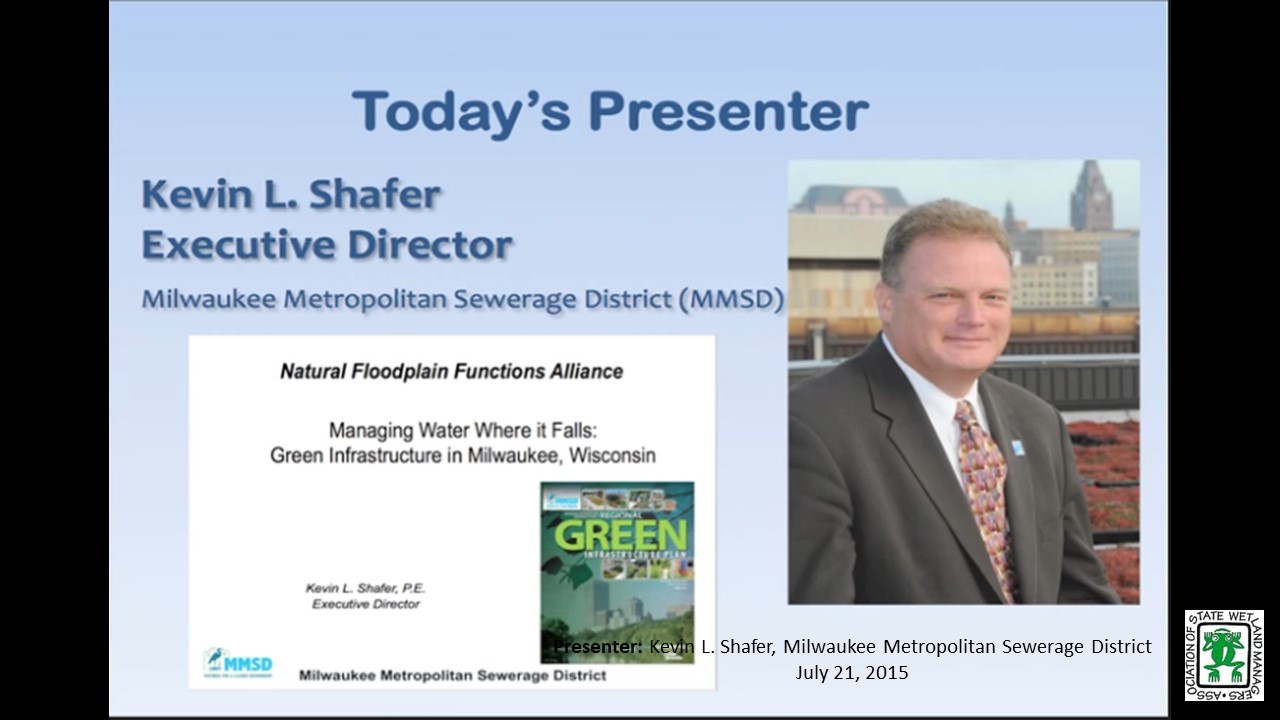
![]()
Square Peg, Round Hole –Maximizing Conservation in a Flood-Insurance Construct
Tuesday, May 5 – 3:00 p.m. EDT
INTRODUCTION
- Marla Stelk, Policy Analyst, ASWM [PRESENTATION-PDF]
PRESENTER
- Bonnie Shorin, NOAA
ABSTRACT
West Coast conservation issues are salmon centric. As 26 species of west coast salmon are endangered or threatened by the risk of extinction, NMFS is continually engaged in Section Seven consultations with sister federal agencies, reviewing effects of their actions on these species and their habitat. NMFS’ review of FEMA’s National Flood Insurance Program has been complex at every turn, but the outcome has been consistent: the current program is degrading critical habitat, and making species recovery more unlikely. NMFS’ challenge is to offer viable program changes to FEMA– called Reasonable and Prudent Alternatives – to reduce the NFIP’s impact on natural and beneficial functions of floodplains.
Part 1: Introduction: Marla, Stelk, Policy Analyst,ASWM
Presenter: Bonnie Shorin, NOAA
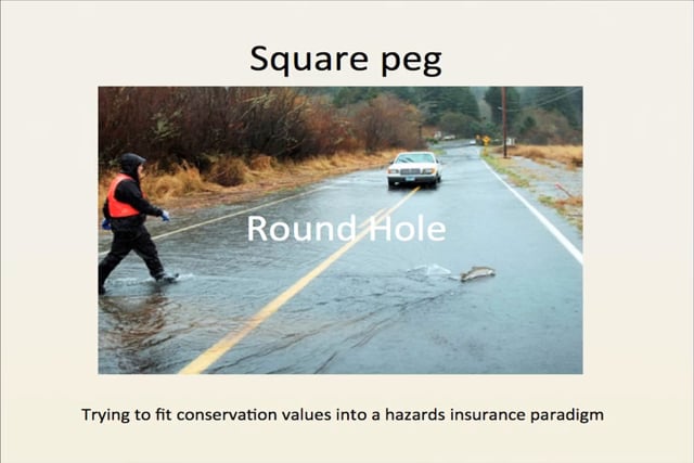
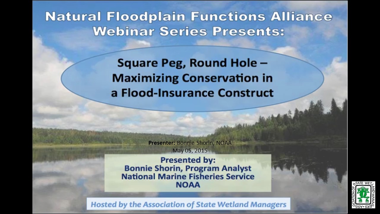
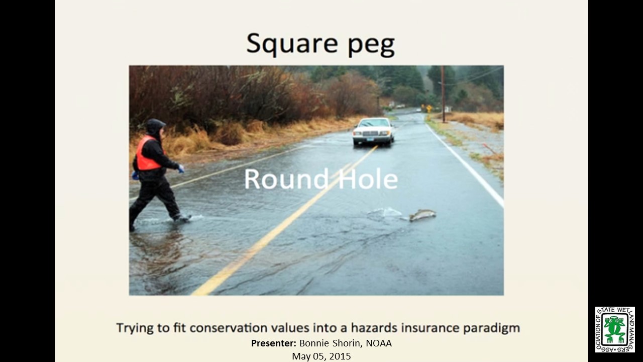
![]()
EPA Adaptation Workbook: Lessons Learned in San Juan Bay, Puerto Rico
Tuesday, March 3 – 3:00 p.m. EST
INTRODUCTION
- Marla Stelk, Policy Analyst, ASWM [PRESENTATION-PDF]
PRESENTER
- Michael Craghan, Climate Ready Estuaries Program, U.S. EPA
ABSTRACT
EPA’s Climate Ready Estuaries published "Being Prepared for Climate Change: A Workbook for Developing Risk-Based Adaptation Plans" to provide much needed guidance for conducting risk-based climate change vulnerability assessments and developing adaptation action plans. The workbook helps users identify, analyze and prioritize climate change risks. It then guides them to address their most pressing risks and find appropriate responses. Climate change, once considered an issue for a distant future, has moved firmly into the present. By using the workbook users will be ready to protect environmental resources, public safety, and infrastructure.
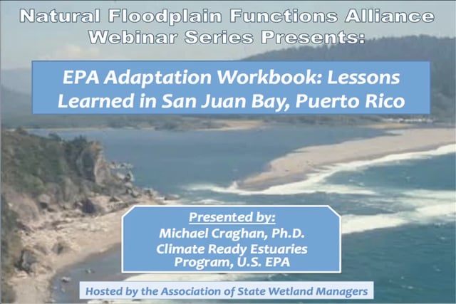
Part 1: Introduction: Marla, Stelk, Policy Analyst, ASWM
Presenter: Michael Craghan, Climate Ready Estuaries Program, U.S. EPA
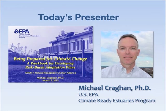
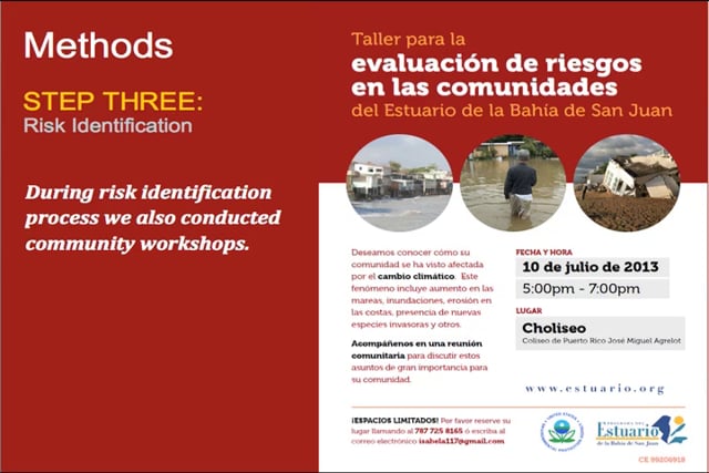
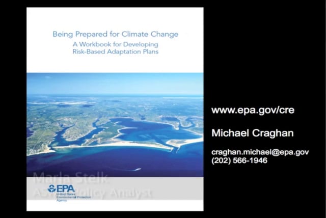
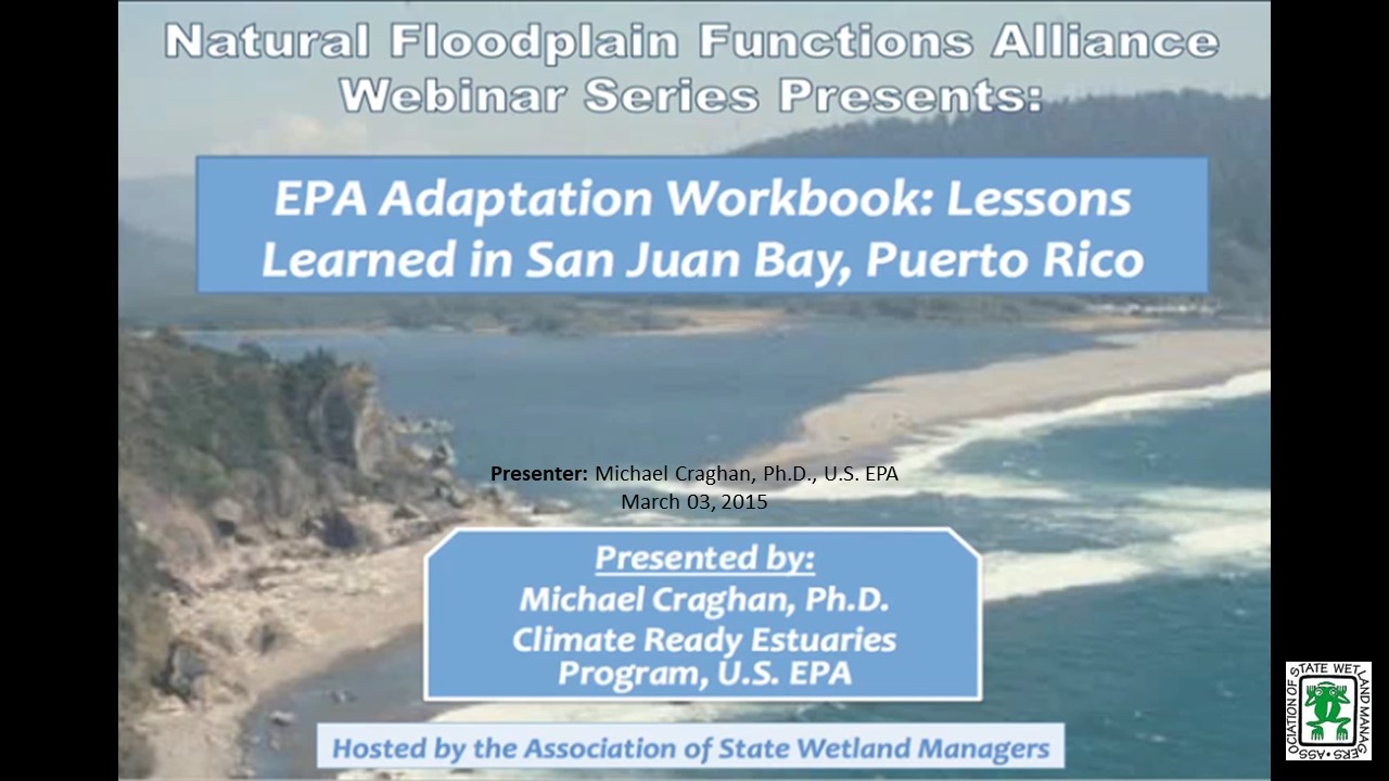
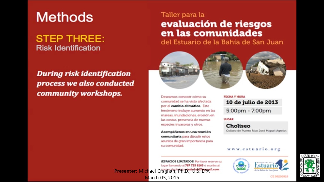
![]()
Rooftops to Rivers: Lessons Learned from Tulsa, Oklahoma’s Successful Floodplain Management Program
Tuesday, January 6, 2015 – 3:00 p.m. ET
INTRODUCTION
- Marla Stelk, Policy Analyst, ASWM [PRESENTATION-PDF]
PRESENTER
- Ronald D. Flanagan, CFM & Principal Planner, R.D. Flanagan & Associates, LLC
ABSTRACT
Tulsa, Oklahoma’s history is rife with stories of devastating floods, starting as far back as the early 1900’s. Due to the hard work, dedication and ingenuity of several key players, Tulsa now has an innovative floodplain management program that can be used as a model for other communities struggling with similar issues. Ronald Flanagan, CFM and Principal Planner of Flanagan & Associates, was and continues to be a leader in these efforts. Mr. Flanagan will share the story of Tulsa’s flooding history and the development of their floodplain management program and will share insights and lessons learned from his more than 35 years of experience.
Part 1: Introduction: Marla, Stelk, Policy Analyst, ASWM
Presenter: Ronald D. Flanagan, CFM & Principal Planner, R.D. Flanagan & Associates, LLC
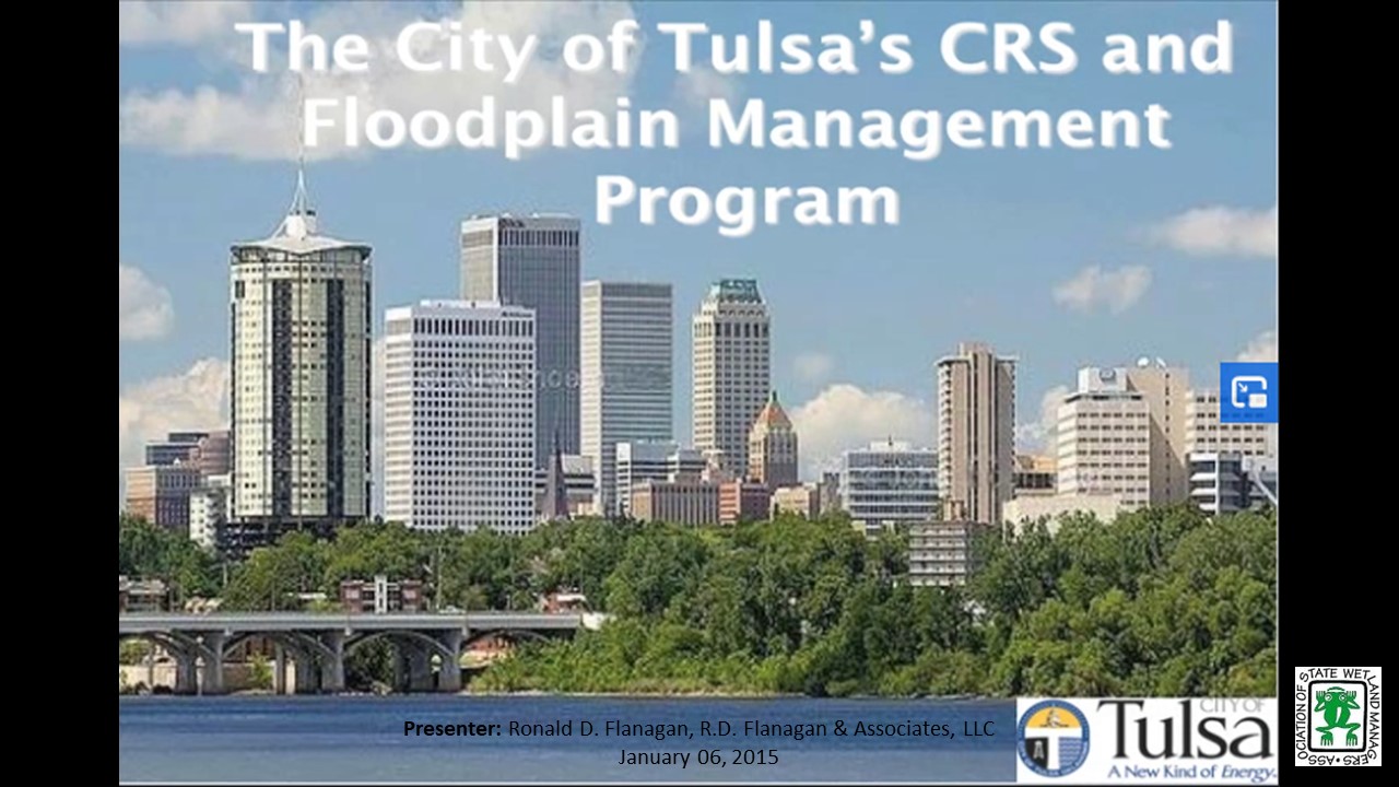
View Past Natural Floodplain Functions Alliance Webinars
Past List of Past Natural Floodplain Functions Alliance Webinar Recordings
![]()
Thank you to all the Speakers and Participants for making the
2023 Annual meeting a great success!
![]()
|
Contacts Agenda Marla Stelk, Executive Director General Information Laura Burchill, Office Manager |
Thank you to our Sponsors
|
Publications
 The Association conducts research and publishes reports, guidebooks, news articles, brochures, white papers, and summaries of findings of symposia and workshops. These are available electronically to all interested individuals and organizations.