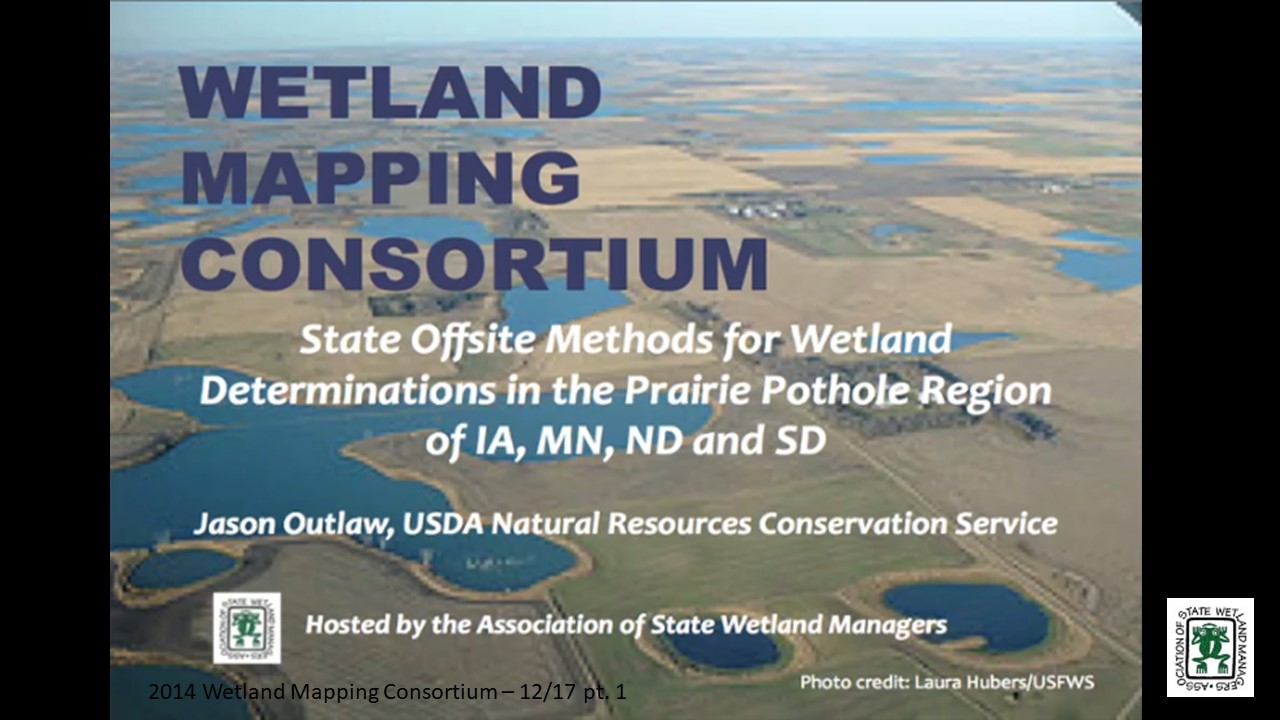
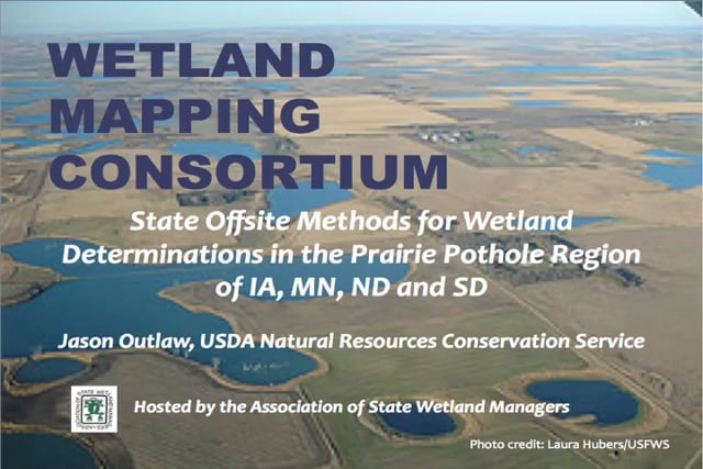
State Offsite Methods for Wetland Determinations in the Prairie Pothole REgion of IA, MN, ND and SD
Held Wednesday, December 17, 2014 – 3:00 p.m. ET
INTRODUCTION
- Marla Stelk, Policy Analyst, Association of State Wetland Managers [PRESENTATION PDF]
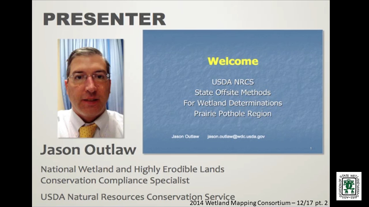
PRESENTER
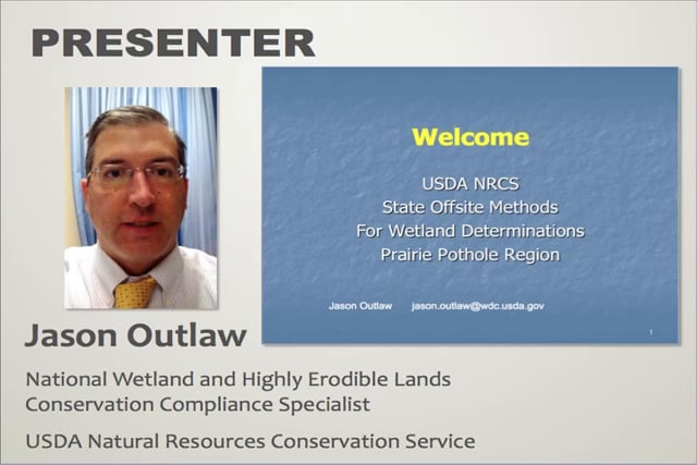
- Jason Outlaw, USDA Natural Resources Conservation Service [PRESENTATION PDF]
ABSTRACT
This presentation provided an overview of the proposed revisions to State Offsite Methods for wetland determinations in the Prairie Pothole Region. These offsite methods are designed specifically to identify wetlands subject to the wetland conservation provisions of the Food Security Act of 1985, as amended (aka. Swampbuster). Currently, these methods have been posted in the Federal Register for notice and comment for a period of 90 days, ending approximately February 5th.
BIO
 Jason Outlaw has been an employee of the Natural Resources Conservation Service for approximately 12 years, serving as a soil conservationist, soil scientist, and currently as the National Wetland and Highly Erodible Lands Conservation Compliance Specialist. He has experience in soil mapping and several years of experience identifying wetlands utilizing both onsite and offsite methodologies.
Please click only once on each video recording to view in this window. Part 1: Introduction: Marla Stelk, Policy Analyst, Association of State Wetland Managers![]()
Presenter: Jason Outlaw, USDA Natural Resources Conservation Service![]()
![]()
![]()
![]()
![]()
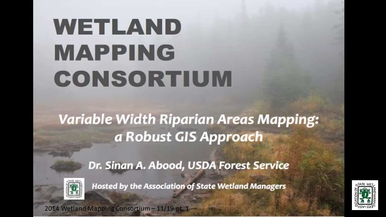
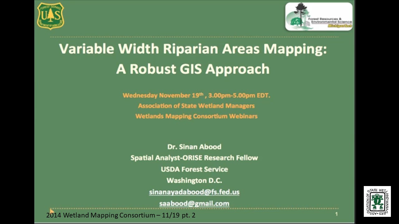
A Variable Width Riparian Areas Mapping: A Robust GIS Approach
November 19, 2014 – 3:00 p.m. ET
INTRODUCTION
- Marla Stelk, Policy Analyst, Association of State Wetland Managers [PRESENTATION PDF]
PRESENTER
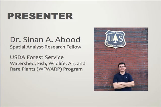
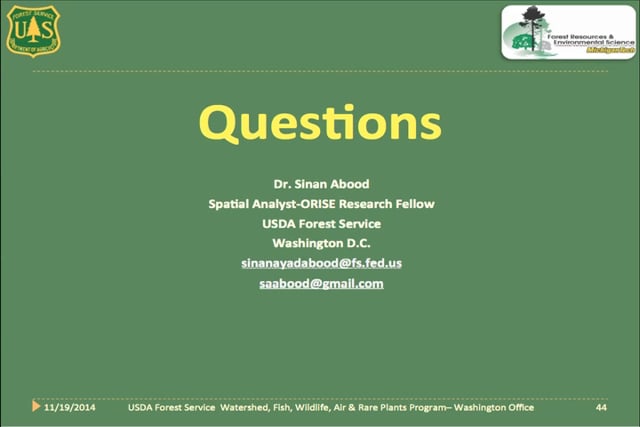
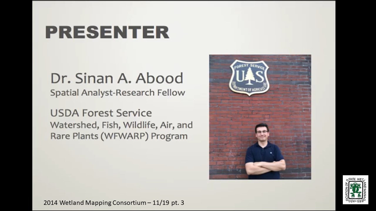
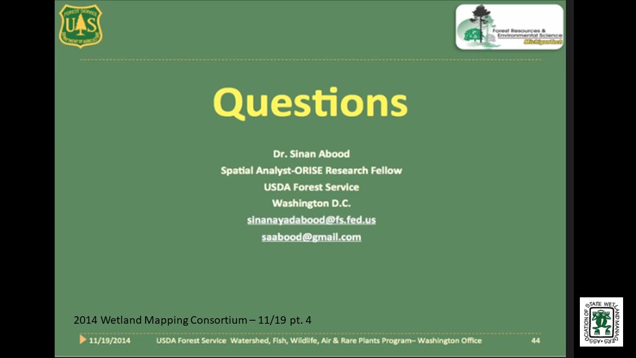
- Sinan A. Abood, USDA Forest Service [PRESENTATION PDF]
ABSTRACT
Riparian areas are dynamic, transitional ecotones between aquatic and terrestrial ecosystems with well-defined vegetation and soil characteristics. These areas offer wildlife habitat and protect stream water quality, protect against erosion, and other numerous valuable ecosystem functions. Quantifying and delineating riparian areas is an essential step in riparian monitoring, riparian management and policy decisions. The goal of this webinar was to present a cost effective, robust workflow to consistently map the geographic extent and composition of variable width riparian areas utilizing GIS and open-source data. This approach recognizes the dynamic and transitional nature of riparian areas by considering hydrologic, geomorphic and vegetation data as inputs.
BIO
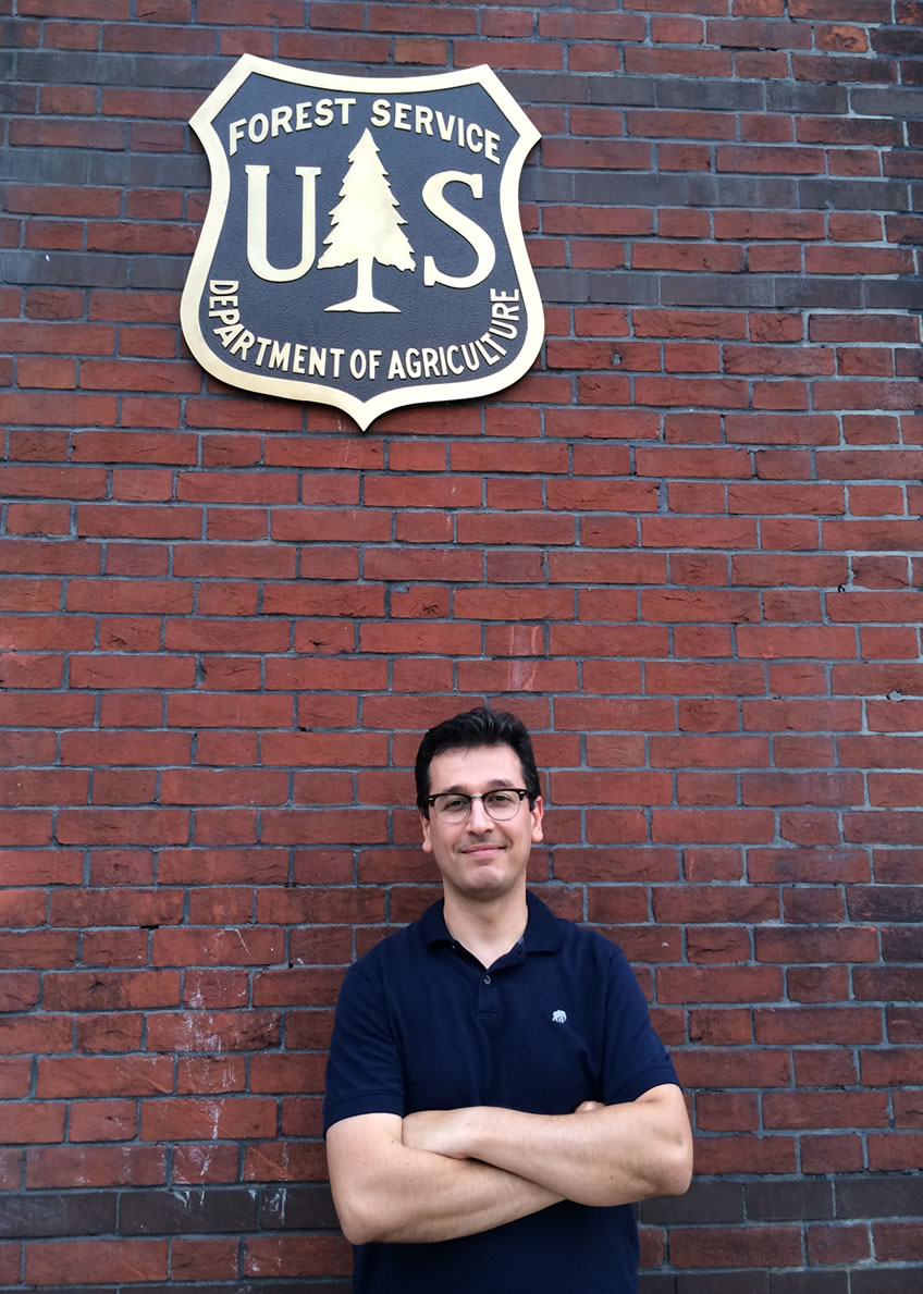 Sinan A. Abood holds a Bachelor's degree in Chemical Engineering, University of Bagdad, Iraq. Master's of Science in Environmental Engineering/Water Treatment, 2007 (Fulbright scholarship) and PhD. in Environmental Engineering/ GIS & Remote Sensing Applications, 2011 at the School of Forest Resources & Environmental Science-Michigan Technological University. His first postdoctoral assignment was with the Institute of Terrestrial Ecosystems at the Swiss Federal Institute of Technology ETH Zurich, Switzerland (2011-2014) as a Research Fellow working on estimating the role of land extracting industries (oil palm plantation, acacia/pulp, and logging) on natural habitats loss and measures the impacts of land cover change on tropical biodiversity in Southeast Asia. Currently he is performing his second postdoctoral assignment as a Spatial Analyst-Research Fellow with the Watershed, Fish, Wildlife, Air, and Rare Plants (WFWARP) program, Washington Office USDA Forest Service. His research focuses on three main objectives, developing a spatial integration between two national monitoring systems the Watershed Condition Classification (WCC) and Terrestrial Condition Assessment (TCA) within one unified reporting frame the Watershed Classification Frame (WCF), developing a riparian areas inventory/monitoring system for National Forest and Rangelands utilizing the Riparian mapping tool (RBDM), and incorporating the use of Unmanned Aerial Systems (UAS) applications in forest monitoring, wildlife applications, illegal logging, surveying and ecosystem managements.
Please click only once on each video recording to view in this window.
Part 1: Introduction: Marla Stelk, Policy Analyst, Association of State Wetland Managers Presenter: Sinan A. Abood, USDA Forest Service
![]()
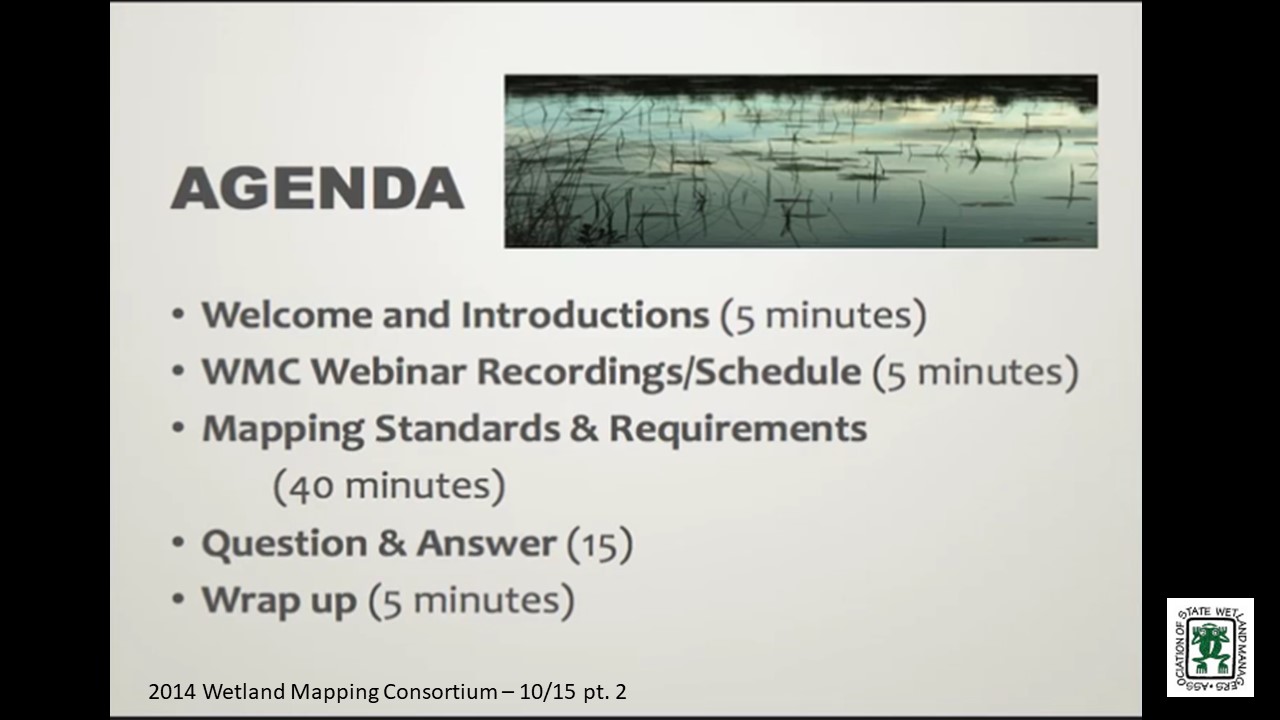
Mapping Standards & Requirements
Held Wednesday, October 15, 2014 - 3:00 p.m. ET
INTRODUCTION
- Marla Stelk, Policy Analyst, Association of State Wetland Managers [PRESENTATION PDF]
PRESENTER
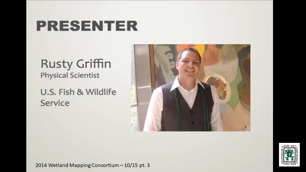
- Rusty Griffin, U.S. Fish & Wildlife Service [PRESENTATION PDF]
ABSTRACT
With the completion of digital wetland mapping for the lower 48 states and Hawaii, the National Wetlands Inventory (NWI) is transitioning its mission of creating wetland maps to maintaining and updating the wetlands layer of the National Spatial Data Infrastructure (NSDI). This data stewardship role will rely on our stakeholders, such as Federal, State, Tribal and territorial agencies to assume more wetland mapping responsibilities and to produce new and updated wetland data for their areas of interest. This presentation outlined data requests and submission procedures to ensure wetland data are compliant with federal standards and integrated into the NSDI. It also discussed wetland mapping standards and compliance with federally mandated statutes utilizing tools, models and expertise provided through a strong partnership with the NWI.
BIO
 Rusty Griffin is a Physical Scientist for the U.S. Fish and Wildlife Service's, National Standards and Support Team in Madison Wisconsin. He is the National Coordinator for quality assurance and quality control providing national consistency for the wetlands layer of the National Spatial Data Infrastructure. Rusty has over 8 years of experience in wetland mapping – creating NWI maps as a private contractor and a federal employee, holds a B.S. in Geology from Portland State University, and is a member of the National Technical Committee for Hydric Soils.
Please click only once on each video recording to view in this window.
Part 1: Introduction: Marla Stelk, Policy Analyst, Association of State Wetland Managers
Presenter: Rusty Griffin, U.S. Fish & Wildlife Service

![]()
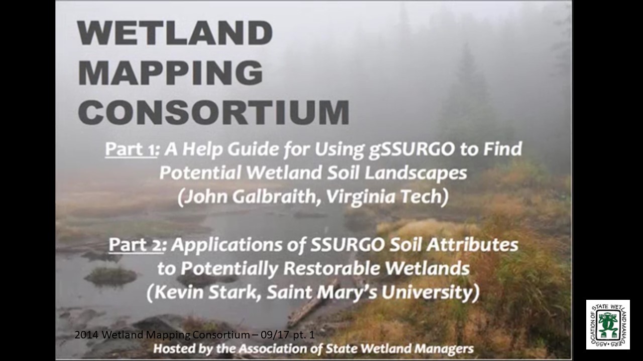
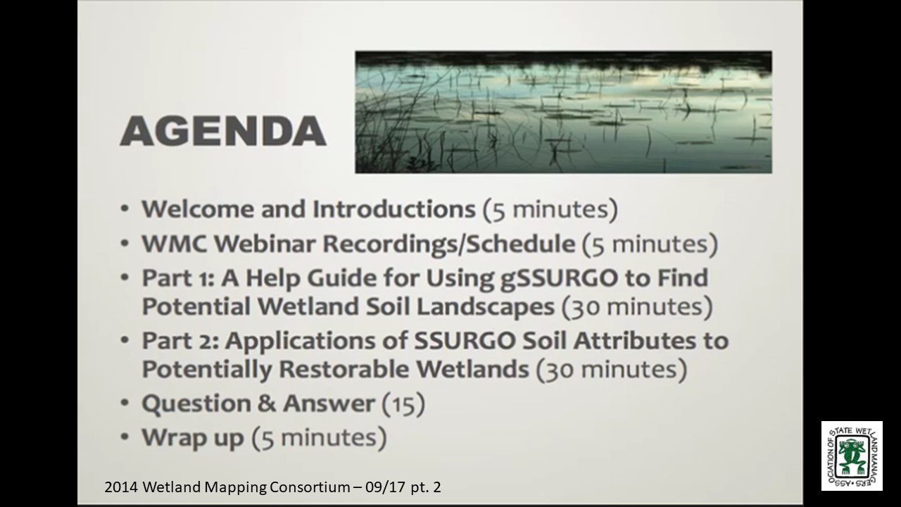
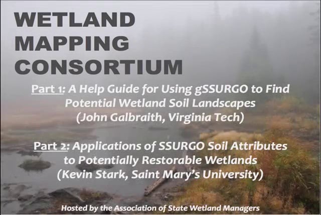
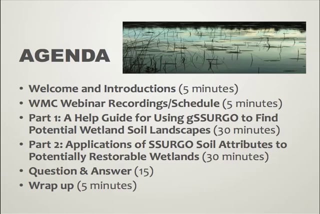
Part 1: A Help Guide for Using gSSURGO to Find Potential Wetland Soil Landscapes
Held Wednesday September 17, 2014 – 3:00 p.m. ET
INTRODUCTION
- Marla Stelk, Policy Analyst, Association of State Wetland Managers [PRESENTATION PDF]
PRESENTER
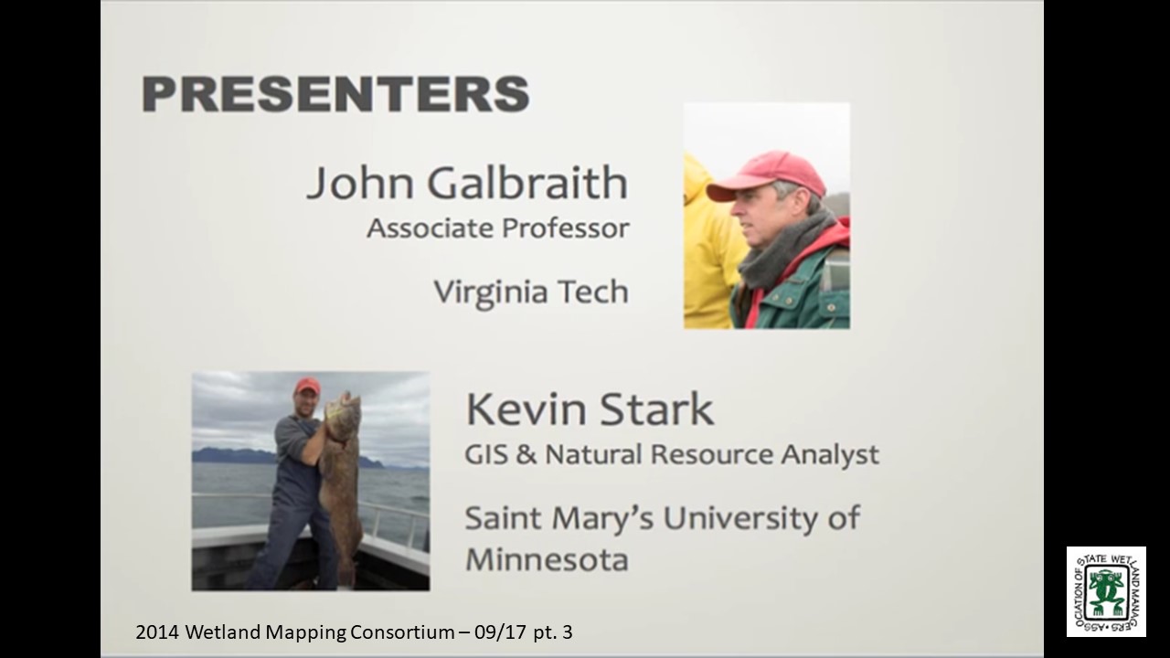
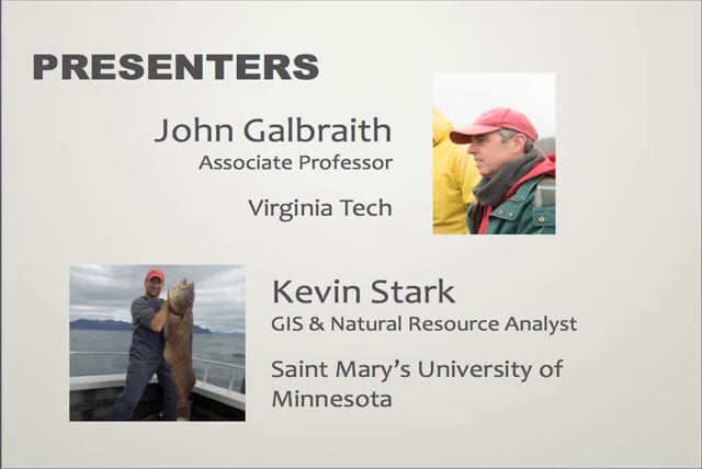
- John Galbraith, Virginia Tech [PRESENTATION PDF]
ABSTRACT
Gridded SSURGO (gSSURGO, a raster version of detailed soil survey maps) is a public domain soils data layer that can be used in combination with other data to find landscape units that have some potential for containing wetlands, or former wetlands. The presence of a hydric soil does not prove that an area is currently a jurisdictional wetland, due to significant nexus connectivity requirements. Wetland soils are hydric, and they remain hydric even if they have been drained. The premise is that if a landscape unit contains hydric soils but does not meet the hydrology or vegetation, it may have been a wetland once. If so, it can likely be more easily, reliably, and inexpensively restored than creating a wetland where none previously existed. The use of any soil survey requires knowledge of when the survey was made, the quality, scale, accuracy, and purity of the soils within mapped areas. Therefore, a help guide is in progress to provide an explanation of the gSSURGO product and some example procedures for using the product to find and understand potentially restorable wetland landscapes.
Part 2: Applications of SSURGO soil attributes to potentially restorable wetlands
PRESENTER
- Kevin Stark, Saint Mary’s University [PRESENTATION PDF]
PROJECT DESCRIPTION
A NOAA science collaborative grant has funded a project to examine wetland planning in a watershed context in Douglas County, Wisconsin. Concerns over recent large flooding events and a general concentration of wetland mitigation projects in the county have provided some of the impetus for the project. The project combines landscape-scale wetland functional assessment data and the identification of potential wetland restorations with local engagement and environmental planning.
BIOS
 John Galbraith received his B.S. and M.S. in Range and Wildlife Management at Texas Tech University. He worked for seven years as a USDA-SCS Soil Scientist in eight states. John received a Ph.D. in Soil Science at Cornell in 1997. He did a post-doc at the University of Florida, then began working at Virginia Tech in 1999. John teaches many soils and wetland courses and coaches the student soil judging team. He was a Fulbright Specialist in Nepal in 2012, he was co-lead on a study abroad course to Nepal in 2013 and has travelled to Senegal to conduct research on rice production in saline soils. John married Marilyn Braden in 1977 and they have five children and seven living grandchildren. He enjoys sports, exercise, outdoors, and nature.
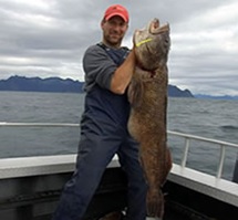 Kevin Stark is a G.I.S. and Natural Resource Analyst for GeoSpatial Services (GSS) at Saint Mary’s University of Minnesota (SMUMN), specializing in analyzing and communicating landscape scale spatial information. Kevin earned a B.S. of Forestry from the University of Wisconsin – Stevens Point and an M.S. in Geographic Information Science from Saint Mary’s University of Minnesota. Over the past eight years at GSS Kevin has worked on a variety of projects from oil industry data conversion and imagery processing to wetland mapping, wetland field verification, and natural resource condition assessments for the National Park Service, where he focused on topics such as land cover, native plant communities and natural disturbance regimes. Most recently Kevin has been engaged in wetland functional assessments. In his spare time Kevin loves scuba-diving, canoeing, gardening and especially fishing, in fact, a recent wetland field verification trip brought him to Alaska where he took a vacation day to get acquainted with lingcod.
Please click only once on each video recording to view in this window. Part 1: Introduction: Marla Stelk, Policy Analyst, Association of State Wetland Managers![]()
Presenter: John Galbraith, Virginia Tech![]()
![]()
![]()
![]()
![]()
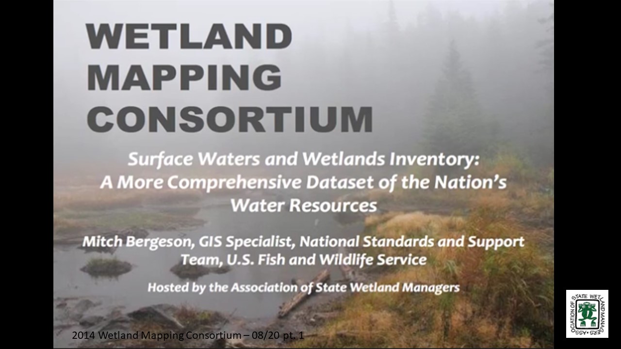
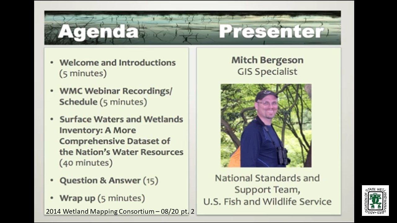
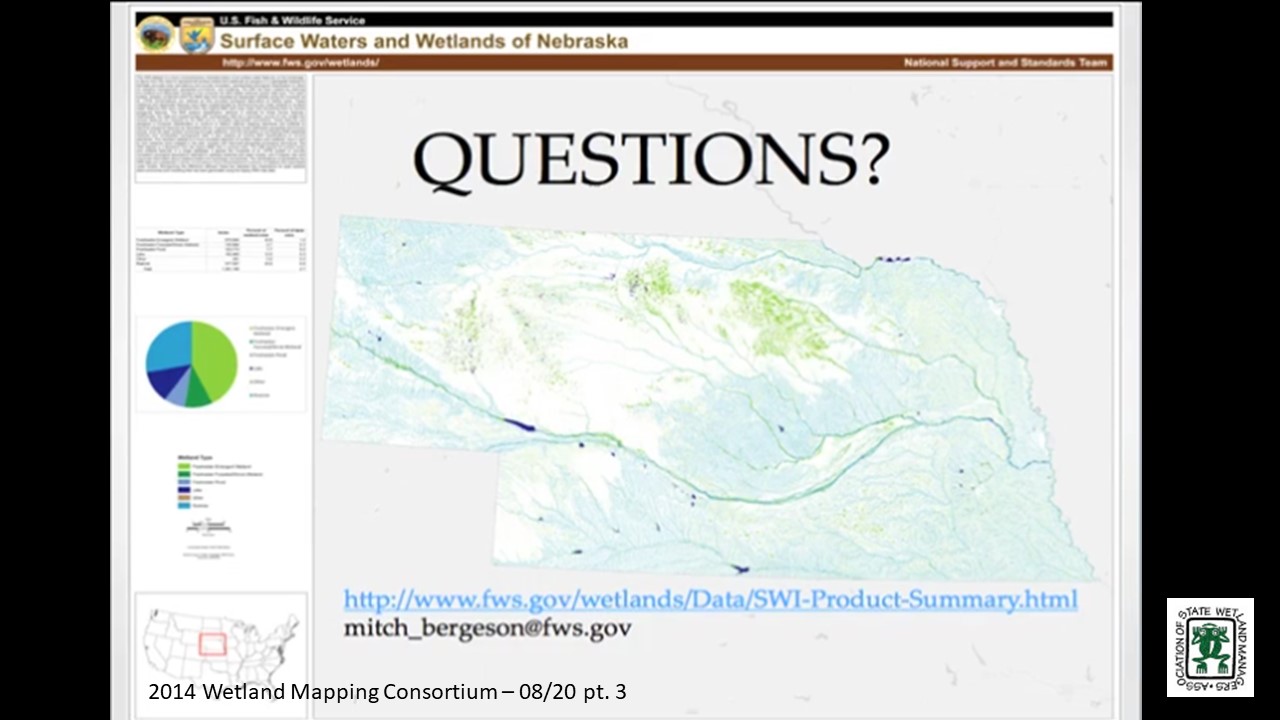
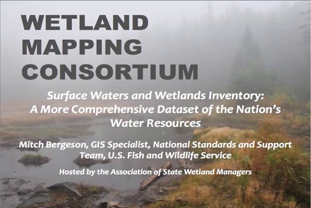
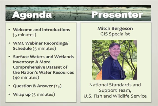
Surface Waters and Wetlands Inventory: A More Comprehensive Dataset of the Nation’s Water Resources
Held Wednesday, August 20, 2014 – 3:00 p.m. EDT
INTRODUCTION
- Marla Stelk, Policy Analyst, Association of State Wetland Managers[PRESENTATION PDF]
PRESENTER
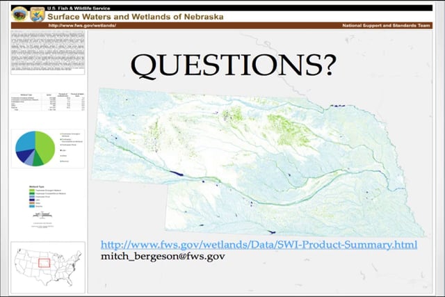
- Mitch Bergeson, GIS Specialist, National Standards and Support Team, U.S. Fish and Wildlife Service [PRESENTATION PDF]
SUMMARY
The Surface Waters and Wetlands Inventory (SWI) dataset provides more inclusive geospatial representation of all wetlands and surface water features on the landscape. It stems from the need to represent all surface waters and wetlands as polygons in a geospatial dataset to facilitate accurate area calculations and provide consistent, standardized ecological classification to allow for adaptive management, geospatial summaries, and modeling. The SWI has been created by retaining the wetland and deepwater polygons that compose the NWI digital wetlands spatial data layer and reintroducing any linear wetland or surface water features that were orphaned from the original NWI hard copy maps by converting them to narrow polygonal features. Additionally, the data are supplemented with hydrography data, buffered to become polygonal features, as a secondary source for any single-line stream features not mapped by the NWI and to complete segmented connections. This national geospatial data product will contribute substantially to improved modeling of flow, connectivity and water movement in surface water basins, channels, and wetlands.
BIO
 Mitch Bergeson is a GIS Specialist for the U.S. Fish and Wildlife Service's, National Standards and Support Team in Madison Wisconsin. He is the Project Lead for the National Wetlands Inventory database, Wetlands Mapper and the Wetlands Status and Trends Projects. Mitch has over 20 years of experience in the natural resource and geospatial fields and holds a B.S. in Biology from the University of Wisconsin - Stevens Point and an M.S. in Wildlife Ecology and Certificate Degree in GIS, both from the University of Wisconsin – Madison.
Please click only once on each video recording to view in this window. Part 1: Introduction: Marla Stelk, Policy Analyst, Association of State Wetland Manangers![]()
Presenter: Mitch Bergeson, GIS Specialist, National Standards and Support Team, U.S. Fish and Wildlife Service![]()
![]()
![]()
![]()
![]() There was not a webinar for July.
There was not a webinar for July.
![]()
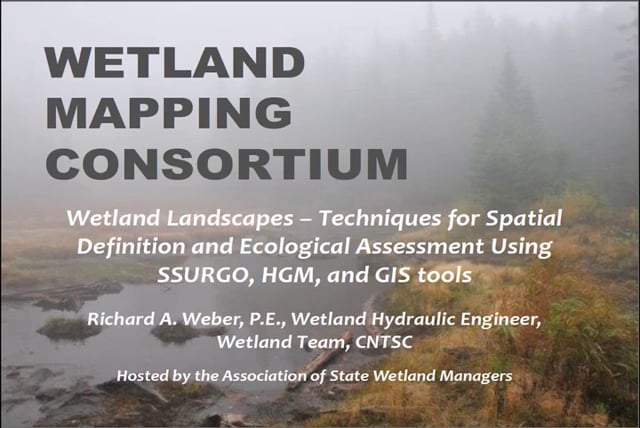
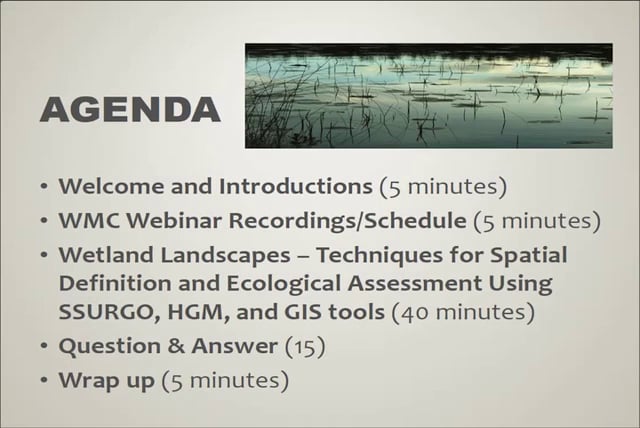
Wetland Landscapes – Techniques for Spatial Definition and Ecological Assessment Using SSURGO, HGM, and GIS Tools
Held Wednesday, June 18, 2014 – 3:00 p.m. EDT
INTRODUCTION
- Marla Stelk, Policy Analyst, Association of State Wetland Managers [PRESENTATION PDF]
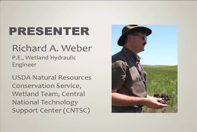
PRESENTER
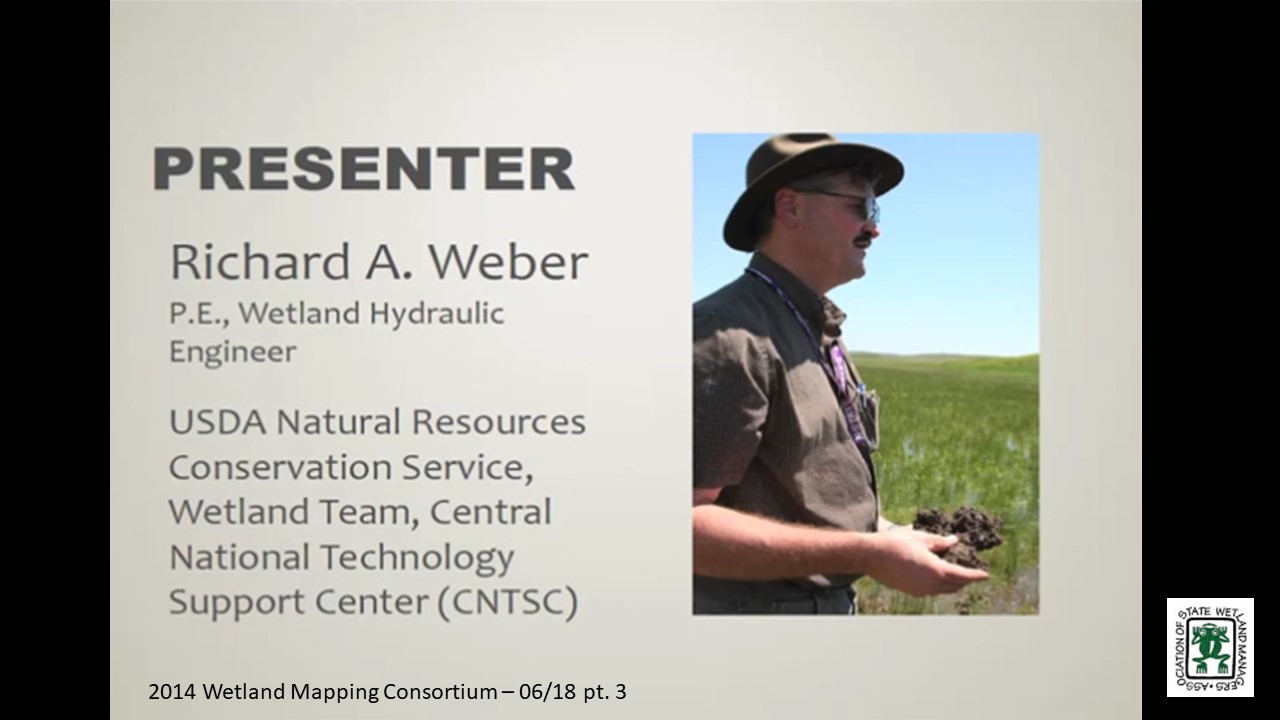
• Richard A. Weber, P.E., Wetland Hydraulic Engineer, Wetland Team, CNTSC [PRESENTATION PDF]
ABSTRACT
Wetland landscapes are spatial elements in a watershed network that consists of stream reaches of higher of lower order, headwaters, and contributing uplands that may contain wetlands. Each of these landscape positions can be rationally defined and mapped using abiotic parameters. Each element within those landscape positions can be associated with standard assessment tools that are appropriate for stream, wetlands, lentic and lotic landscapes, and other categories. Within similar watersheds, the hydrologic interactions between landscape elements are largely consistent. There are few methods that provide the means to merge existing landscape definitions and assessment methods in the watershed context. Presented are classification and mapping techniques that can be employed to categorize and map watershed landscape elements, correlate the existence of stream, wetland, and other elements with landscapes, and provide the basis for predicting hydrologic processes between landscapes. The techniques presented use GIS platforms with Digital Elevation Data (DED) and Soil Survey Geographic Database (SSURGO) information to define, categorize, and map wetlands in the watershed framework in various locations around the U.S. The Hydrogeomorphic (HGM) landscape classification system is introduced, and SSURGO database hydrologic parameters are presented. With proper, watershed-based landscape classification and hydrologic interpretations, ecological functions can be assigned, appropriate hydrologic restoration techniques can be selected, and management actions can be assigned to extent maps.
BIO
 Richard A. Weber is a Wetland Hydraulic Engineer with the USDA Natural Resources Conservation Service (NRCS), Wetland Team, CNTSC in Fort Worth, Texas from 2006 to present. In this role, Rich has provided national leadership on wetland hydrology, including: Support for Wetland Restoration Program, Wetland Protection Policy, and E.O. 11990 Wetland Assessments. He leads a national training cadre for Wetland Restoration and Enhancement and Hydrology Tools for Wetland Determination courses. From 2005-2006, Rich was Design Engineer at the NRCS Nebraska State Office where he had design and A&E Contracting responsibilities for PL-566, WRP, and EQIP programs. From 1999-2005, he was a Field Engineer at the NRCS in the Scottsbluff, NE Field Office where he had design, construction, and contracting responsibilities for the Wetland Reserve Program, EQIP Irrigation and Animal Waste Management, and CTA conservation practices. From 1997-1999, Rich was an Agricultural Engineer at the NRCS in Chehalis, WA where he had design, construction, and contracting responsibilities for Conservation District funded Stream Restoration and Fish Passage projects, and EQIP program Animal Waste Projects. And from 1986-1997, he was a Watershed Project Engineer at the NRCS in Horton, KS where he performed Construction Contract Administration for PL-566 Watershed Protection and Flood Prevention projects. He holds a B.S. in Agricultural Engineering from Kansas State University in 1982.
Part 1: Introduction: Marla Stelk, Policy Analyst, Association of State Wetland Managers
Please click only once on each video recording to view in this window.![]()
Presenter: Richard A. Weber, P.E., Wetland Hydraulic Engineer, Wetland Team, CNTSC![]()
![]()
![]()
![]()
![]()
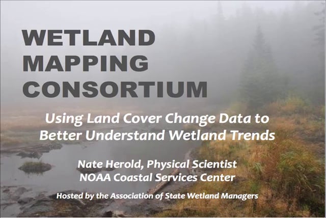
Using Land Cover Change Data to Better Understand Wetland Trends
Held Wednesday May 21, 2014 – 3:00 p.m. EDT
INTRODUCTION
- Marla Stelk, Policy Analyst, Association of State Wetland Managers [PRESENTATION PDF]
PRESENTER
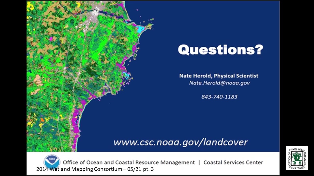
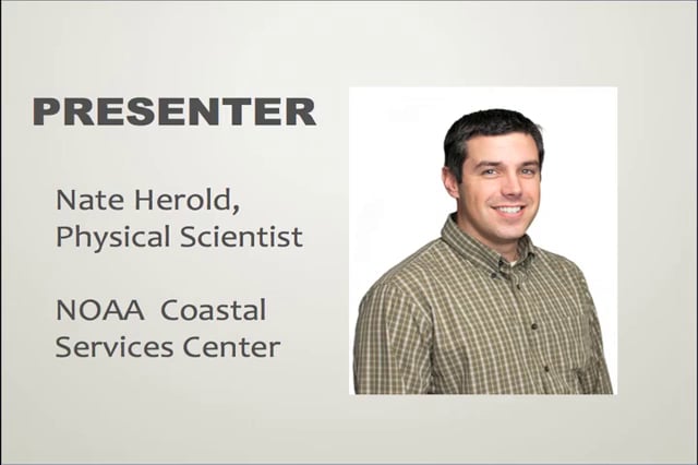
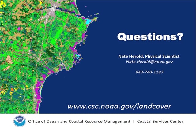
- Nate Herold, Physical Scientist, NOAA Coastal Services Center [PRESENTATION PDF]
ABSTRACT
Land use and land cover are significant drivers of environmental health. Information on how land cover is changing and where those changes are occurring is essential to understanding impacts from past management practices and choosing the right course for the future.
Through its Coastal Change Analysis Program (C-CAP), the National Oceanic and Atmospheric Administration (NOAA) produces nationally standardized land cover and change information for the coastal regions of the U.S. These products provide inventories of coastal inter-tidal areas, wetlands, and adjacent uplands (using documented, repeatable procedures), and are updated approximately every five years. This program has been in existence since the mid-1990s and features multiple dates of change information for most coastal areas of the U.S.
This presentation will summarize the availability of C-CAP data, how that data can be accessed via NOAA’s Digital Coast, recent improvements to wetland mapping accuracies, and how C-CAP can be used to highlight areas of wetland change and loss in order to inform more detailed mapping efforts (such as National Wetland Inventory mapping). The case studies provided show the audience what C-CAP data can and cannot do in terms of helping users understand wetland change, and the valuable insights this information can provide.
BIO
 Nate Herold is with the Geospatial Solutions Program at the National Oceanic and Atmospheric Administration's Coastal Services Center (CSC) in Charleston, SC where he leads up the NOAA’s land cover mapping activities, managing the Coastal Change Analysis Program (C-CAP). C-CAP is a nationally standardized database of land cover and change information developed for the Nation’s coastal regions. These products are developed utilizing remotely sensed imagery and can be used to track changes in the landscape through time.
Nate came to the NOAA after several years working in the private sector, where he was involved in the production of land cover products worldwide. He has a Bachelors in Soil Science, from Penn State University; and Masters in Geography, from George Mason University.
Please click only once on each video recording to view in this window. Part 1: Introduction: Marla Stelk, Association of State Wetland Managers![]()
Presenter: Nate Herold, Physical Scientist, NOAA Coastal Services Center![]()
![]()
![]()
![]()
![]()
Held Wednesday, April 16, 2014 – 3:00 p.m. EST
INTRODUCTION
- Marla Stelk, Policy Analyst, Association of State Wetland Managers [PRESENTATION PDF]
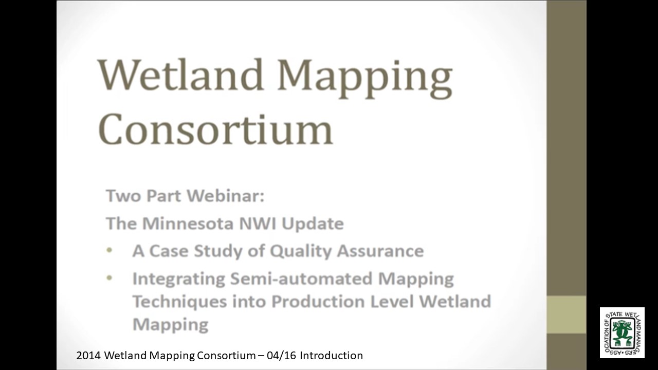
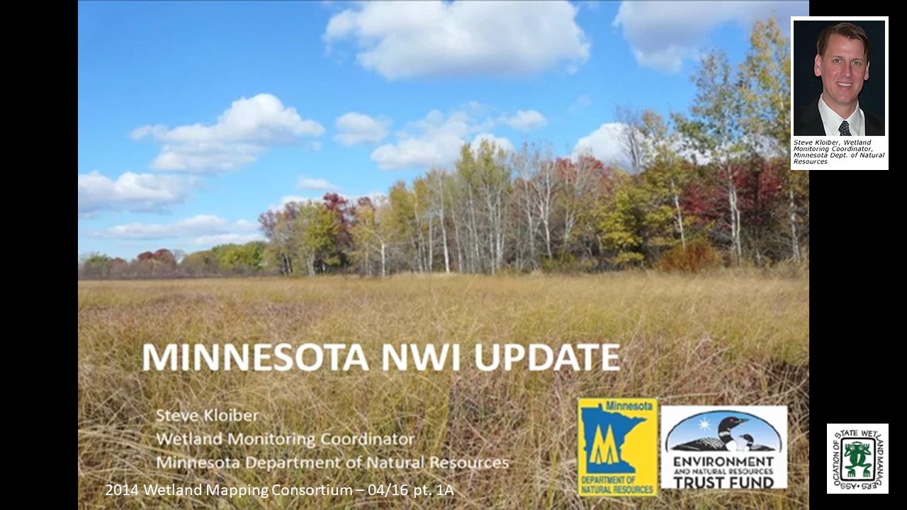
The Minnesota NWI Update: A Case Study of Quality Assurance
PRESENTER
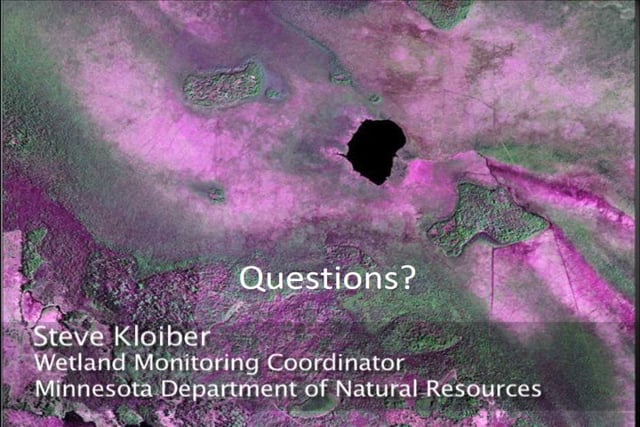
- Steve Kloiber, P.E., Ph.D., Wetland Monitoring Coordinator, Minnesota Dept. of Natural Resources [PRESENTATION PDF]
ABSTRACT
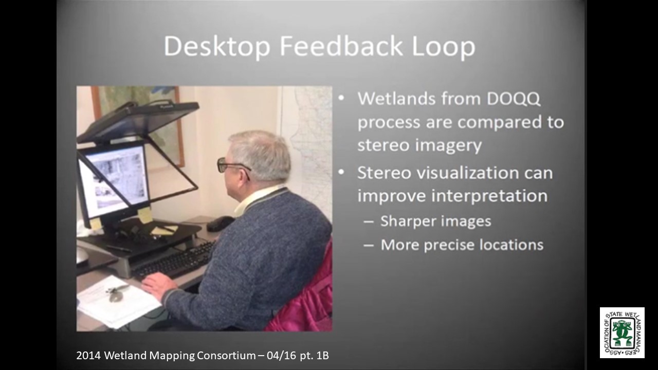
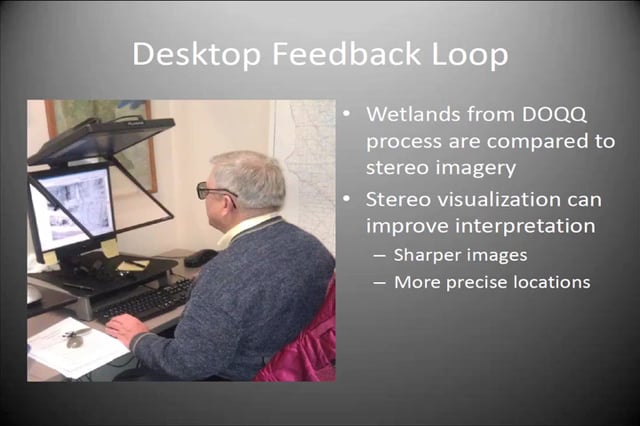
Updating the NWI is a key component of Minnesota’s strategy to monitor and assess wetlands in support of efforts to ensure healthy watersheds and clean water. The NWI update is a major endeavor with a 10-year timeline and a multi-million-dollar budget. One of the keys to a successful project, such as this, is a well-designed quality assurance (QA) program. This presentation provided an overview of the Minnesota NWI update project and provide details on the QA program. A well-designed QA program has clear, measurable objectives, an effective framework, and solid integration throughout the production process. Performance measurement systems implemented for this project include multiple levels of visual inspection, field-checks, crowd-source data review, automated GIS checks, and formal statistical testing for classification accuracy.
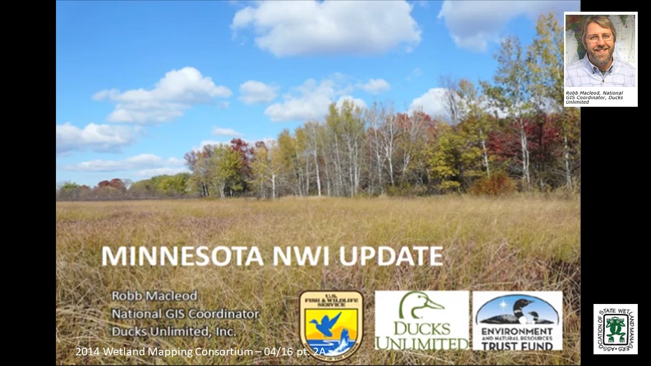
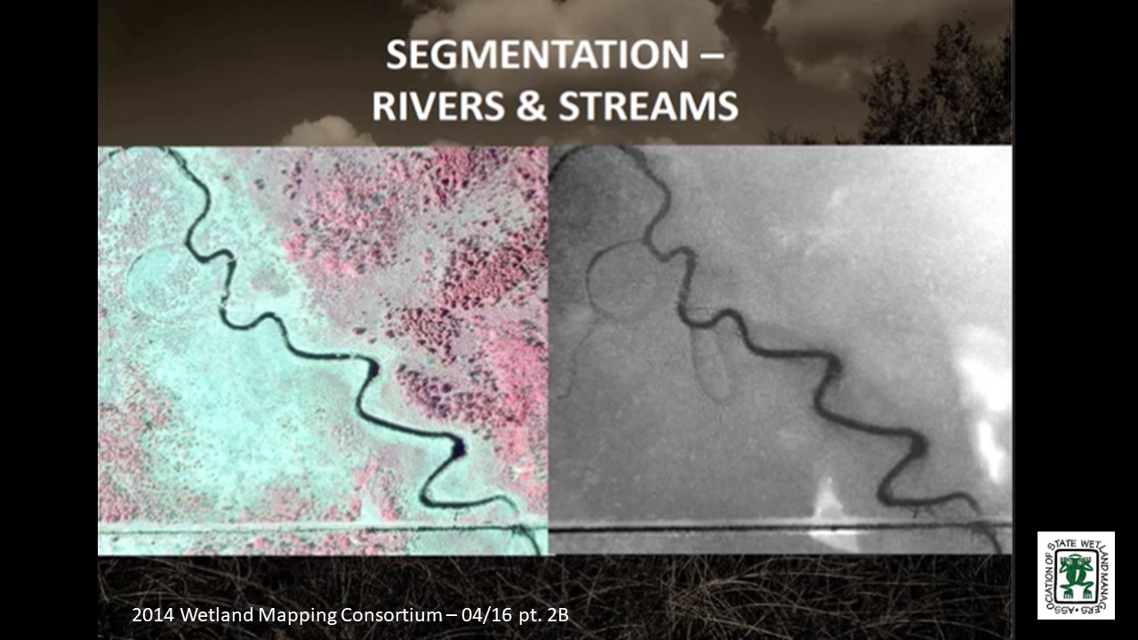
The Minnesota NWI Update: Integrating Semi-automated Mapping Techniques into Production Level Wetland Mapping
PRESENTER
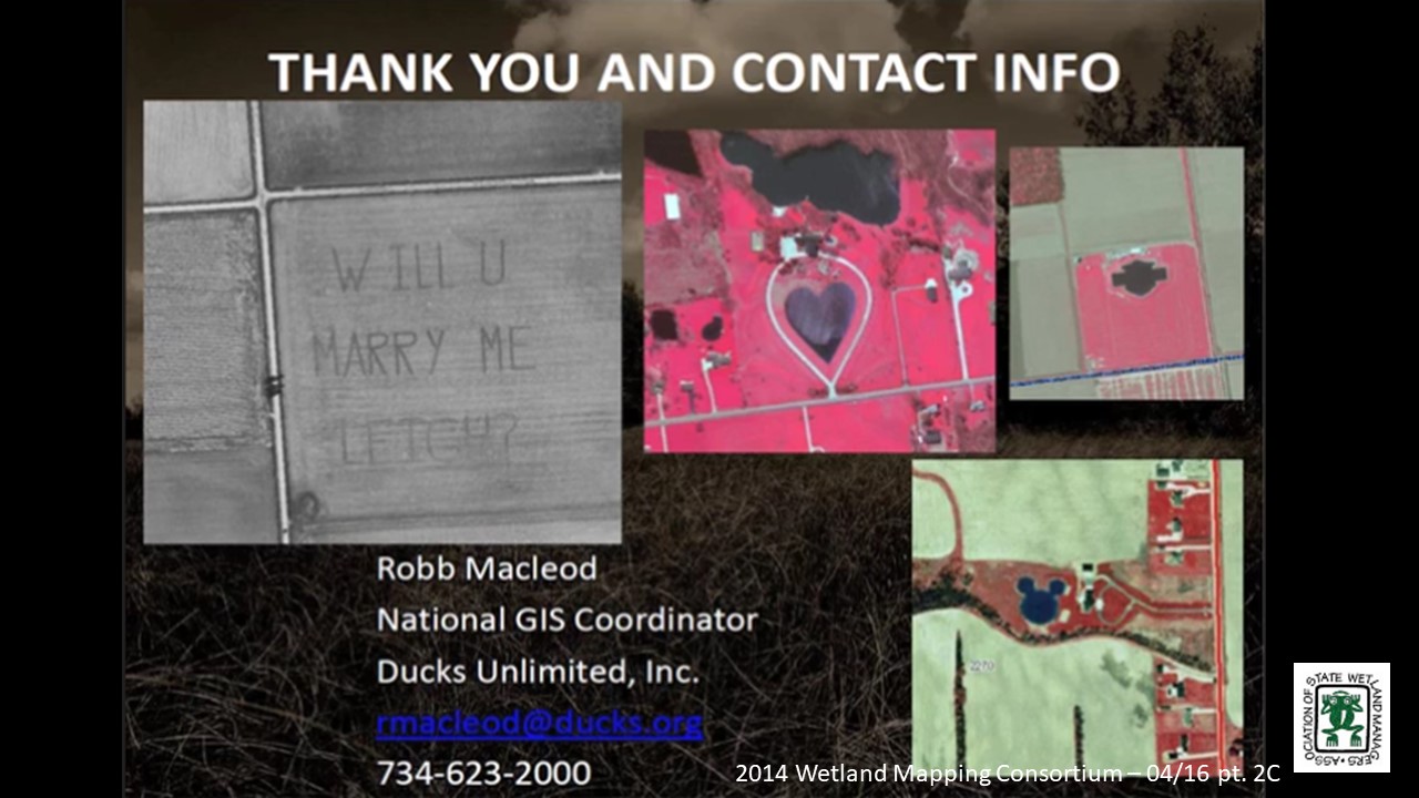
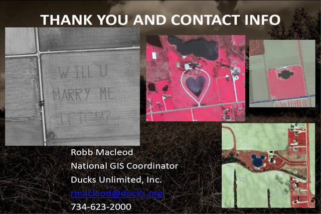
- Robb Macleod, National GIS Coordinator, Ducks Unlimited [PRESENTATION PDF]
ABSTRACT
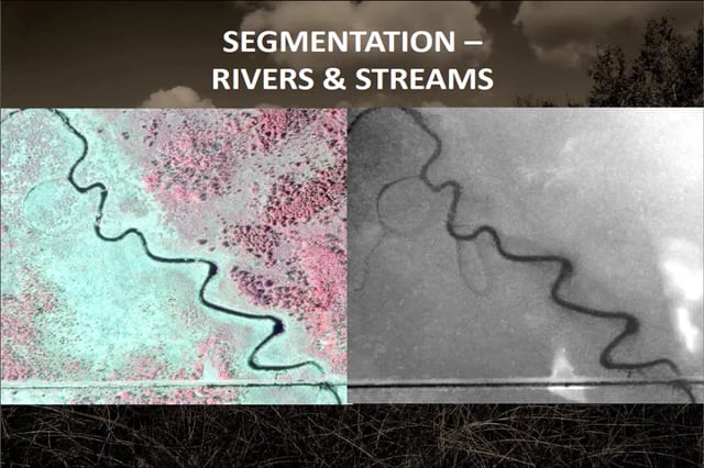
The goal of the semi-automated mapping for the NWI update in Minnesota was to reduce the amount of time the photo interpreters spend on delineating wetland boundaries so they can focus their efforts on identifying the wetland class, water regime, and modifiers. At the beginning of the Minnesota NWI update project, wetland mapping methods were developed by the University of Minnesota. Ducks Unlimited modified these techniques so they could be utilized at a production level over large areas. This presentation will provide an overview on the process Ducks Unlimited, and its partners have used in order to generate wetland boundaries for the photo interpretation process. The use of these techniques has the potential to increase the efficiency and accuracy of NWI updates throughout the country.
BIOS

Steve Kloiber is the wetland monitoring coordinator for the Minnesota DNR, where he oversees the wetland status and trends monitoring program and the update of the National Wetland Ivnentory for Minnesota. He has over twenty years of experience in the water resources field with a special focus on geospatial analysis and environmental informatics. He received his master’s and doctoral degrees from the University of Minnesota in environmental engineering with a minor in water resource science and his bachelor’s degree in chemistry with a computer science concentration from St. Olaf College.
 Robb Macleod is the National GIS Coordinator for Ducks Unlimited, where he coordinates the GIS and Remote Sensing activities for Ducks Unlimited throughout the United States. He has over twenty years of experience in the natural resources and geospatial fields. He received his bachelor’s degree from Michigan State University in forestry and his master’s degree in natural resources with a GIS/Remote Sensing concentration from the University of New Hampshire.
Please click only once on each video recording to view in this window. Introduction: Marla Stelk, Policy Analyst, Association of State Wetland Managers![]()
![]()
![]()
![]()
![]()


![]() Held at March 4-6, 2014: ASWM Winter Meeting Workshop
Held at March 4-6, 2014: ASWM Winter Meeting Workshop
![]()
Held Wednesday, February 19, 2014 – 3:00 p.m. EST
INTRODUCTION
- Marla Stelk, Policy Analyst, Association of State Wetland Managers [PDF PRESENTATION]
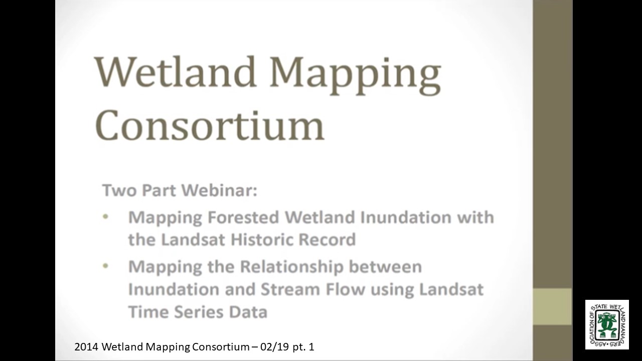
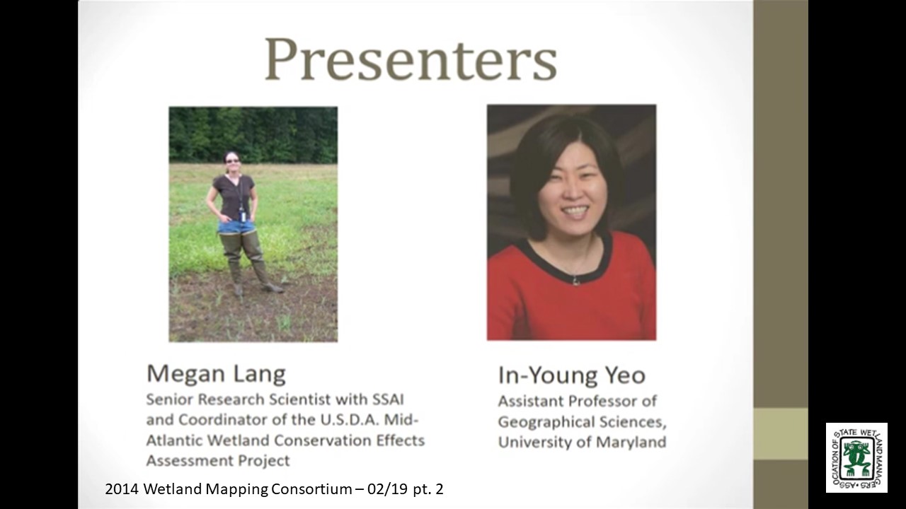
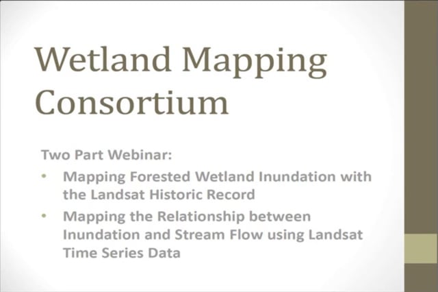
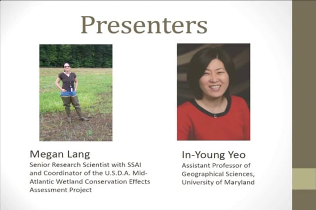
Mapping Forested Wetland Inundation with the Landsat historic Record
PRESENTER
- Megan Lang, Senior Research Scientist with Science Systems and Applications, Inc. and Coordinator of the U.S. Department of Agriculture Mid-Atlantic Wetland Conservation Effects Assessment Project [PDF PRESENTATION]
ABSTRACT
Wetland areas in the Mid-Atlantic region are inundated or saturated for a relatively short period, usually in the spring after snowmelt and before leaf-out so monitoring the hydrologic condition of wetlands can be difficult. Remote sensing provides a major data source for monitoring wetland dynamics. The purpose of this study was to develop a new approach to map wetland inundation using combined data from LiDAR (Light Detection and Ranging) and Landsat time series data. The results demonstrate that accurate maps of wetland inundation can be developed using this approach and that Landsat images can be calibrated to reveal the inundation state of wetlands over large regions. The importance of this finding is linked to the 40+ year continuous record of Landsat images, which can now be used to look at long-term trends in wetland hydrology. This will enhance our ability to detect influences of climate and land use change on wetland ecosystems and the health of the Chesapeake Bay.
Mapping the Relationship between Inundation and Stream Flow using Landsat Time Series Data
PRESENTER
- In-Young Yeo, Assistant Professor of Geographical Sciences, University of Maryland
ABSTRACT
While it is known that wetland hydrology is affected by the climate, the relationship among wetland inundation extent, weather variability, and downstream hydrology has rarely been assessed at the landscape scale. We report findings from time series satellite observations that illustrate changes in wetland inundation in depressional palustrine forested wetlands located in the Coastal Plain of the Chesapeake Bay Watershed at a high spatial resolution (30 m) over the period 1985-2010. Mapping results demonstrate that extent of wetland inundation is highly variable. Inundation extent changes in response to weather variability, and it was proportionally related to the downstream flow discharge, but this relationship varies according to NWI wetland hydrologic modifiers. This study demonstrates that inundation patterns of headwater wetlands that are often considered to be geographically isolated are strongly related to stream discharge, thus supporting the conclusion that all wetlands and streams are closely linked at the watershed scale within the Maryland Coastal Plain.
BIOS
 Dr. Megan Lang is a Senior Research Scientist with Science Systems and Applications, Inc. and Coordinator of the U.S. Department of Agriculture Mid-Atlantic Wetland Conservation Effects Assessment Project. After earning her bachelors (Biology and Geology) from the College of Charleston in South Carolina, she obtained her doctorate in Geography from the University of Maryland. She is currently working to assess the effect of conservation practices, including wetland restoration, on the provision of ecosystem services. She specializes in characterizing the location and function of wetlands and other aquatic ecosystems through the use of advanced geospatial data and techniques.
Part 1: Introduction: Marla Stelk, Policy Analyst, Association of State Wetland Managers In-Young Yeo, Ph.D. is an assistant professor of Geographical Sciences at the University of Maryland. Her research interests include watershed hydrology, Geographical Information Sciences, and spatial optimization for decision making. She is interested in studying the impacts of land use changes and management practices on water resources using various geospatial information, field monitoring data, and numerical models. In-Young is working to understand the role of wetlands in improving water quality and their hydrological connection to the streams. She has Ph.D. in City and Regional Planning from Ohio State University (OSU) and BS and MS in Civil and Environmental Engineering.
Please click only once on each video recording to view in this window.![]()
Presenter: Megan Lang, Senior Research Scientist, Science Systems and Applications, Inc. and Coordinator of the USDA Mid-Atlantic Wetland Conservation Effects Assessment Project![]()
![]()
![]()
![]()
Note: Mapping the Relationship between Inundation and Stream Flow using Landsat Time Series Data will be uploaded at a later date.![]()
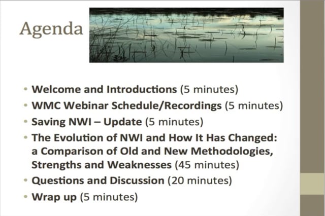
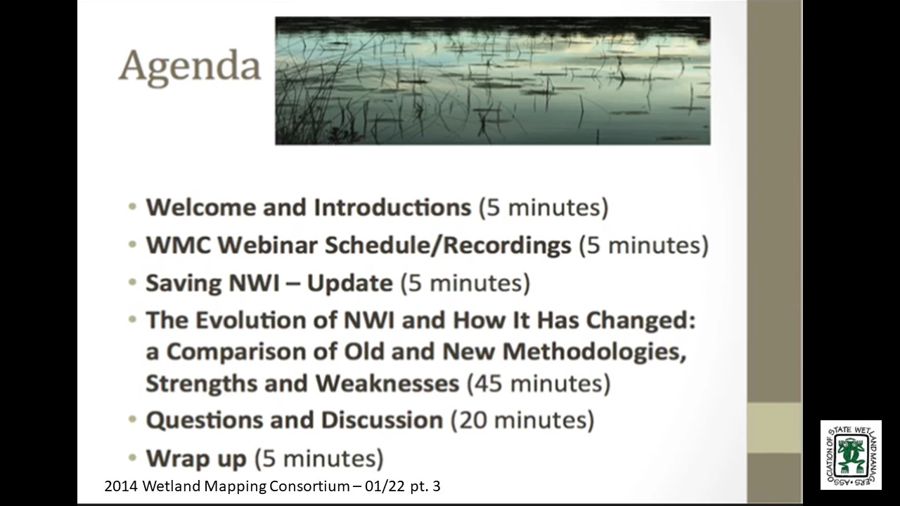
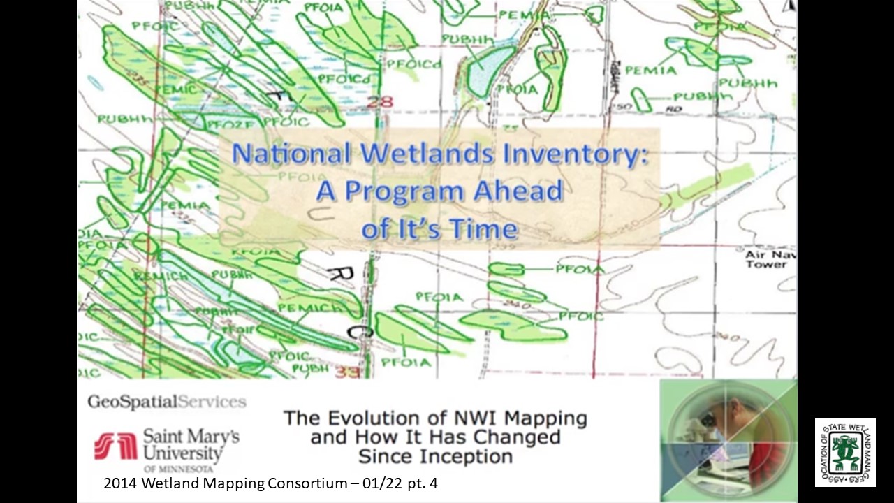
The Evolution of NWI and How it Has Changed: A Comparison of Old and New Methodologies, Strengths and Weakness
Held Wednesday, January 22, 2014 - 3:00 p.m. EST
INTRODUCTION
- Marla Stelk, Policy Analyst, Association of State Wetland Managers [PDF PRESENTATION]
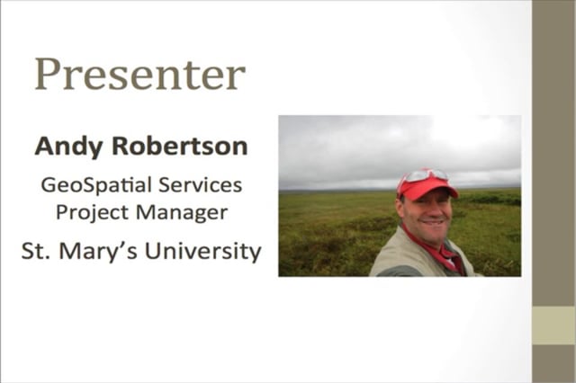
PRESENTER
- Andy Robertson, Saint Mary’s University of Minnesota [PDF PRESENTATION]
SUMMARY
Since 2002, Saint Mary’s University of Minnesota GeoSpatial Services (GSS) has been partnering with the National Wetland Inventory Program and other federal and state agencies to update digital wetland mapping across the nation. Through numerous projects in a range of different ecoregions, GSS has had the opportunity to work with: increasingly more detailed aerial and space-based imagery; new technologies for wetland delineation and classification; a wide variety of collateral spatial data sources; and new tools for data validation and quality assurance. In this webinar we examined how GSS continues to employ traditional wetland image interpretation techniques in a fully digital environment supported by a wide range of collateral datasets and new spatial tools in order to meet the FGDC Federal Wetland Mapping Standard. In short, when compared to original NWI for the same areas, these new wetland geodatabases provide: more detailed delineation; improved spatial accuracy; additional/enhanced attribution (e.g. LLWW, HGM, adjacent land use, watershed and ecoregion address etc.); greater support for end used applications; and cost effectiveness.
BIO
 Andy Robertson joined Saint Mary’s University as GeoSpatial Services Project Manager in 2004. In this current position, he is responsible for the management of project resources for a wide range of wetland inventory, spatial data development and natural resource related projects. Andy has over 25 years of natural resource project management experience with both the public and private sectors and as a consultant. Andy earned a Forest Technology Diploma from Sault College of Applied Technology in Ontario, Canada, a B.S in Environmental Science from the University of Waterloo and completed post graduate work at the University of Toronto. Andy is a Registered Professional Forest Technologist and a member of both the Canadian Institute of Forestry and the Society of American Foresters.
Please click only once on each video recording to view in this window.

Part 1: Introduction: Marla Stelk, Association of State Wetland Managers
Presenter: Andy Robertson, Saint Mary’s University of Minnesota

![]() View Past Wetland Mapping Consortium Webinars
View Past Wetland Mapping Consortium Webinars
PDF List of Past Wetland Mapping Consortium Webinar Recordings Here
View Upcoming Wetland Mapping Consortium Webinars