Creating a Value-Added Wetlands Layer: Enhancing the Utility of Wetland Mapping in Montana
Held Wednesday, December 18, 2013 at 3:00 p.m. EST
INTRODUCTION
- Jeanne Christie, Association of State Wetland Managers [PRESENTATION PDF]
PRESENTER
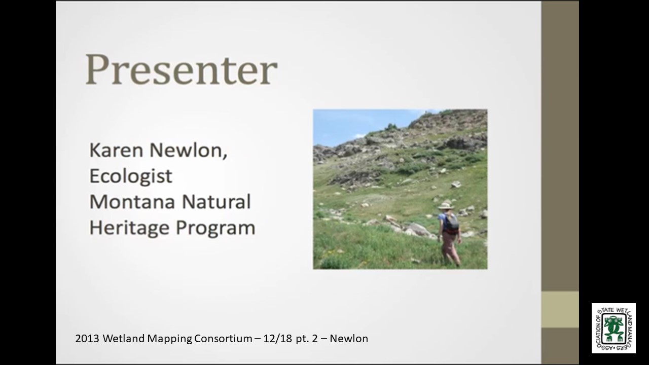
- Karen Newlon, Montana Natural Heritage Program [PRESENTATION PDF]

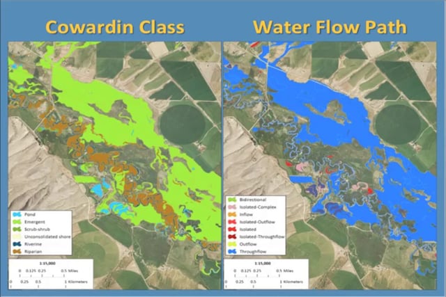
The Montana Natural Heritage Program (MTNHP) has been working towards the completion of statewide digital wetland mapping since 2007. Wetland mapping is incorporated into the NWI, and as such must follow the Wetland Mapping Standard endorsed by the Federal Geographic Data Committee. A key recommendation in this standard is to enhance the current wetland classification by incorporating descriptors that describe potential wetland function: landscape position, landform, water flow path, and waterbody type (LLWW). The use of these descriptors has been applied widely to NWI data across the eastern U.S. with the recent introduction of NWI+. Although LLWW descriptors have been successfully applied to wetlands in the eastern U.S., they may not fully address situations in the western U.S. without some modification. The MTNHP has developed spatial and attribute queries within a GIS to create a semi-automated procedure for the assignment of LLWW descriptors to wetland data. We will discuss the background, challenges, and future directions of this approach.
BIO
Karen Newlon has been an Ecologist with the Montana Natural Heritage Program since May 2008. She and other ecologists with the MTNHP have been developing GIS-based wetland assessments techniques and field-based wetland assessment methodologies with the goal of establishing a statewide wetland assessment and monitoring program. She also manages mapping projects completed by the MTNHP’s Wetland and Riparian Mapping Center, where they are working to create a statewide digital wetland and riparian data layer. She received her M.S. in Biological Sciences from Montana State University.
Part 1: Introduction: Jeanne Christie, Association of State Wetland Managers
Please click only once on each video recording to view in this window.![]()
Presenter: Karen Newlon, Montana Natural Heritage Program![]()
![]()
![]()
![]()
![]()
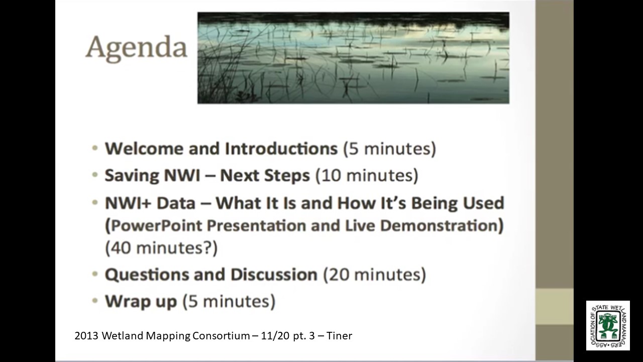
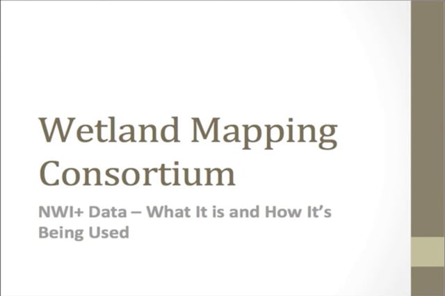
NWI+ Data What It Is and How It's Being Used
Held Wednesday, November 20, 2013 at 3:00 p.m. EST
INTRODUCTION
- Jeanne Christie, Association of State Wetland Managers [PRESENTATION PDF]
PRESENTER
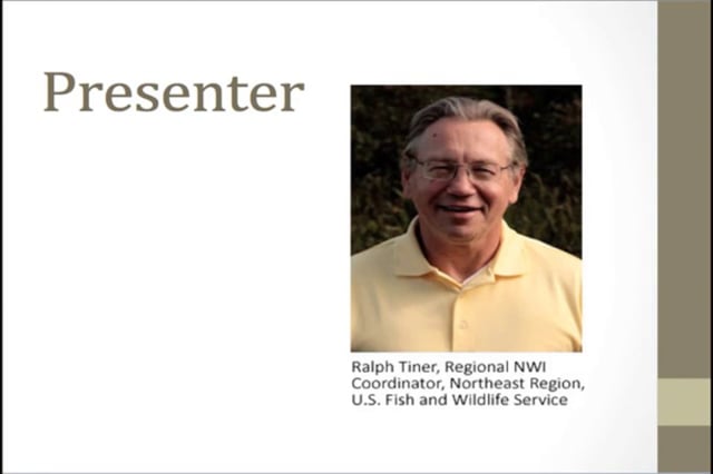
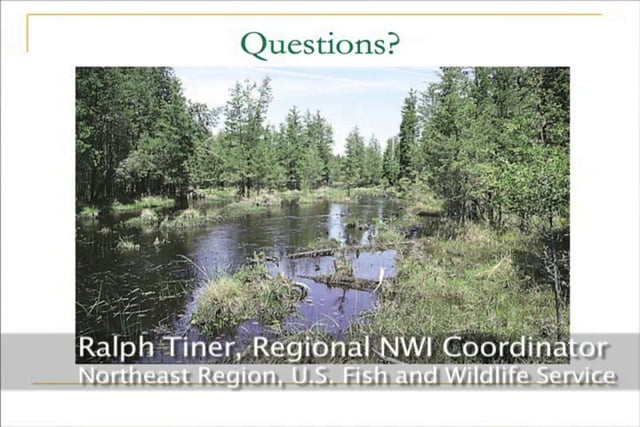
- Ralph Tiner, Regional NWI Coordinator, Northeast Region, U.S. Fish and Wildlife Service [PRESENTATION PDF]
SUMMARY
In response to rising interest in wetland functional assessment in the 1990s and the creation of HGM by Dr. Mark Brinson, the NWI’s Northeast Region saw an opportunity to increase the functionality of NWI data for landscape-level functional assessment and watershed planning. To do this, hydrogeomorphic type descriptors were defined and applied to NWI updates to create an expanded NWI database - NWI+ data. The combination of NWI and LLWW descriptors made it possible to predict numerous wetland functions for large geographic areas. This presentation will describe what constitutes an NWI+ database and show the kind of information that has been generated from these data and where such data are available, in progress, or planned with emphasis on NWI projects. The findings of NWI+ projects are posted online at “Wetlands One-Stop Mapping” – a component of the Association of State Wetland Managers website.
BIO
 Ralph Tiner has served as Regional Wetland Coordinator for the Northeast Region of the U.S. Fish and Wildlife Service for over 35 years. In this capacity he has directed the National Wetlands Inventory in 13 states from Maine through Virginia. He has written over 250 publications on a variety of topics ranging from the results of NWI mapping projects to wetland identification and classification to wetland trends and functional assessment. He has adapted Brinson's HGM concept for enhancing NWI data to create "NWI+ databases" that allows for improved wetland characterization and prediction of wetland functions at the landscape level.
Part 1: Introduction: Jeanne Christie, Association of State Wetland Managers
Please click only once on each video recording to view in this window.![]()
Presenter: Ralph Tiner, Regional NWI Coordinator, Northeast Region, U.S. Fish and Wildlife Service![]()
![]()
![]()
![]()
![]()
Held Tuesday, September 17, 2013 at 2:00 EST
INTRODUCTION
- Jeanne Christie, Association of State Wetland Managers [PRESENTATION PDF]
PRESENTER
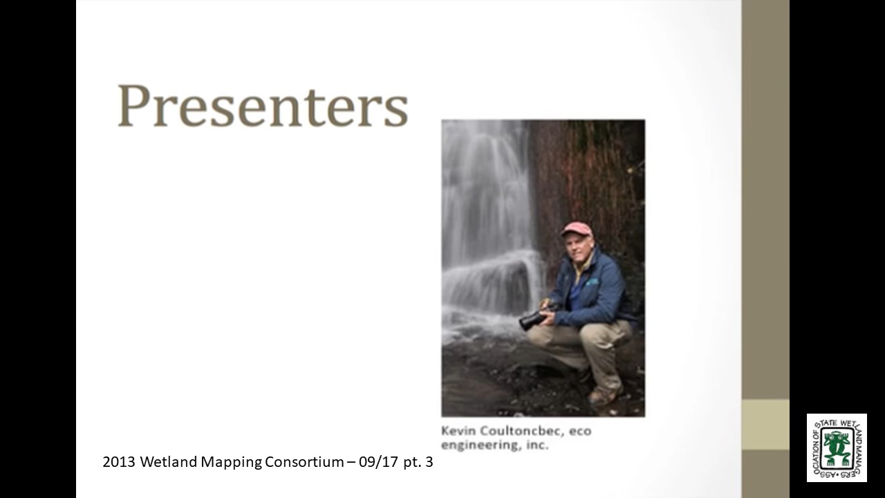
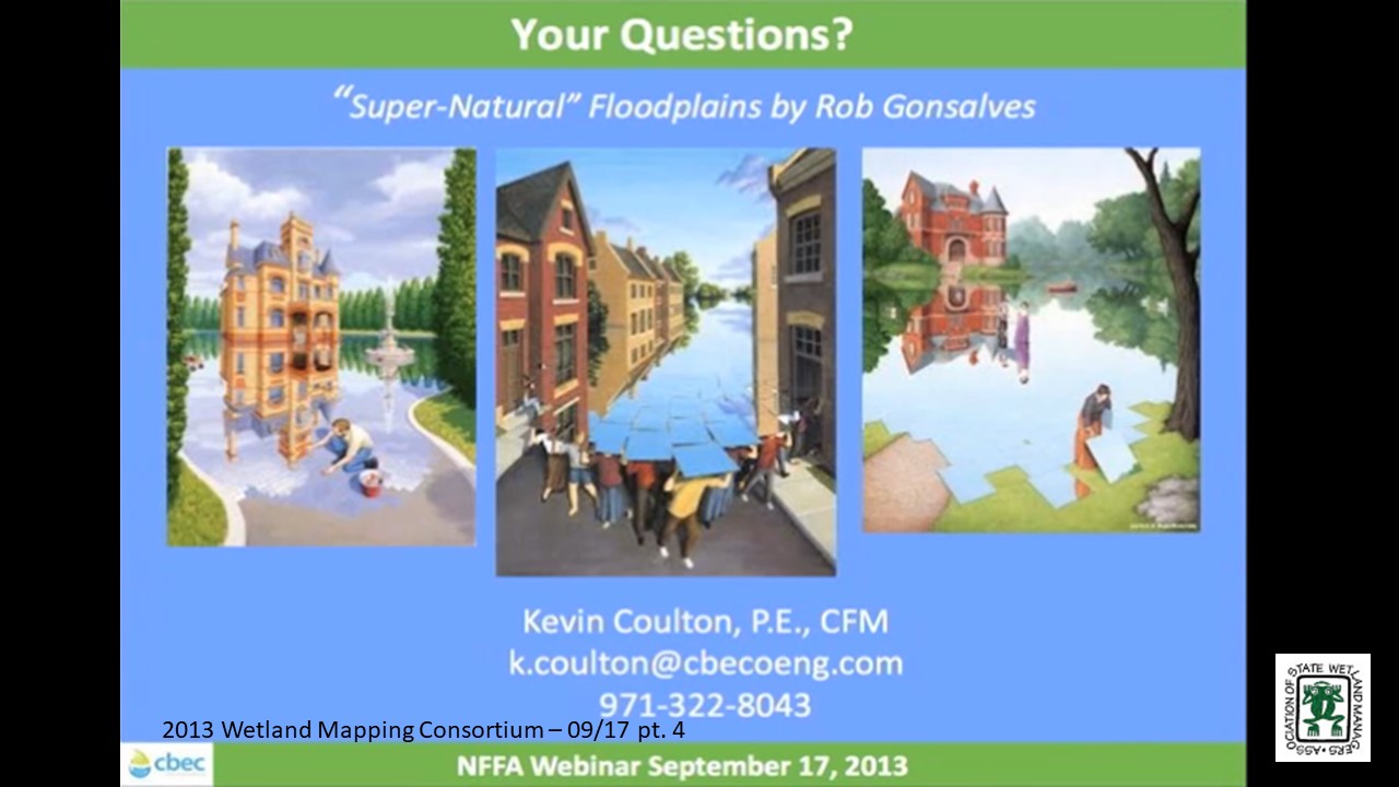
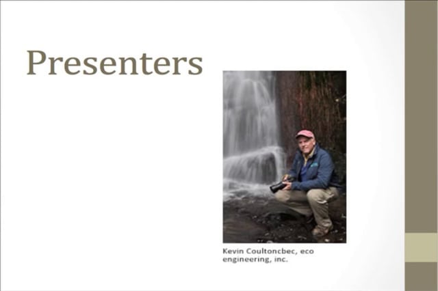
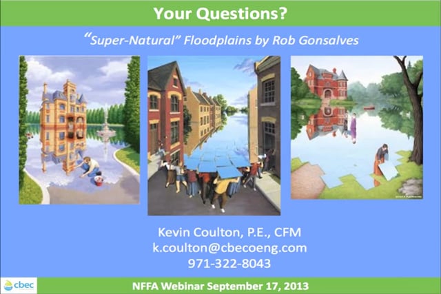
- Kevin Coulton, cbec, eco engineering, inc. [PRESENTATION PDF]
About 10 years ago, Kevin was working with the USFWS on an assessment of flooding throughout the state of Oregon. Since FEMA floodplain map data are typically limited to locations where people and insured property are concentrated, he turned to soils data to map “geomorphic” or “natural” floodplains in other portions of the state. His presentation will cover this past work and recent updates to the initial methodology, assisted by his colleague Keenan Lorenzato. Additional spatial data and techniques will be presented--from ongoing regional floodplain restoration planning work in the Central Valley--that can augment and refine the spatial delineation of “natural” floodplains.
Soil Survey Information for Floodplain Mapping
PRESENTER
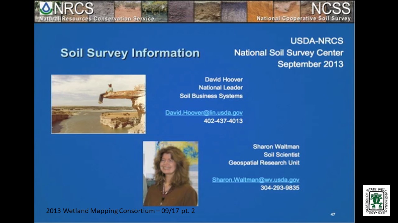
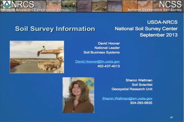
- David Hoovers and Sharon Waltman, Natural Resources Conservations Service
The USDA Natural Resources Conservation Service (NRCS) has been the lead agency on making soil maps of the nation for over 100 years. Besides mapping soil types and their physical and chemical characteristics, soil maps are also an excellent source of information on landforms. The presentation will cover the extent of soil maps in the country, the definitions of flooding classes used by NRCS for soil mapping units, and the field criteria used in assigning those classes.
In addition, extraction and mapping of soil map unit component monthly flooding frequency and/or duration using the Gridded Soil Survey Geographic Database (gSSURGO) will be presented for selected US landscapes. Animation of gSSURGO flooding frequency/duration throughout an annual cycle will be reviewed for viability in natural flood plain mapping projects.
BIOS Kevin Coulton is a Certified Floodplain Manager (CFM) and a Senior Ecoengineer with cbec eco engineering, inc. He has academic degrees in Civil Engineering and Landscape Architecture, and this led him into the world of flood management early in his career during which he has performed riverine and coastal flood studies for FEMA and has assisted FEMA headquarters on national flood policy issues. His ongoing interest is in the integration of ecological and engineering objectives in the management of our floodplains.
 David Hoover is currently the National Leader for Soil Business Systems for NRCS, a branch of the National Soil Survey Center in Lincoln, Nebraska, that deals with processes, tools, and systems for both field data collection and database and web information delivery. David has 36 years of field and management experience in soil science, field soil mapping, GIS, and remote sensing.
 Sharon Whitmoyer Waltman received an M. S. in Agronomy-Soil Genesis and Morphology (1988) from the Pennsylvania State University. She has mapped and managed soil geographic databases at the local, state, and National level with the USDA NRCS for 29+ years. She currently serves as a soil scientist-soil geographer performing research in new soil geographic data models with the National Soil Survey Center-Geospatial Research Unit located on campus at West Virginia University in Morgantown, WV. She is a member of the American Society of Agronomy, Soil Science Society of America, the International Union of Soil Science, the Association of American Geographers, and the Pennsylvania Association for Sustainable Agriculture.
Web Sites of Note
NRCS Soils Website – Latest information and links to technical and training documents
NRCS Soils YouTube Site – 100s of videos on soil topics
Web Soil Survey – Site for viewing, downloading, and report preparation
SoilWeb – Soils data that is GPS enabled (if your device is)
National Soil Survey Handbook – Guidelines and definitions
Part 1: Introduction: Jeanne Christie, Association of State Wetland Managers
Please click only once on each video recording to view in this window.![]()
Presenter: David Hoover, Natural Resources Conversation Service![]()
![]()
![]()
![]()
![]()
National Wetlands Inventory – Jeanne Christie and Marla Stelk, Association of State Wetland Managers
Held Wednesday, July 31, 2013 – Conference Call/Webinar
 National Wetland Inventory at Risk
By Marla Stelk – Association of State Wetland Managers – July 2013
Maps have, and continue to be, useful tools for navigation, planning, and spacial awareness. They assist us in understanding our physical world beyond our immediate senses, in planning how we choose to interact with it, and in developing a deeper understanding of how the world as a whole interacts within an interconnected ecosystem. The National Wetlands Inventory (NWI) program, established by the U.S. Fish and Wildlife Service (FWS) in 1974, is one of the oldest and most frequently used government mapping resources. It was established with the mission to create a nationwide inventory of U.S. wetlands to provide biologists and other stakeholders with data and visual displays of the physical distribution of wetlands in an effort to assist in wetland protection and conservation. Throughout its history, the NWI program has diligently worked to support the FWS mission “to protect and enhance fish, wildlife, and plants and their habitats for the continuing benefit for the American people.” For full article in PDF, click here.
![]() Iowa Wetland Assessment and Restoration Wetland Inventory
Iowa Wetland Assessment and Restoration Wetland Inventory
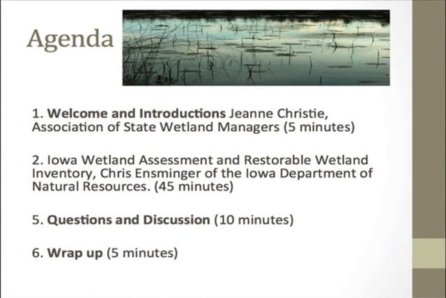
Held Wednesday, June 26, 2013 – 3:00 p.m. EST
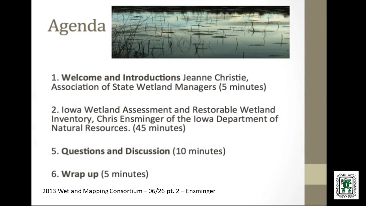
INTRODUCTION
- Jeanne Christie, Assocation of State Wetland Managers [PRESENTATION PDF]
PRESENTER
 • Chris Ensminger, Iowa Department of Natural Resources [PRESENTATION PDF]
The ultimate goal of this multi-year project is to quantify the wildlife, water quality, flooding, and economic impacts associated with the restoration of any drained prairie pothole wetland in the state of Iowa. Phase I of the project was completed last year and focused on the processing of LiDAR elevation data to determine the basic characteristics of each basin (e.g. surface area, volume, maximum depth, etc.). Currently we are in Phase II which entails using those basin characteristics in conjunction with other datasets to estimate the aforementioned impacts. This presentation will describe the GIS processes utilized in Phase I, the methodology and rationale behind decisions being made in Phase II and our plans for Phase III.
Please click only once on each video recording to view in this window.

Part 1: Introduction: Jeanne Christie, Association of State Wetland Managers
Presenter: Chris Ensminger, Iowa Department of Natural Resources
![]()
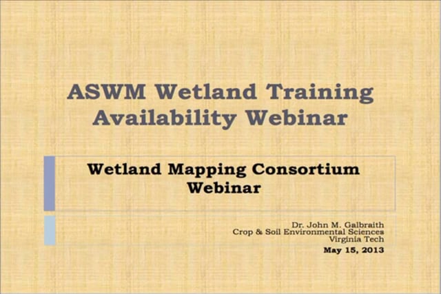
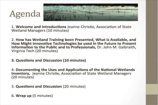
Held May 15, 2013 – 3:00 p.m. EST
How has Wetland Training been Presented, What is Available, and How Might Innovative Technologies be used in the Future to Present Information to the Public and to Professionals
PRESENTER
- Dr. John M. Galbraith, Virginia Tech [PRESENTATION PDF]
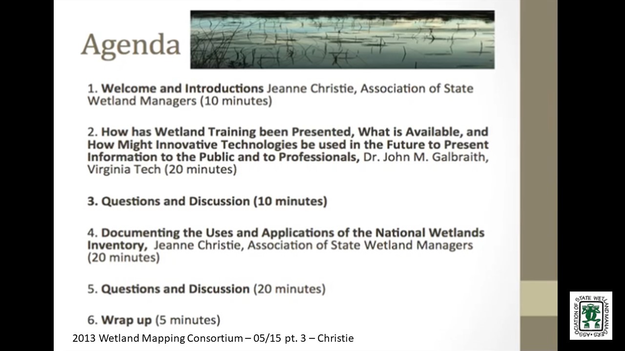
Wetland training is available through in-person and on-line university courses, CEU-quality lecture and field training sessions from consultants, professional societies, agencies, and universities, short and long videos on YouTube™ [49,400] and Vimeo™ [2,170]; Facebook™ sites [4]; and professional web sites such as ASWM and SWS. Not all of the sources of information are training sources: many are individuals posting about their favorite place to visit or even cell phone “apps” and video games. The yield for an Internet search for “wetland webinar” [225,000]; “wetland forum” [11,600]; “wetlands blog” [2,980] appears in brackets. The search for “wetland mapping” [45,700] is much larger than “wetland mapping training” [9,090]. Information will be given about the educational materials available with some general thoughts about how useful these are for various audiences and as public relations information tools. Discussion will center around the need for more training in wetland mapping that can be offered through the Wetland Mapping Consortium, and the best way to centralize information about the training already available. Funding sources for collaborative building of an information site and training production will follow.
Documenting the Uses and Applications of the National Wetlands Inventory
PRESENTER
- Jeanne Christie, Association of State Wetland Managers
Following the Association of State Wetland Managersmeeting in March, Scott Yaich from Ducks Unlimited did an outstanding job reaching out to the wildlife community to request stories about how the National Wetland Inventory is used. We are currently compiling what we have received. I am not exactly sure what the count is, but it must be around 25-35 examples of using the National Wetlands Inventory in decision-making. Some of these have been provided through Scott’s effort and others have been provided by members of the Wetland Mapping Consortium. A very draft compilation of the information received to date will be presented and there will be discussion on next steps. It would be great to have 200-300 examples to demonstrate that wetland maps are part of day-to-day decision-making, particularly if we could put up a map of the U.S. that people could use to click on and see how wetland maps are used in their state. In the next couple weeks ASWM plans to start sharing those we have already received with the goal of adding many more over time. For more information click here. Please plan to participate and share your ideas!
Please click only once on each video recording to view in this window.
Part 1: Introduction: Jeanne Christie, Association of State Wetland Managers
Presenter:John Galbraith, Virginia Tech
![]()
Held March 20, 2013 – 1:00 p.m.-5:00 p.m. EST – Workshop/Webinar
ASWM Meeting at the National Conservation Training Center, Shepherdstown, West Virgina
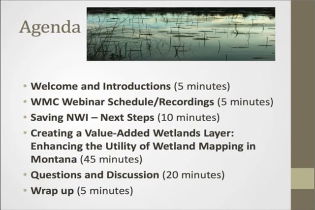
Agenda
1:00 p.m.-1:45 p.m. Documenting the Importance of the National Wetlands Inventory – Discussion leader TBD
1:45 p.m.-2:00 p.m. Newly Released Scalable Wetland Maps – Bill Wilen, U.S. Fish and Wildlife Service
2:00 p.m.-2:30 p.m. Overview of Restore Act and Gulf Oil Spill Funding – Jim Pendergast, U.S. Environmental Protection Agency
2:30 p.m.-3:00 p.m. Break
3:00 p.m.-4:30 p.m. Establishing Wetland Restoration Priorities through GIS Landscape Analysis: Case Studies and Discussion – Andy Robertson, St. Mary's University of Minnesota, Ralph Tiner, U.S. Fish and Wildlife Service and Shelly Barnes, New Mexico Environment Department
4:30 p.m.-5:00 p.m. Identifying Opportunities to Provide Education on Appropriate Use of GIS data – Discussion led by John Galbraith, Virginia Tech
![]()
National SURRGO Wetland Soils Project
Held February 26, 2013 – 3:00 p.m. EST
PRESENTER
- John Galbraith, Virginia Tech [PRESENTATION PDF]
Part 1: Introduction: Jeanne Christie, Association of State Wetland Managers
Please click only once on each video recording to view in this window.![]()
Presenter: John Galbraith, Virginia Tech![]()
![]()
![]()
![]()
![]()
Held January 30, 2013 – 3:00 p.m. EST
Conference Call
Agenda
1. Introductions
2. A template for sharing information about the importance of NWI maps to projects and decision-making
3. Brainstorming possible approaches to prioritizing wetland restoration along the Gulf Coast
4. Special session on wetland mapping for State/Tribal/Federal Coordination Workshop, March 19-21 at the NCTC near Shepherdstown, WV
5. Updates from participants ![]()
View Past Wetland Mapping Consortium Webinars
PDF List of Past Wetland Mapping Consortium Webinar Recordings Here
View Upcoming Wetland Mapping Consortium Webinars