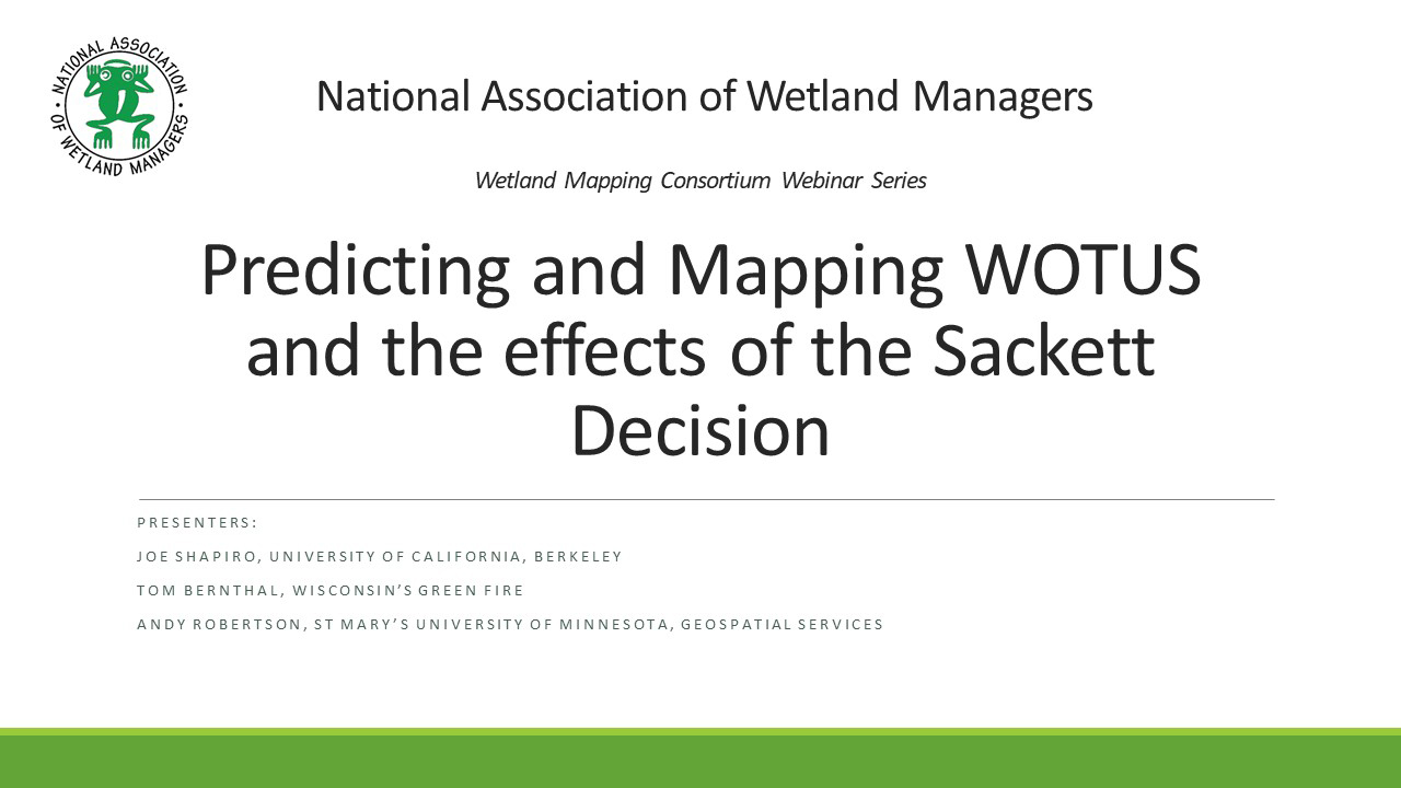
Predicting and Mapping the effects of the Sackett Decision
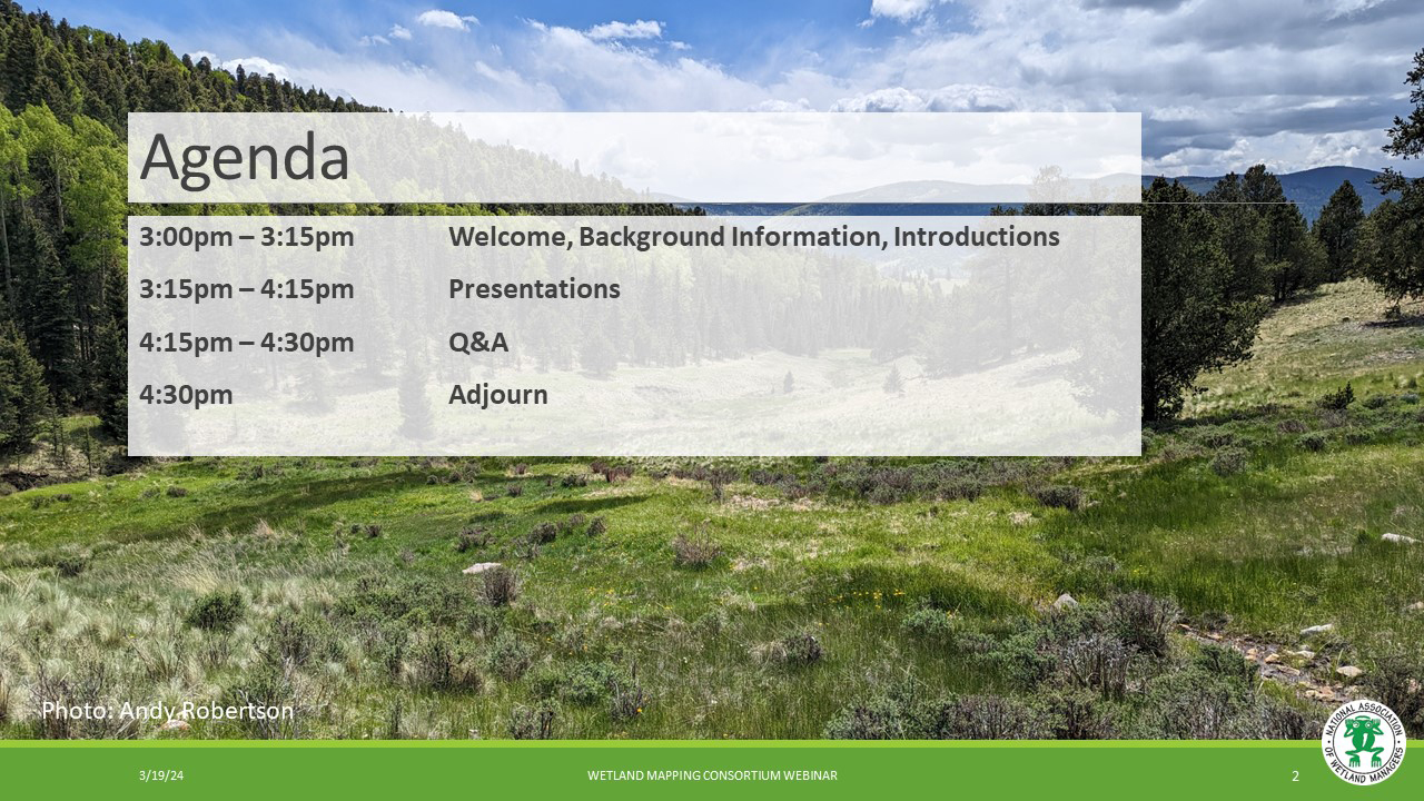
Held Tuesday, March 19, 2024 - 3:00 p.m.-4:30 p.m. ET
The 2023 Supreme Court decision in Sackett v. EPA is the most recent change to the scope of the Clean Water Act through its shrinking of federal jurisdiction over streams and wetlands. In the decision's wake, several states, organizations, and researchers have been developing predictive geospatial tools to map future possibilities for the extent of "Waters of the United States". This webinar featured presentations of ongoing prediction efforts in two states, Wisconsin and New Mexico, as well as a recently published national model to support future policy and regulatory frameworks.
INTRODUCTION
- Ian Grosfelt, National Association of Wetland Managers [PRESENTATION PDF]
PRESENTERS
- Joe Shapiro, University of California, Berkeley [PRESENTATION PDF]
- Tom Bernthal, Wisconsin's Green Fire [PRESENTATION PDF]
- Andy Robertson, GeoSpatial Services at Saint Mary’s University of Minnesota [PRESENTATION PDF]
ABSTRACTS
Joe Shapiro, University of California, Berkeley
We assess which waters the Clean Water Act protects and how Supreme Court and White House rules change this regulation. We train a deep learning model using aerial imagery and geophysical data to predict 150,000 jurisdictional determinations from the Army Corps of Engineers, each deciding regulation for one water resource. Under a 2006 Supreme Court ruling, the Clean Water Act protects two-thirds of US streams and more than half of wetlands; under a 2020 White House rule, it protects less than half of streams and a fourth of wetlands, implying deregulation of 690,000 stream miles, 35 million wetland acres, and 30% of waters around drinking-water sources. Our framework can support permitting, policy design, and use of machine learning in regulatory implementation problems.
Andy Robertson, GeoSpatial Services at Saint Mary’s University of Minnesota
New Mexico, one of the largest semi-arid states in the US is highly dependent on surface hydrology. From drinking water and cultural ceremonies to acequia farming and outdoor recreation, clean water supports all aspects of life in New Mexico. Water is a precious resource everywhere, but its importance is magnified in New Mexico’s arid climate.
The 2023 Supreme Court in Sackett v. EPA has the potential to remove federal Clean Water Act protections for many New Mexico waters. This presentation discussed efforts to quantify this potentially catastrophic impact and highlight the practical and political uncertainties which make such analyses challenging.
BIOS
 Joseph S. Shapiro is Associate Professor at the University of California, Berkeley, in Agricultural & Resource Economics and the Department of Economics. He also serves as Associate Editor of the Journal of Political Economy, Co-Editor of the Journal of Public Economics, Research Associate at the National Bureau of Economic Research, and Research Associate at the Energy Institute at Haas. His research agenda focuses on three general questions: (1) How do globalization and the environment interact? (2) What have been the effectiveness, efficiency, and equity impacts of environmental and energy policies over the last half century, particularly for water, air, and climate pollution? (3) How important are the investments that people make to protect themselves against air pollution and climate change? Shapiro has received an Alfred P. Sloan Research Fellowship, Kiel Institute Excellence in Global Affairs Award, and Marshall Scholarship. Shapiro holds a Ph.D. in economics from MIT, Masters degrees from Oxford and LSE, and a BA from Stanford.
 Andy Robertson is currently Executive Director of GeoSpatial Services at Saint Mary’s University of Minnesota. In this role, Andy is responsible for oversight and management of all GeoSpatial Services projects, activities and staff. GeoSpatial Services is engaged in a wide variety of projects across the Lower 48 and Alaska including: wetland inventory; National Hydrography Dataset updates; spatial data development; and natural resource condition assessments. GeoSpatial Services has been a key partner of the USFWS and has been working for over 18 years to update legacy National Wetland Inventory data across the nation. Andy is a steering committee member for the NAWM Wetland Mapping Consortium, a NAWM Board Member and is past-chair of the Alaska GeoSpatial Council Wetland Technical Working Group.
Please click only once on each video recording to view in this window.
Part 1: Introduction: Ian Grosfelt, National Association of Wetland Managers
Presenter: Joe Shapiro, University of California, Berkeley
![]()
View Past Wetland Mapping Consortium Webinars
PDF List of Past Wetland Mapping Consortium Webinar Recordings
View Upcoming Wetland Mapping Consortium Webinars